Author: Ben Hymans

  • Zion National Park – Utah

    Zion National Park – Utah

    Dates we visited: September 29th – October 2nd 2020
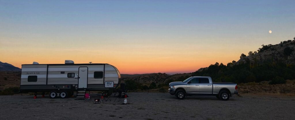
    Where we stayed: St. George / Hurricane KOA, Zion River Resort

    Zion National Park was the first of Utah’s “Mighty 5” National parks that we visited. It’s also one of the most popular National Parks in the country. Carved by the Virgin river through multi-colored sandstone rock, Zion is definitely an experience. We were met with a few surprises here, but that didn’t stop us from enjoying this National Park!

    Failed Boondocking

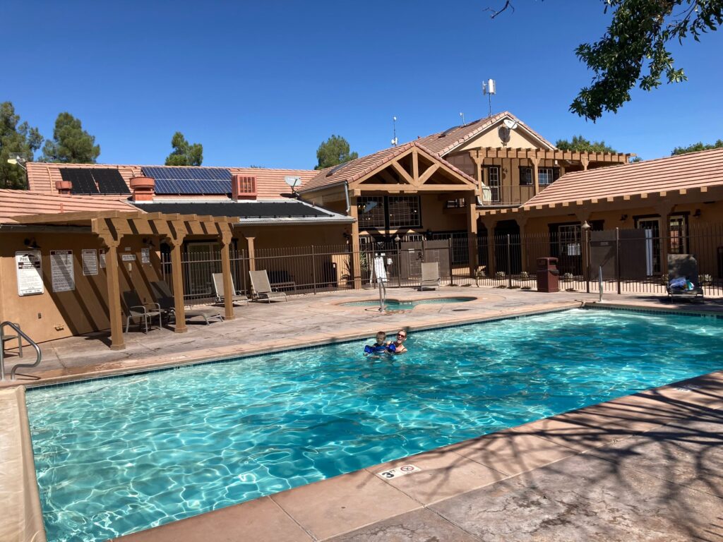
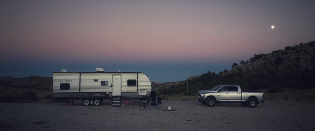
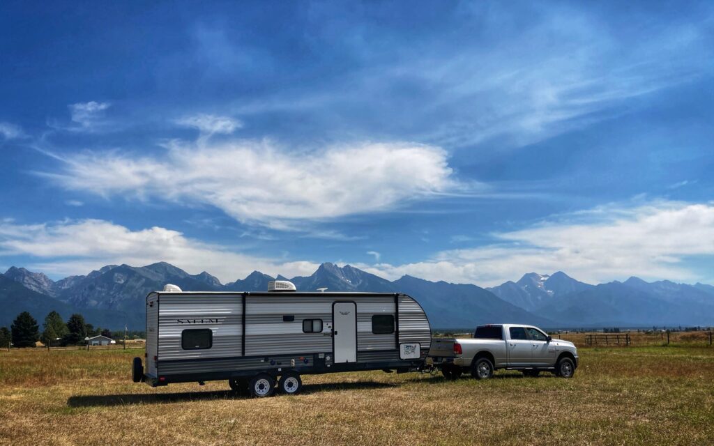
    Our initial plan for Zion was to boondock on some BLM land near the park. However, when I went out to scout some spots in the Hurricane Cliffs region west of Zion, I found the roads to be essentially impassable with our rig, and the spots we would have been able to get to were full. So we quickly changed our plans and managed to snag a spot at the Zion River Resort, which turned out to be super nice. Like, they had a super clean hot tub and pool kinda nice.

    The pool was an especially nice perk because it was hot! The high elevation and cool weather at Great Basin National Park had convinced us that it was Fall time, but a few thousand feet lower, and in the direct southern Utah sun it still felt like summer.

    Surprise!

    For our first trek into Zion I had researched a few hiking trails, and planned to drive us up the Zion Canyon Scenic Drive to do the Zion Narrows Riverside Walk. Well, we stopped into the visitor center to get a map and a Junior Ranger activity book and found two things:

    1. Zion was BUSY! The bookstore at the visitor center was open, and quite full, and there were a ton of people in line at the ranger tent. The second surprise may have partially responsible for the business at the visitor center…
    2. Turns out that during the summer months, Zion Canyon Scenic drive is closed to public traffic. The only way up the canyon is via a shuttle, and the shuttle tickets sell out very quickly. The shuttles were operating, but even if tickets had been available, we probably would not have taken one. I’m sure they were operating with practical safety precautions, but riding on a shuttle bus with a bunch of strangers just didn’t sound like a great idea for us right now. So we scratched the Zion Canyon drive off our list for this visit.

    Zion was BUSY! The bookstore at the visitor center was open, and quite full, and there were a ton of people in line at the ranger tent. The second surprise may have partially responsible for the business at the visitor center…

    Turns out that during the summer months, Zion Canyon Scenic drive is closed to public traffic. The only way up the canyon is via a shuttle, and the shuttle tickets sell out very quickly. The shuttles were operating, but even if tickets had been available, we probably would not have taken one. I’m sure they were operating with practical safety precautions, but riding on a shuttle bus with a bunch of strangers just didn’t sound like a great idea for us right now. So we scratched the Zion Canyon drive off our list for this visit.

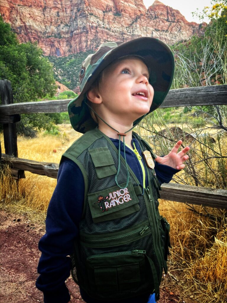
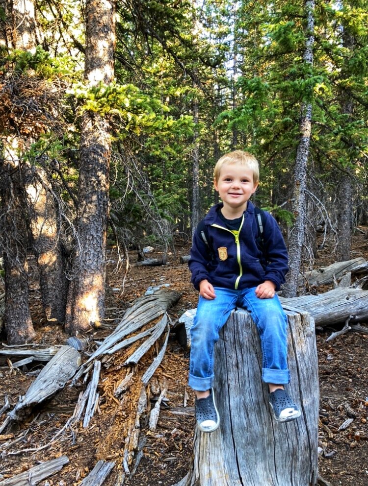
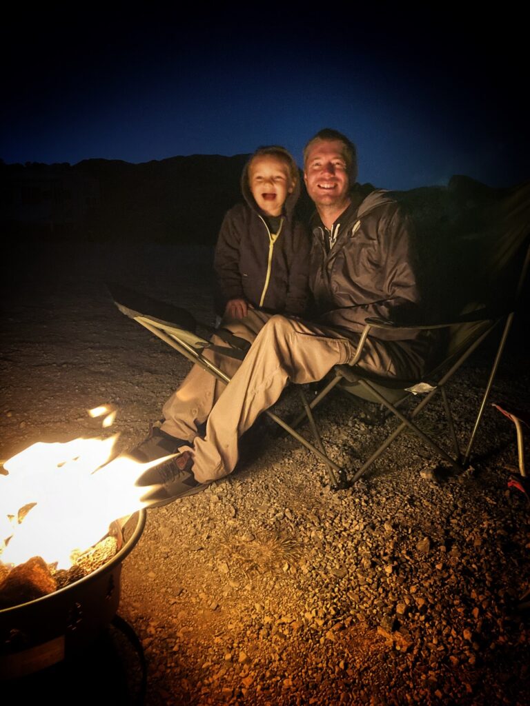
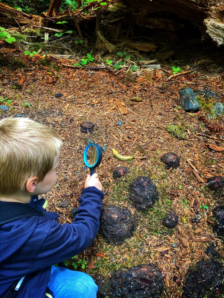
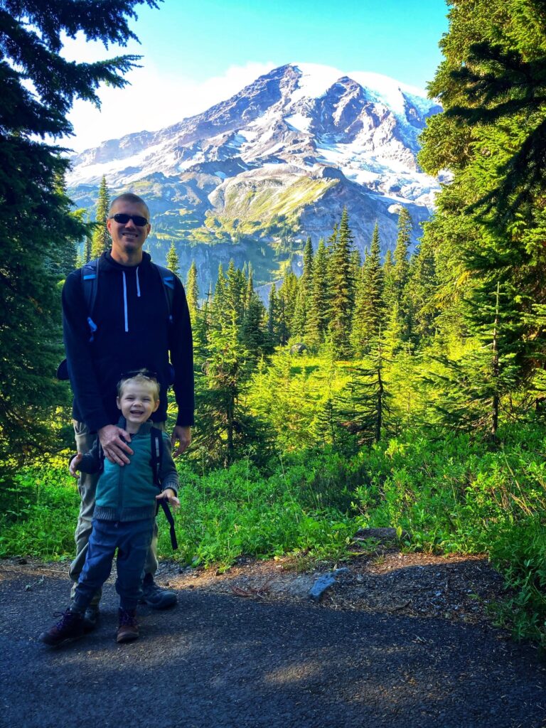
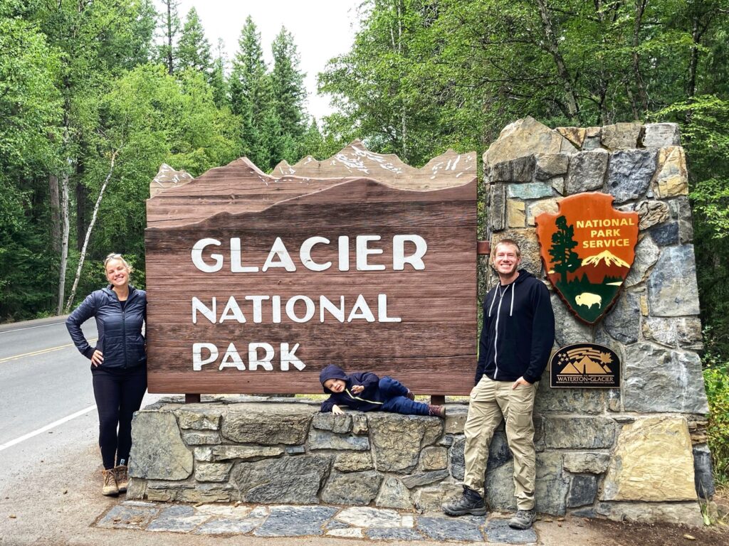
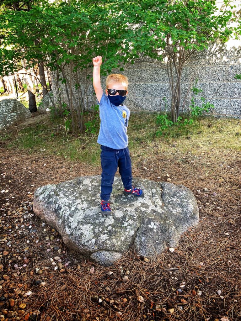
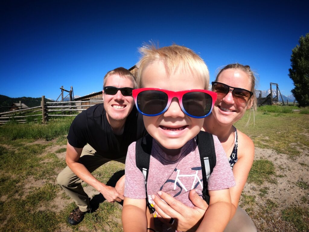
    Those surprises aside, we did score a Junior Ranger vest for Owen here, which he absolutely loves. He insists on wearing it anytime we are hiking in a National Park. If you have a budding Junior Ranger that might be interested in this stylish accessory, you can get them at most of the park stores, or shipped to you from the National Parks Online Store.

    TIP: If you plan to see and hike some of the more famous Zion attractions, like Angels Landing, be sure to buy your shuttle tickets as early as possible, or visit the park during a time when normal traffic is allowed up the canyon (off-season).

    TIP: If you plan to see and hike some of the more famous Zion attractions, like Angels Landing, be sure to buy your shuttle tickets as early as possible, or visit the park during a time when normal traffic is allowed up the canyon (off-season).

    Zion – Mt. Carmel Highway

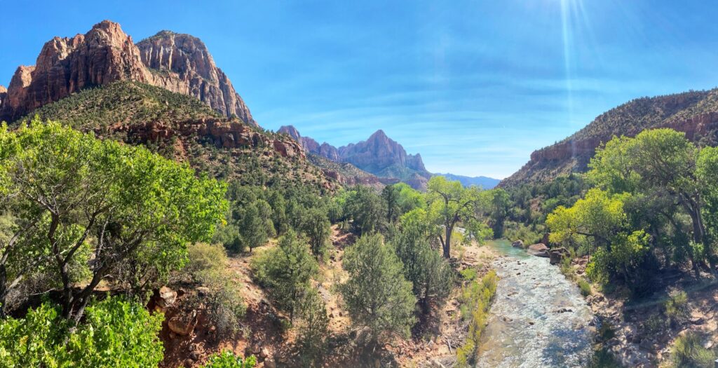
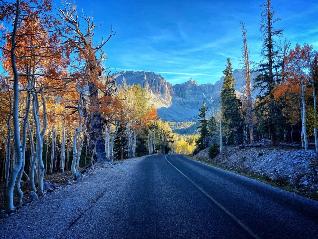
    We were able to drive the Zion – Mt. Carmel Highway, which is a different part of the park than the Zion Canyon, through the mile long tunnel, and all the way up to the Checkerboard Mesa. If you take this drive, be aware that the tunnel has size restrictions and you may have to pay for passage if you are in anything bigger than a pickup truck or camper-van. This beautiful drive showcases the unique geology and scenery of the area and offers many trailheads and scenic overlooks. The steep cliffs have multiple rock layers ranging from deep reds to bright whites, most of which is composed of the navajo sandstone for which the region is famous.
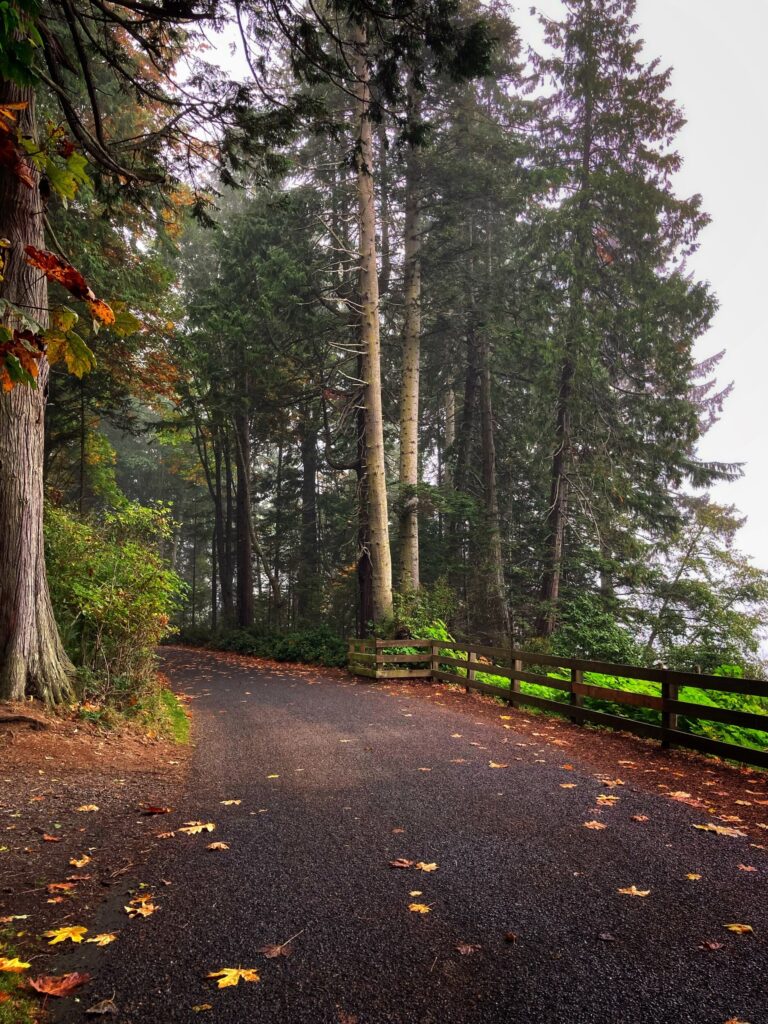
    Pa’rus Trail

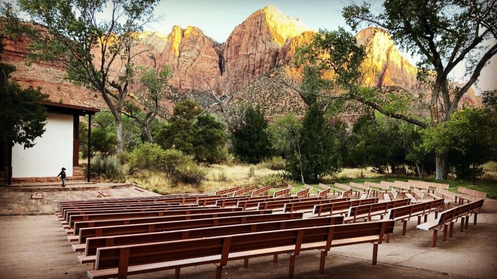
    Even though our initial planed hiked was thwarted, we were still able to spend some time on the Pa’rus trail which leaves from the visitor center, heads past the campground and up towards the valley. This is a popular paved trail along the Virgin river with great views of the valley walls. It’s a common path for mountain bikers starting a day trek from the visitor center, so there was a fair amount of traffic, but it was still enjoyable. The highlight was taking a quick detour off the trail to the amphitheater at the nature center. Our Junior Ranger gave us a full on lecture about the area, until he was interrupted by a mule deer that popped out of some bushes right behind the stage. This was a great trail for kids, with plenty of spectacular scenery for the adults.
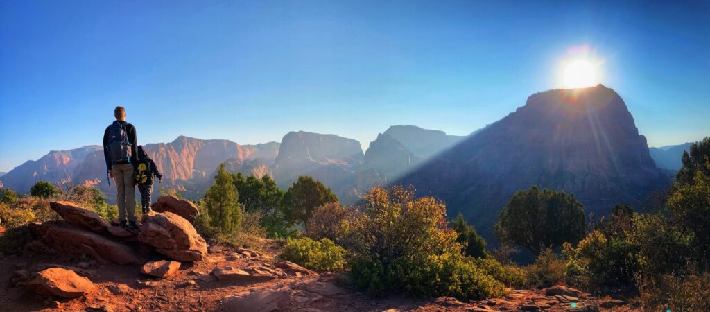
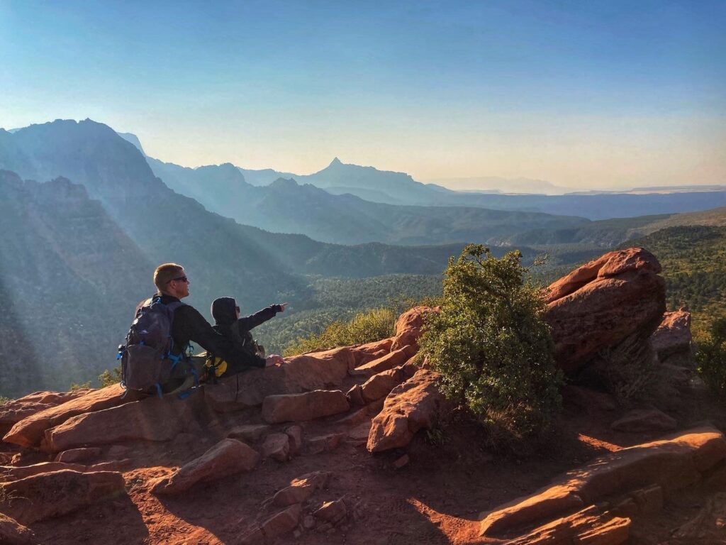
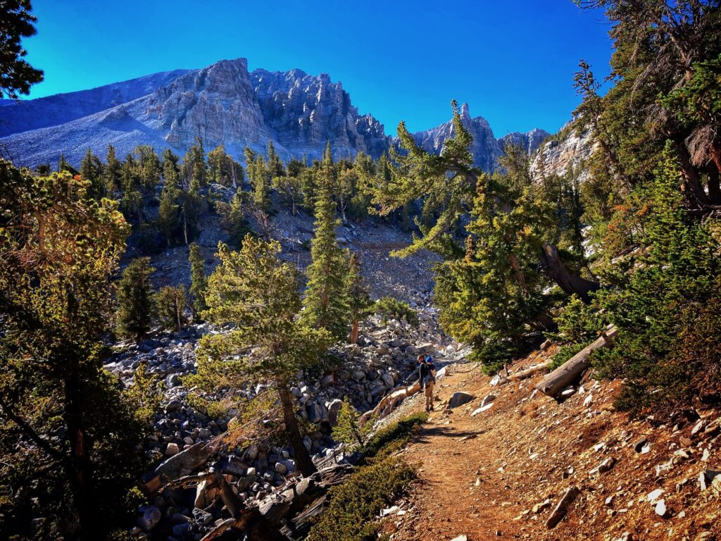
    Kolob Canyons

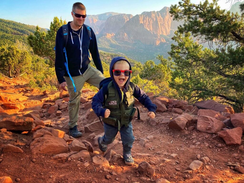
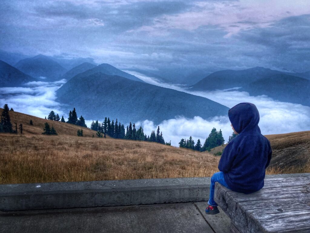
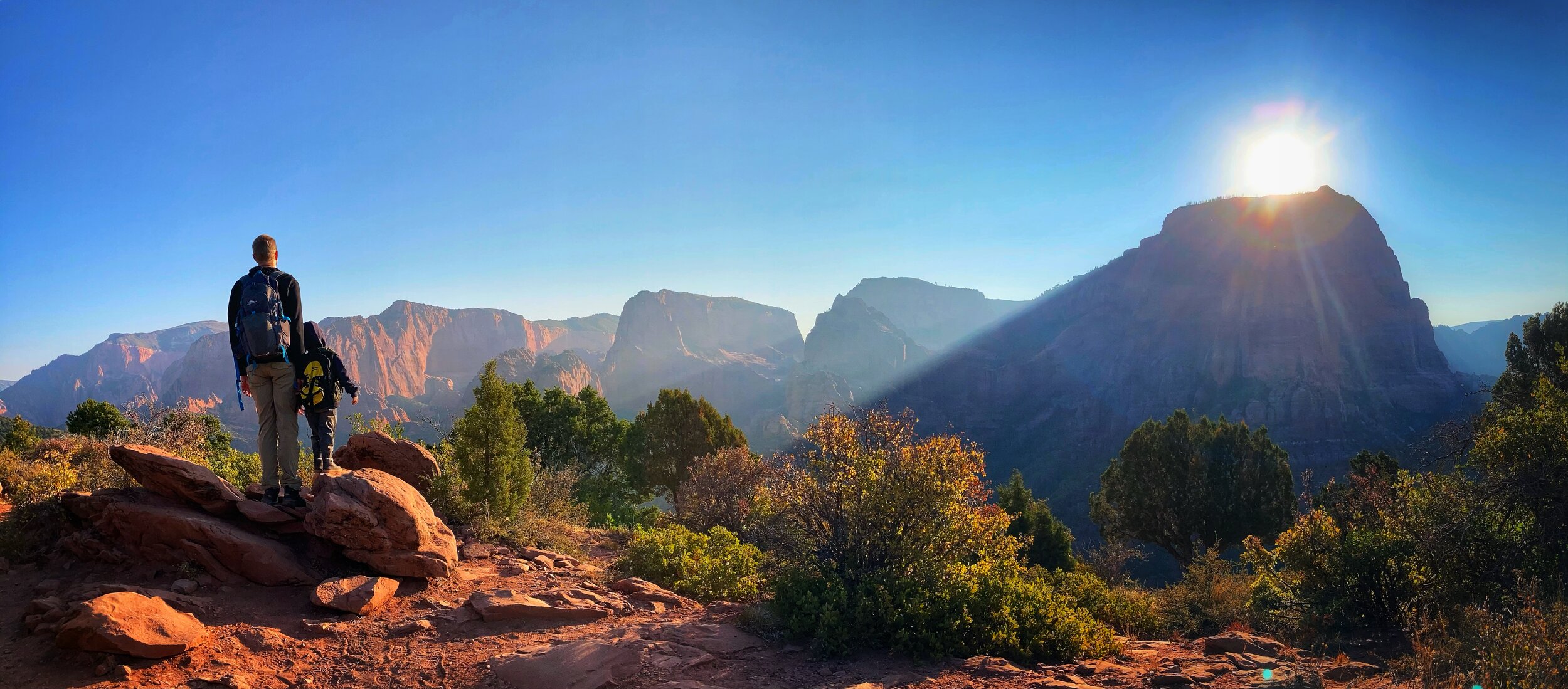
    Based on a tip from some friends, we also took a day to explore the northern side of the park known as Kolob Canyons. What a great tip that turned out to be! There is a separate entrance to this this area, and no roads through the park connect the main Zion entrance to Kolob Canyons (though there are some lengthy hiking trails). Kolob is far less trafficked and we only encountered a few other hikers along the Timber Creek Overlook Trail. It offers similarly epic red-walled canyon views, without having to battle traffic or shuttles. The hiking app Alltrails rates the Timber Creek hike as “moderate” due to some rocky areas and the elevation change, but we had no trouble hiking this 1.1 mile out and back with Owen.

    Tip: A morning hike in the Kolob Canyons area will keep you cooler in the warm months, but afternoon sunshine offers more light to enjoy the natural beauty of this area.

    Tip: A morning hike in the Kolob Canyons area will keep you cooler in the warm months, but afternoon sunshine offers more light to enjoy the natural beauty of this area.

    Even though we got a few surprises at this National Park, we still greatly enjoyed our time here. As with many others, this goes on the list of destinations that we would like to return to in the future to experience further. We’ll probably be surprised by something different next time, but that’s kind of all part of the travel and adventure experience!
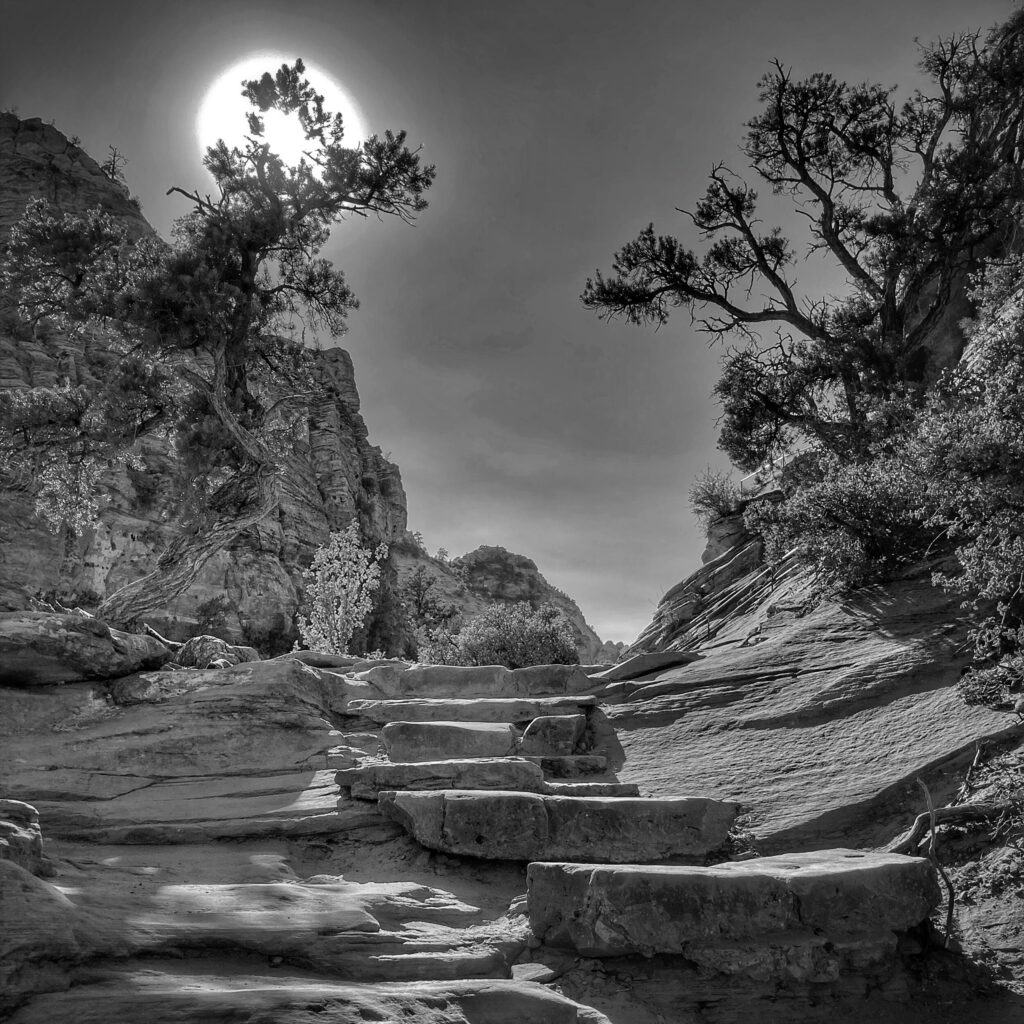
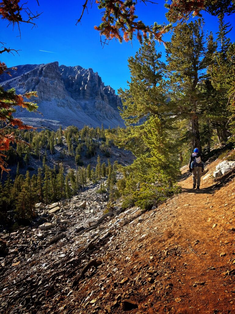
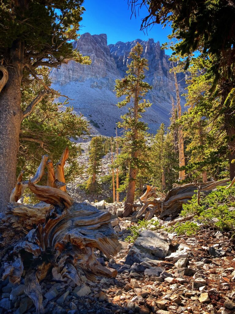
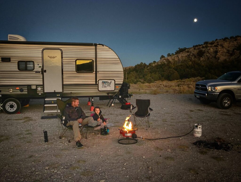
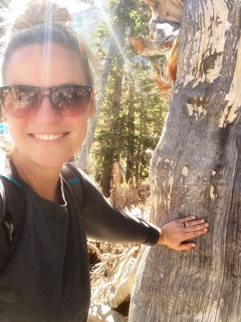
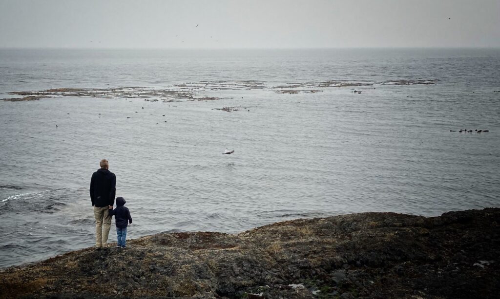
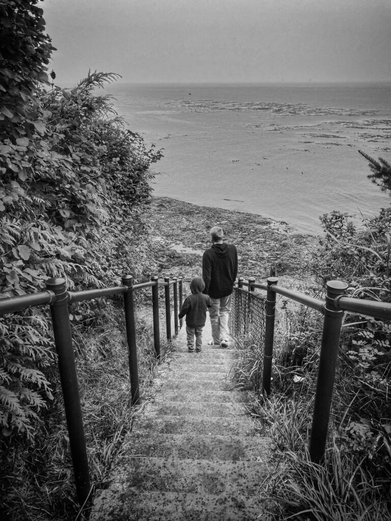
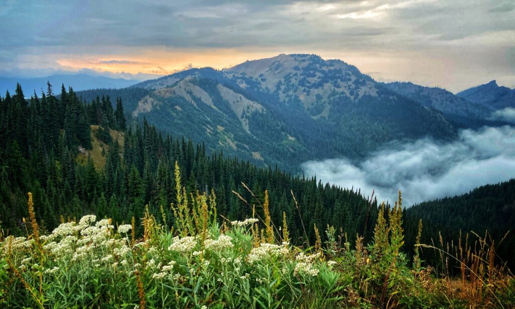
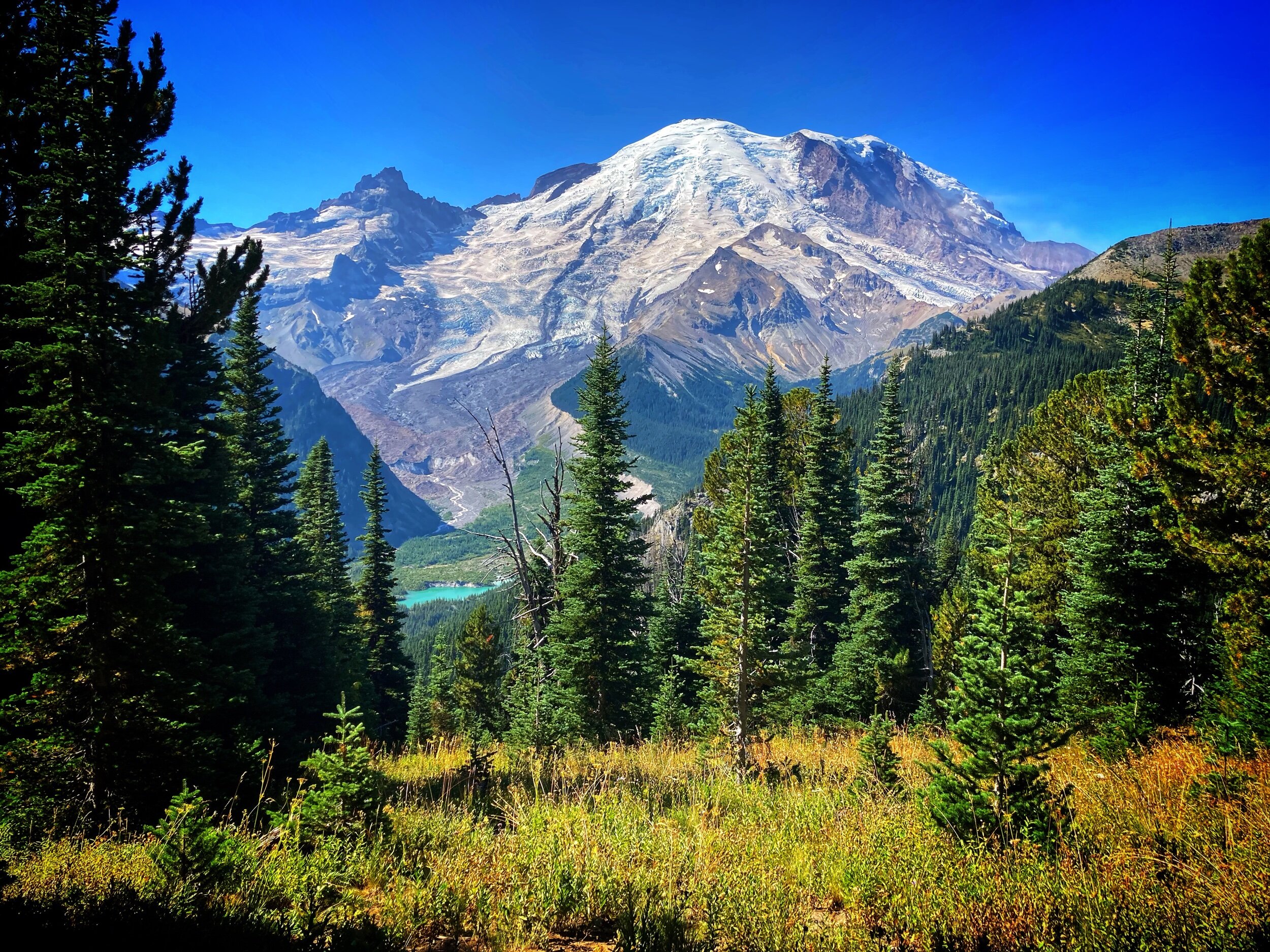
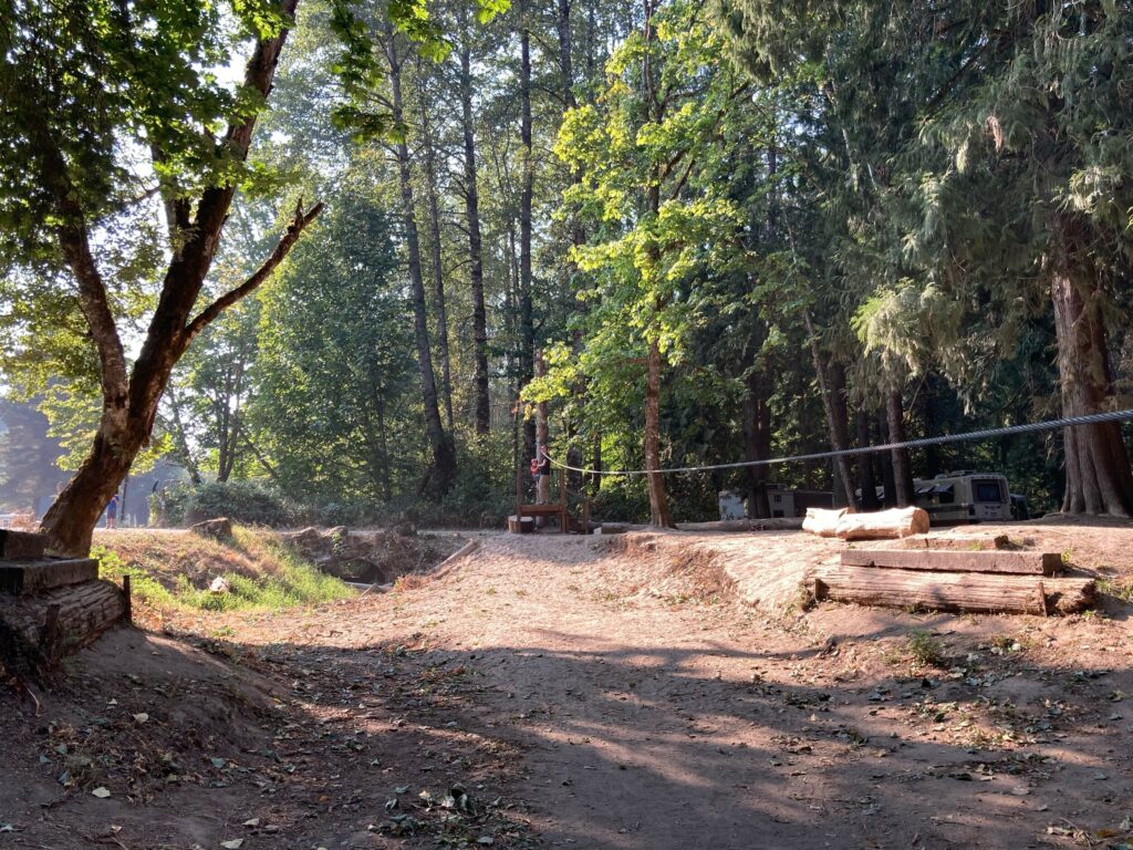
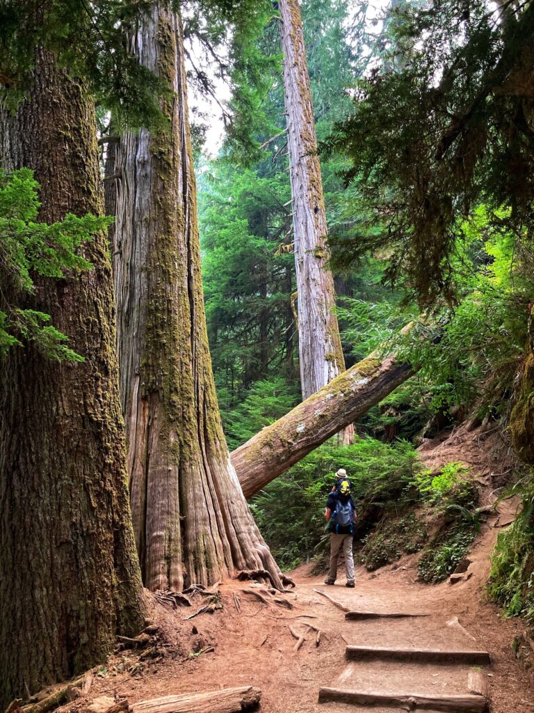
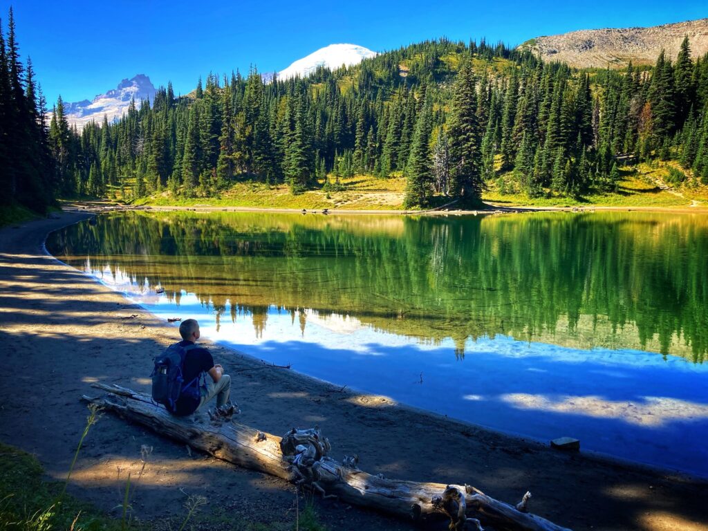
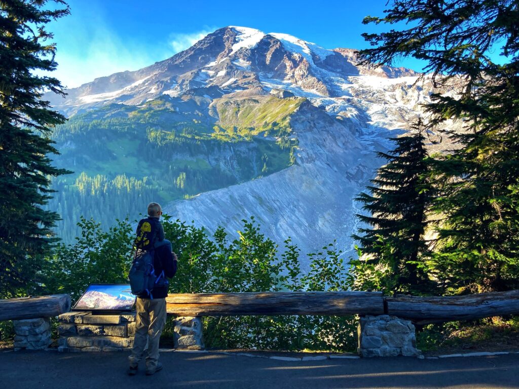
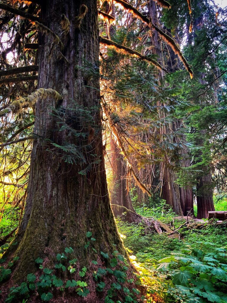
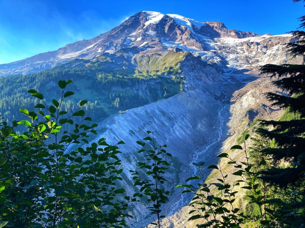
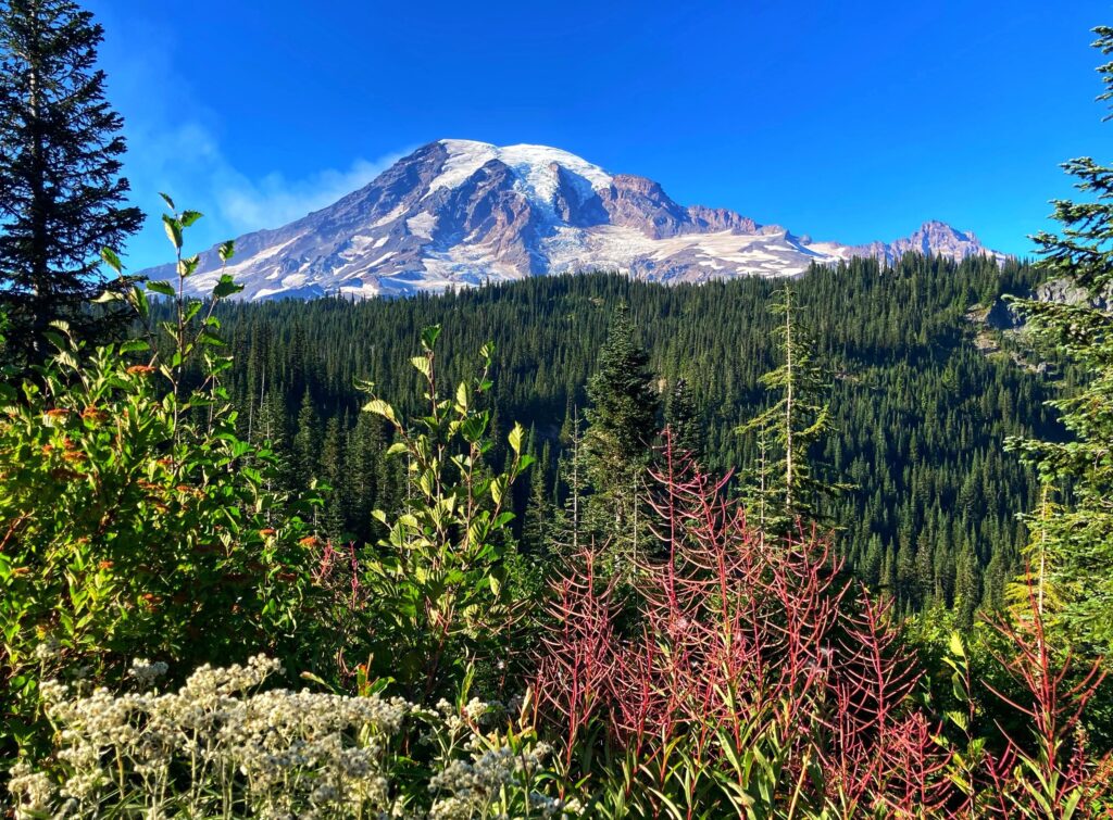
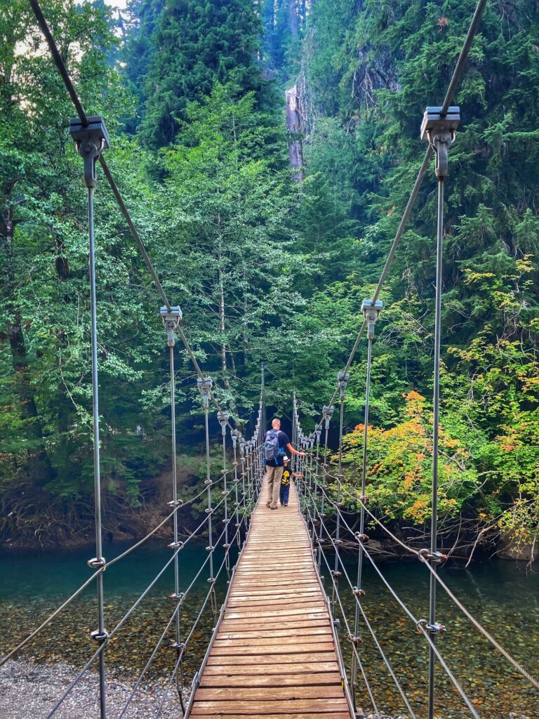
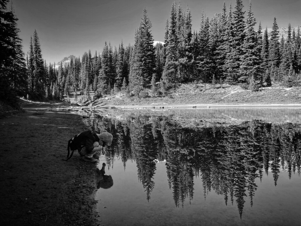
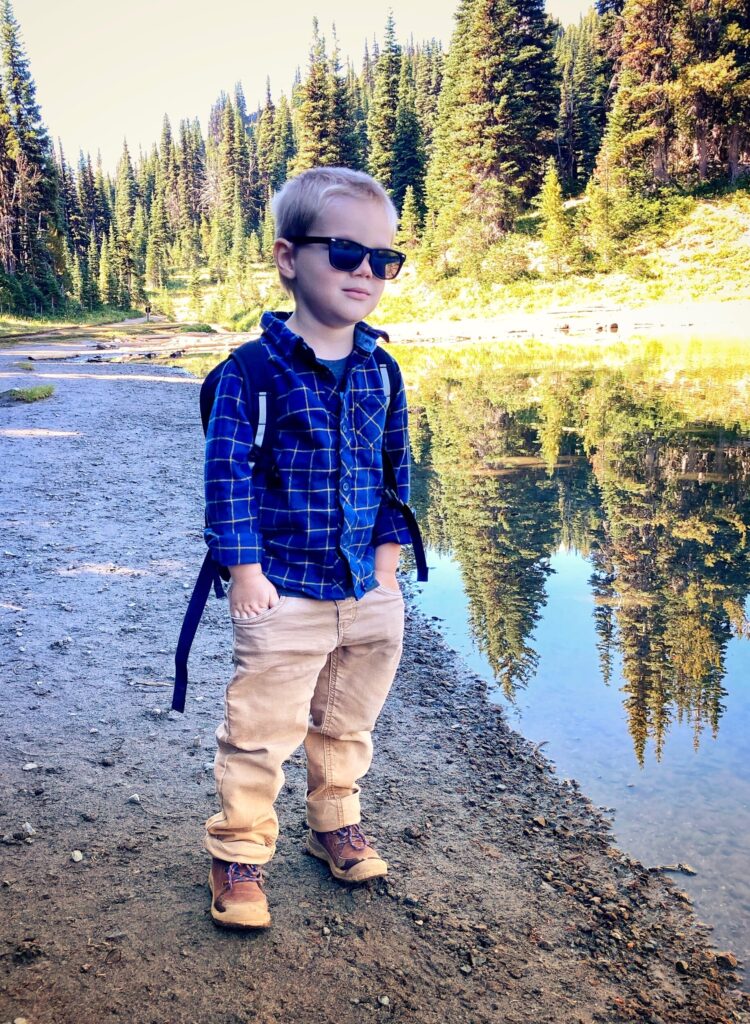
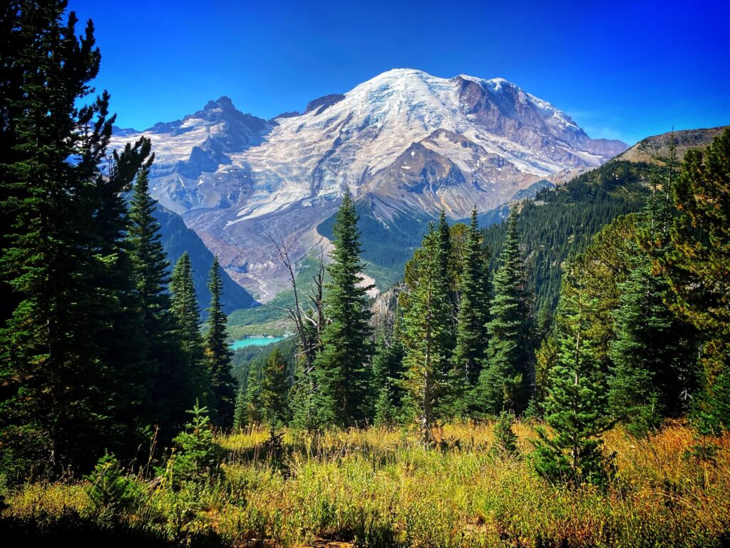
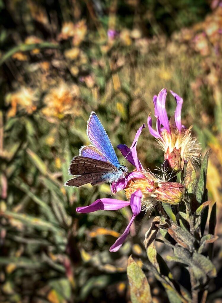
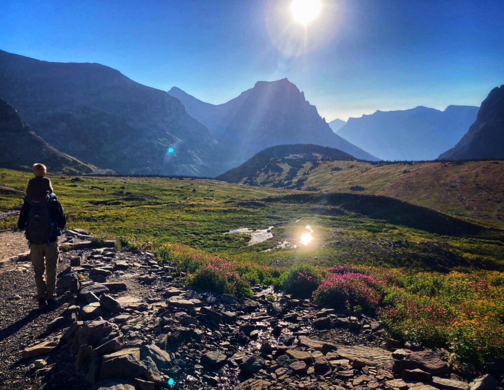
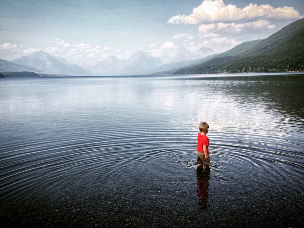
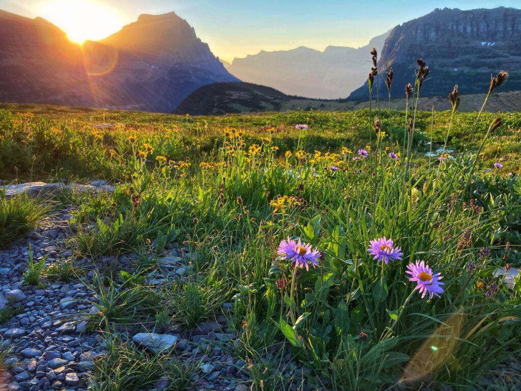
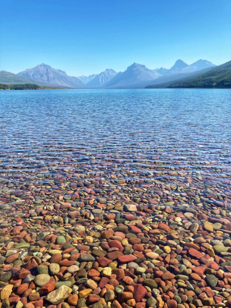
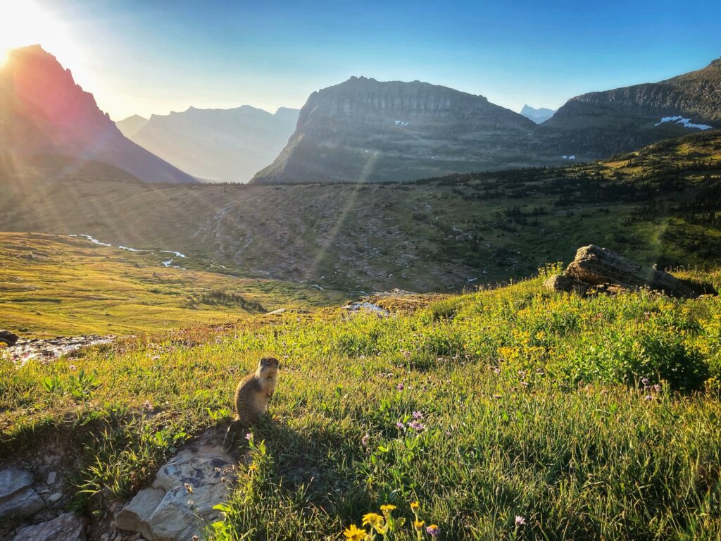
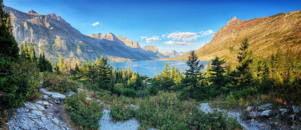
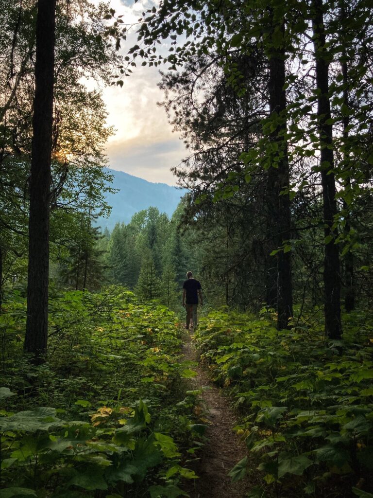
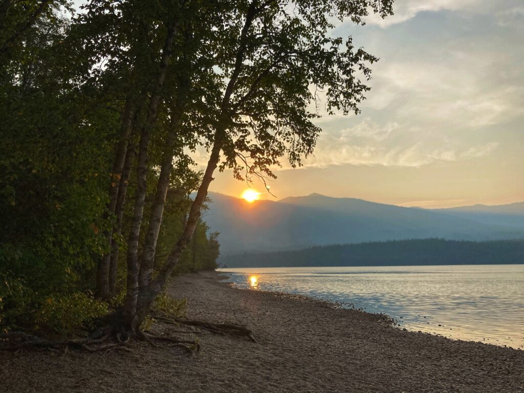
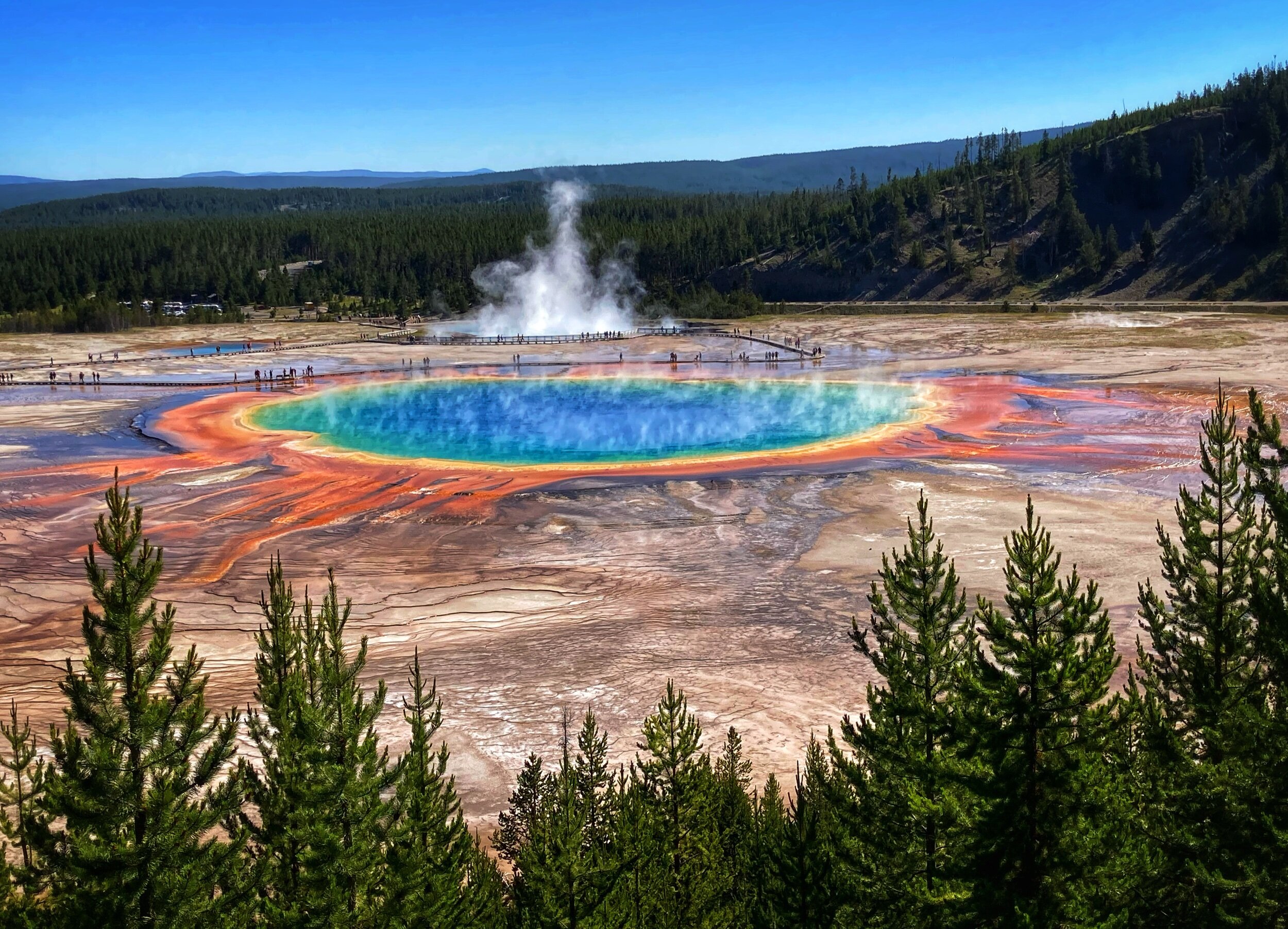
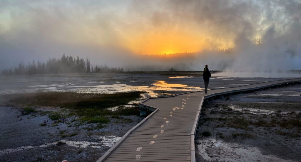
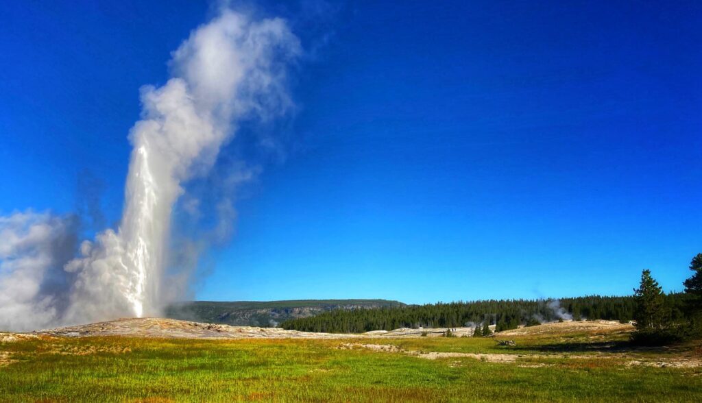
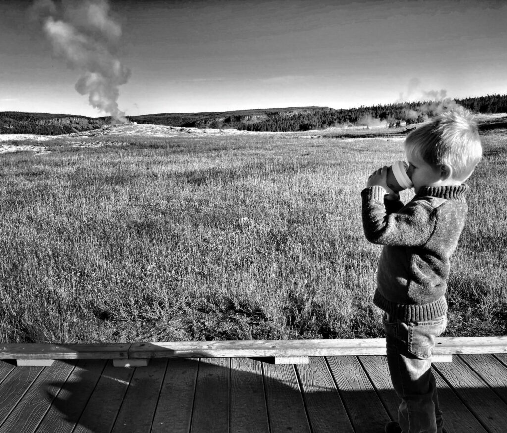
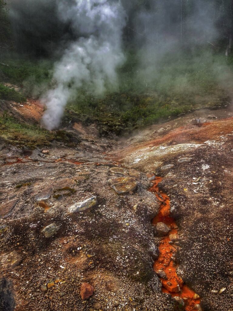
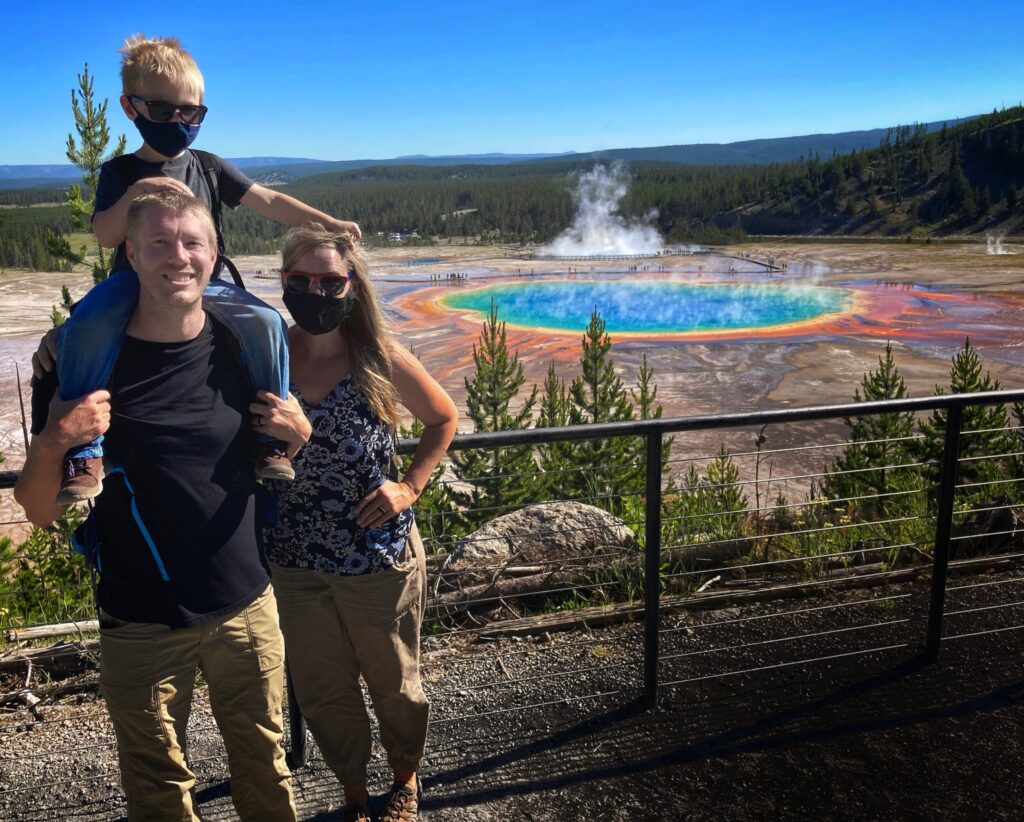
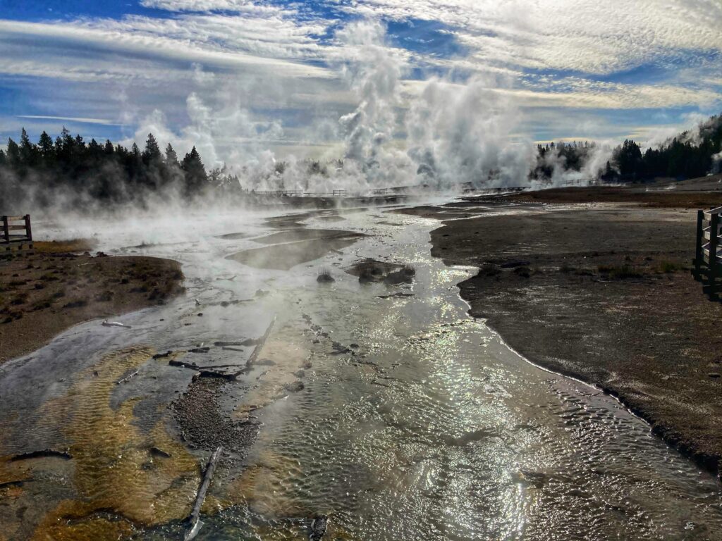
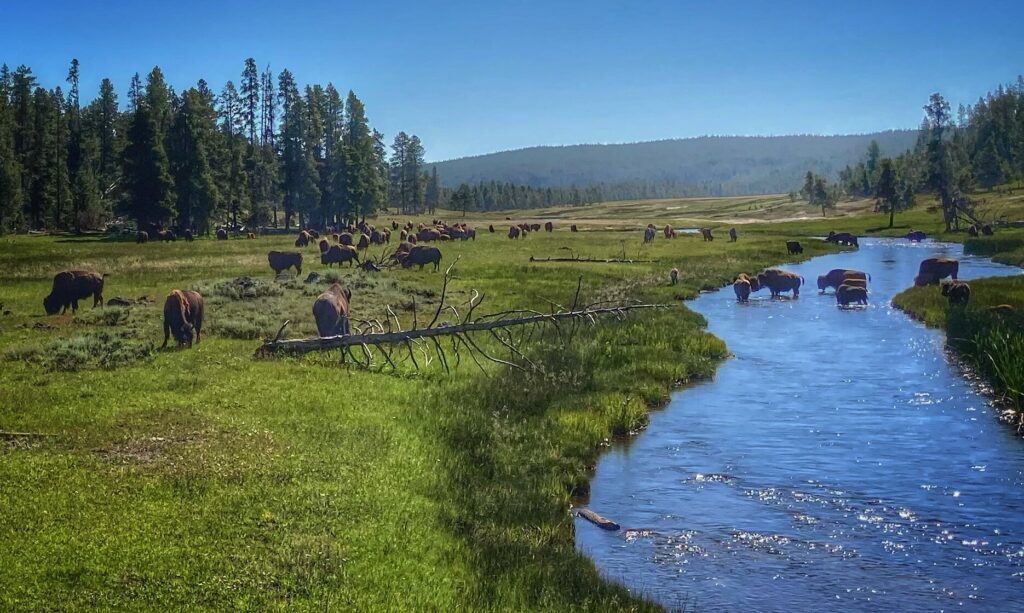
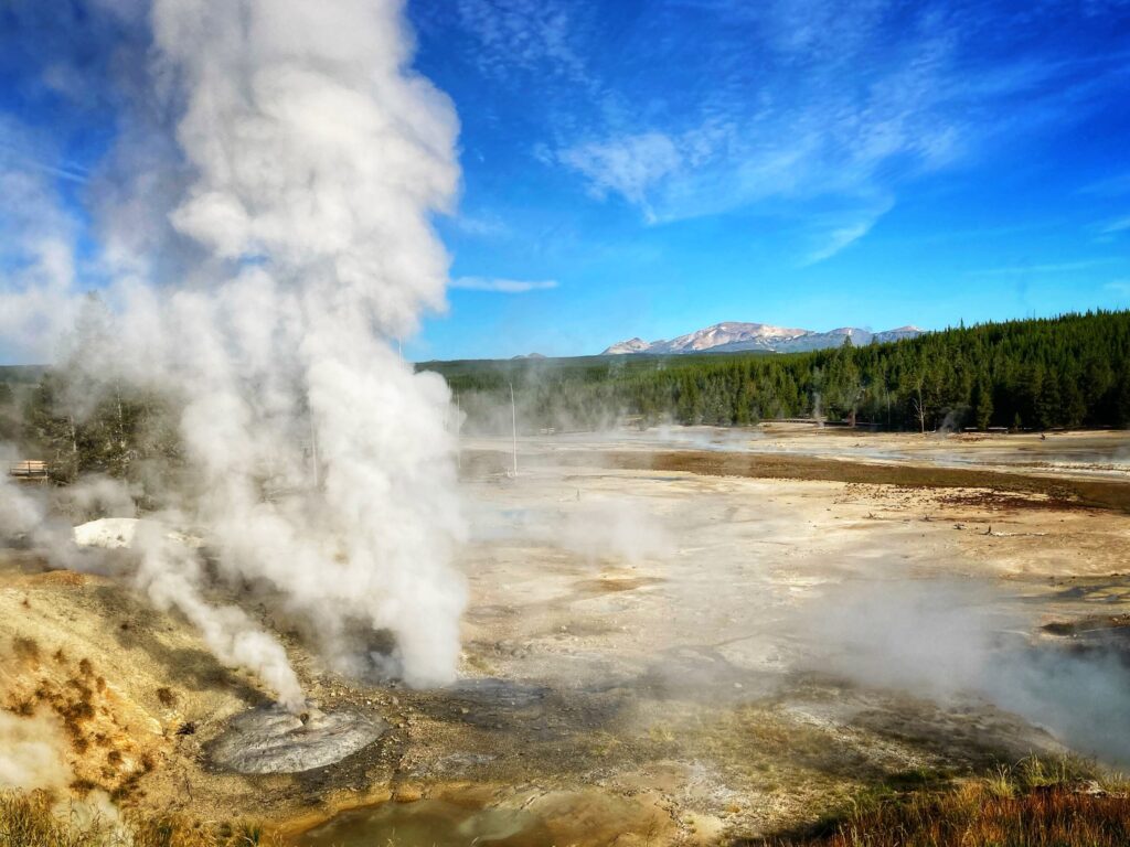
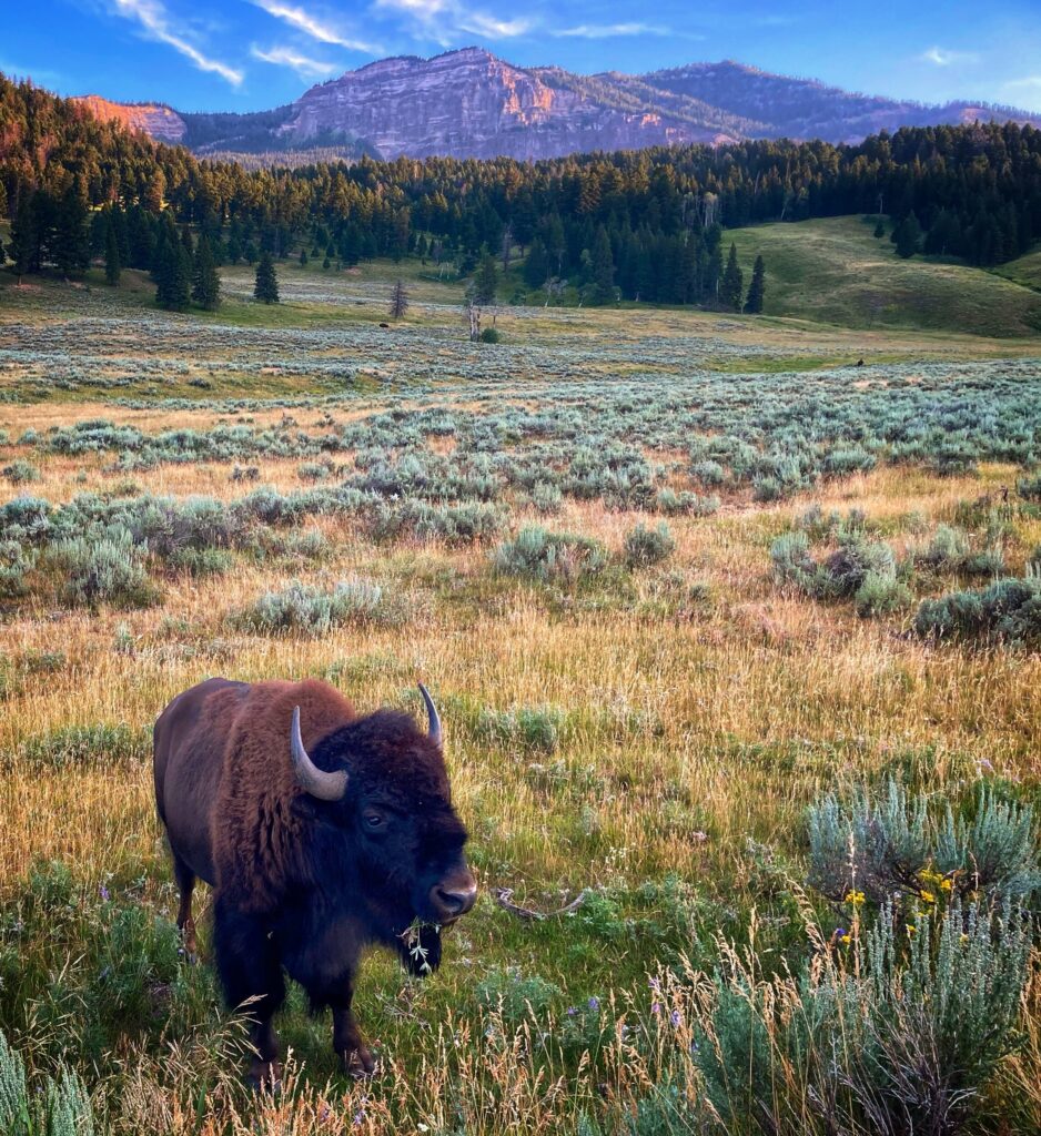
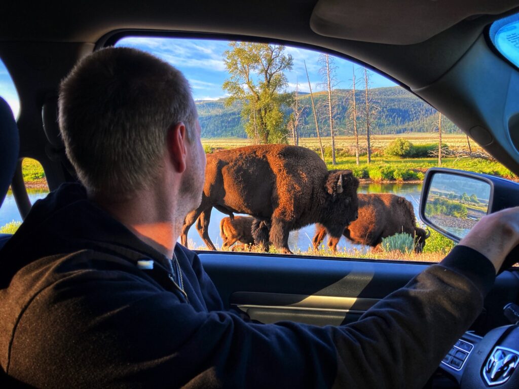
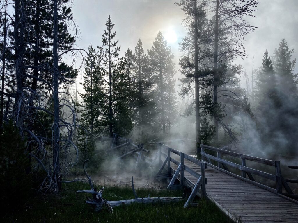

    Gallery

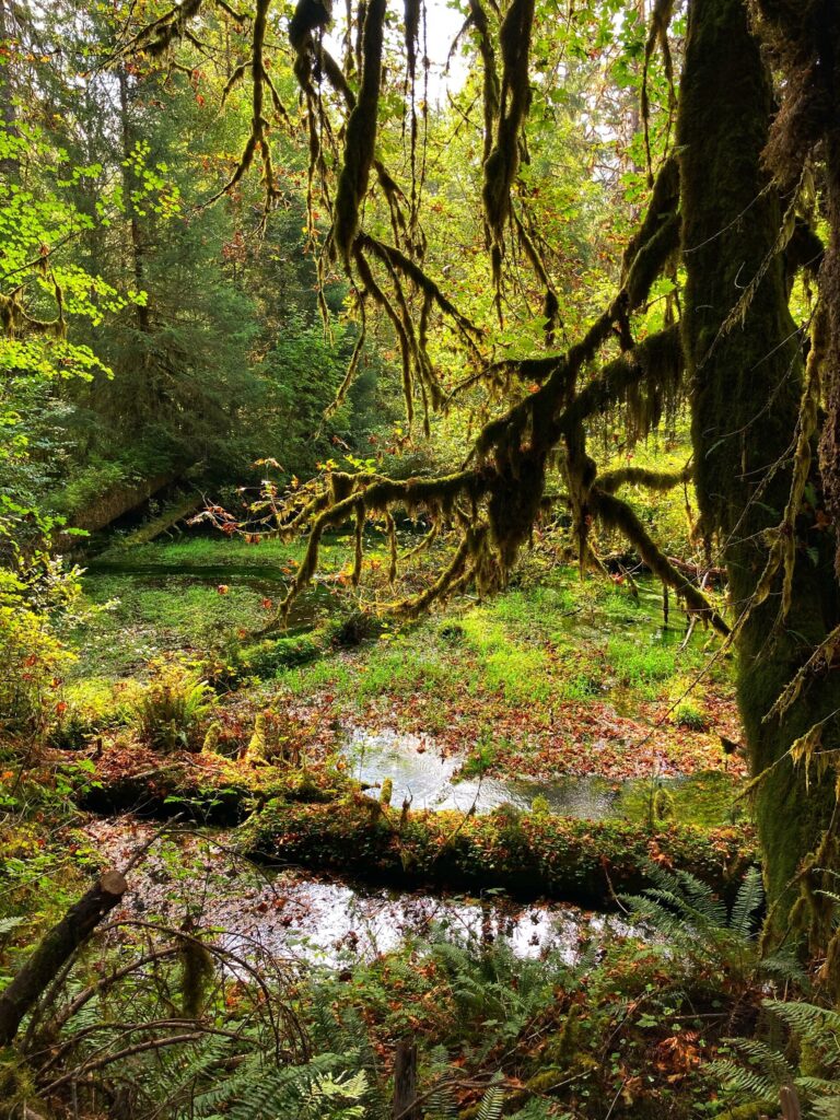
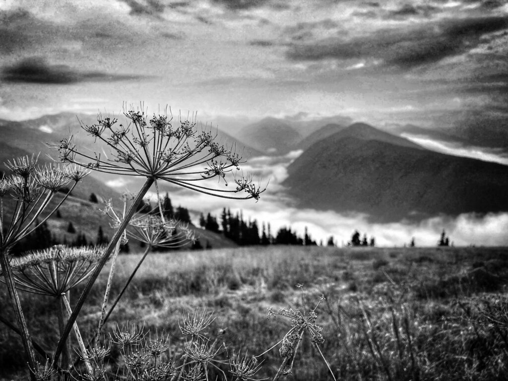
    One of the more well known and popular National Parks, Zion is known for its red-walled canyons combined with lush green plant life. We got a few surprises at this park, and we also found some hidden gems.

  • Great Basin National Park – Nevada

    Great Basin National Park – Nevada

    Dates we visited: September 26th-29th 2020
    Where we stayed: Ely, NV KOA, Sacramento Pass Rec Area (BLM)

    After we left Olympic National Park, our original travel plans had us going up to North Cascades National Park, and then heading down the West Coast through Oregon and California. Unfortunately, this year was an especially bad wildfire season in those areas, so we decided to make some changes. Instead, we made our way back to the East through Idaho and then down to Nevada to visit Great Basin National Park.

    To paraphrase one of our National Park travel guides, “Great basin is pretty far from everything, and not on the way to anything.” We found this description to be accurate. That said, Great Basin is kind of a hidden gem. It’s remote location means that attendance is much lighter than other parks, and it offers some beautiful and truly unique scenery and experiences.

    We were able to find an awesome (and free) BLM campground just a few miles down the road from the main entrance. If you are willing and able to dry camp (no hookups) for a day or two, definitely check out this spot for your visit to Great Basin.

    Lehman Caves Visitor Center

    Not surprisingly, the cave system was closed due to Covid-19, but there is a nice, short nature trail that circles the visitor center that we completed. The trail offers signage describing some of the plant and animal life, as well as the mountain ranges and deserts in the area. In non-covid times, it would be fun to return here to explore the caves or grab lunch at the cafe in the visitor center.

    One unique attribute about Great Basin is that it’s essentially a closed loop water system, meaning none of the precipitation that falls here flows to an ocean. It is all captured in local lakes, evaporates, or is absorbed through the ground into the water table. This contributes to a unique “mountain island” ecosystem where some of the plants and animals here exist only in this region.

    Wheeler Peak

    The highlight of our visit was the drive up to Wheeler Peak to the Sky Islands Forest Trail and Bristlecone Pine Glacier Trail. We made two trips up the mountain, completing the Sky Islands hike in the evening the first day, and the Bristlecone Pine trail in the morning on the following day. We were pleasantly surprised to catch the Aspen trees in the forest transitioning to bright oranges and yellows for Fall time. Additionally, this scenic drive offers views of the Nevada desert from a unique high elevation vantage point.

    Sky Islands Forest Trail

    The Sky Islands Trail, is a short loop trail that is mostly boardwalk and flat gravel. It was a perfect trail for a mild evening stroll for our whole family. Owen had no problem completing it and enjoyed being our group’s hiking leader. This trail highlights the alpine ecosystem, complete with glacier fed streams.

    Bristlecone Pine Trail

    We hiked the Bristlecone Pine Glacier trail the next morning. The trail goes through a Bristlecone Pine grove, and then continues on to the foot of a glacier. We opted to turn around at the Bristlecone Grove as that was about 3.5 miles round trip with a 600-700 foot elevation gain.

    This was probably the most challenging hike we have completed with Owen to date, and while he did spend a little time in our kid carrier on my back, he surprised both Kristy and I by hiking about 70% of this on his own.

    The trail includes some steep parts, and a few exposed sections that require attention with a toddler, but it was super enjoyable.

    The destination of the Bristlecone Pine grove was rewarding as well. As it turns out, Bristlecone pines are one of, if not the oldest living things on Earth. Apparently, the oldest living thing title is contested by the creosote bush, and scientists have not yet come to consensus on who deserves this designation.

    Some of the trees here, which you can walk right up to are nearly 4,000 years old. The oldest known Bristlecone tree has been dated to be over 5,000 years old. Standing in front of a 4,000 year old living thing, and thinking about everything that has happened in the span of its lifetime, is a humbling experience.

    Perhaps we had low expectations going into Great Basin, but this park ranked as one of our favorites so far. Due to its location you will probably never be in the area by chance, but if you are looking for a destination where you can avoid the crowds and experience some pristine nature with incredible views, consider making the trek to this National Park. If you’re not convinced, here is a time-lapse of some of the more scenic views of the drive up to Wheeler Peak.


    Great Basin Gallery

    This National Park is one of the most remote places we have visited so far. The trek through the Nevada desert rewarded us with surprising Fall colors, and gnarly 4,000 year old trees. This isn’t a park you experience on your way to something else, but if you choose to plan a visit here, we’re certain you will enjoy it.

  • Olympic National Park – Washington

    Olympic National Park – Washington

    Dates we visited: September 15th-18th 2020
    Where we stayed: Port Angeles KOA, 7 Cedars Casino

    The city of Port Angeles, WA was our basecamp for visiting Olympic National Park. Unfortunately, when we arrived, wildfire season was kicking into high gear on the West coast. While this area was generally lower risk due to it’s humid climate, the smoke rolling in from elsewhere in the country was dense, and the air quality was extremely poor. We decided to limit our time outdoors due to the bad air quality, but we still managed to visit each of the three distinct ecosystems in Olympic: the coast, the rainforest and the alpine mountain region.

    Additionally, we experimented a little bit with different camping styles on this leg of our trip. We stayed a few nights in a casino parking lot, and “moochdocked” for the first time. More on this in a bit.

    The Hoh Rainforest

    So let’s just get this out of the way… both Kristy and I were surprised to learn there was a rainforest here. Really, that there wa a rainforest anywhere in North America. Granted it is a temperate rainforest and not a tropical one, but still.

    We chose the Hall of Moss trail in the Hoh rainforest, for a relatively quick hike that would give us a taste of this ecosystem. It proved to be a very enjoyable trail that wound through the forest, over streams, and offered up-close views of a variety of plants and animals. All the vegetation here is quite large due to the moisture in the area, giving the forest a prehistoric vibe, The trail was very toddler friendly, and Owen hiked the majority of it on his own.

    We were hoping to catch a glimpse of a banana slug, which I had imagined in my mind to look pretty much just like a banana. Nature-spotter Owen was of course the first one of us to find one. As it turns out, they don’t look exactly like a banana, but they are still super big slugs, and really crazy looking.

    The Coast

    Olympic contains seventy miles of coast along the Pacific ocean, which can be explored in a variety of ways. We made a quick trip out to Rialto Beach and walked along the shore while the large Pacific waves rolled in. The sky was hazy with smoke from the wildfires in the area, but it was beautiful nonetheless. Swimming in the water here is discouraged due to the frequency of large uprooted trees from surrounding areas being washed ashore. I don’t think I would have wanted to swim anyway, as the beach is rocky, and the water chilly. We did however see a couple brave souls out surfing.

    This was Owen’s first trip to the ocean, and he had a blast running along the shore and watching the waves come in. One particularly memorable moment was when a large wave caught us a little off guard and Owen and I ended up with sopping wet pants and hiking boots. I think Kristy had a good chuckle at us from her dry vantage point a little higher up the beach.

    While not technically part of Olympic National Park, we also stopped at the Salt Creek Recreation Area, which is along the coast of the inland bay. This coastal area experiences a big swing from high tide to low tide, and offers a unique opportunity to explore the tide pools during low tide. We hopped around on the slick rocks and saw crabs, mussels, and a variety of plant life.

    TIP: Salt Creek Recreation Area is in the vicinity of Olympic. It is free for day use, and is much less busy than some of the popular areas in the National Park. Check the tide charts so that you can time your visit at low tide and explore the tide pools.

    TIP: Salt Creek Recreation Area is in the vicinity of Olympic. It is free for day use, and is much less busy than some of the popular areas in the National Park. Check the tide charts so that you can time your visit at low tide and explore the tide pools.

    The Mountains

    The alpine mountain ecosystem in Olympic might as well be its own park with how different it is from the other two areas. We took an evening drive up to the Hurricane Ridge visitor center to experience this part of Olympic. We found the area pretty much deserted, save for a newlywed couple and their wedding photographer taking a few pictures. It was downright cold coming from sea level up to 5,242 feet, and the damp air due to the proximity to the coast created low clouds that flowed through the valleys.

    While we were there, we completed the short, but enjoyable Cirque Rim Nature Trail hike. I’m told that on a clear day you can see to the coast or even to the Canadian border here, but the fog and smoke on the day we visited limited the views. However, those same factors combined to make for a pretty spectacular sunset.

    The drive down from Hurricane Ridge proved to be one of the most unanticipated, white-knuckle drives of our trip so far. The fog had rolled in quickly, and in the dark, our visibility was cut down to about 10-20 feet in front of the truck. That, combined with the steep mountain roads without guardrails, led to a very slow drive back down the mountain. We made it safely though, and we’re glad we were able to experience an evening at Hurricane Ridge.

    Olympic Game Farm

    On the recommendation of one of our friends, we also visited the Olympic Game Farm. We were able to drive through the farm and get an up close look at tons of animals like bison, bears, llamas and elk. The animals here are generally re-homed or rehabilitated, or come from other licensed facilities. Owen thoroughly enjoyed seeing these creatures so close. If you are in the area, this is a fun attraction that is sure to be enjoyable for kids and adults alike.

    Casinos and Moochdocking

    During this leg of our journey we took the opportunity to try out a few new styles of camping. First, we tried a few nights in a casino parking lot. While this might sound like an odd choice for our family, it worked out quite well. We stayed at the 7 Cedars Hotel and Casino near Sequim. The stay was FREE, and they had about ten spots in the back of the parking lot with water and electric hookups. The catch was you have to sign up for their players club card in the casino, but there is no minimum spend. We did choose to buy one of our meals from the restaurant, and tried our luck at a few slots while we were there…we didn’t win. Aside from the spots not being particularly level, this worked out awesome for us.

    We also executed our first “moochdocking” experience with a friend in the Seattle area. For those unfamiliar with the term moochdocking, it is when you stay in a friends driveway or on their property, and if you are lucky they may let you mooch their electricity and water. Special thanks to Angela from Tread Lightly Retire Early and her family for letting us crash with them for a few days.

    Angela has an epic garden and Owen enjoyed helping out with the harvest. We all greatly enjoyed the bounty that they graciously let us keep. It was nice to spend a little time with friends and take advantage of some of the Seattle area restaurants and breweries.

    Olympic is huge, and has a ton of interesting things to check out. We limited our time outside here due to the terrible air quality from the wildfires, and as a result we would love to return at some point in the future to experience more of the park.

    Our original plan after Olympic was to head down the West coast through Oregon and California, but due to the severe fires, we called an audible and decided to head back inland through Idaho to Nevada and Utah. More on that in future posts!


    Olympic National Park Gallery

    Olympic has three distinct ecosystems that each warrant their own National Park. We were battling smoke and poor air quality from a particularly severe wildfire season, but we were still able to get in a short visit to each area of Olympic.

  • Mount Rainier National Park – Washington

    Mount Rainier National Park – Washington

    Date Visited: September 6th-10th 2020

    Did you know Mount Rainier is an active volcano? Or that with 25 major glaciers on it, Mount Rainier is the most glaciated mountain in the mainland US? How about the fact that Mount Rainier has thousand year old trees growing on it? And did you know that when a piece of a glacier breaks off and comes crashing down, it makes a sound that, just for a moment, can panic a 40 year old man who (having just learned it’s an active volcano) thinks it might be the volcano erupting? Those are all facts we learned at our first stop along the West coast, Mount Rainier National Park in Washington state.

    The Campground

    For our visit to Mount Rainier, Kristy lined us up with a great campground between the small cities of Packwood and Randle just south of the park. We arrived on the Sunday of Labor day weekend, and the place was packed. This campground, Cascade Peaks, was easily the largest one we have ever stayed at, but it was also quite rustic, with spots tucked all around in the woods. That first night we were a little worried it was going to be too busy for our taste, but it cleared out quickly the next day, and we practically had the place to ourselves. The highlight was absolutely the zip line, of which Owen took full advantage.

    Grove of the Patriarchs

    I made a small error in suggesting that we do a short hike on Sunday evening after we arrived. The Grove of the Patriarchs trail is a short, kid friendly hike featuring a suspension bridge and an opportunity to walk through a forest of giant, thousand year old trees. Now don’t get me wrong, the hike was awesome, and we highly recommend it, but it turned out it was super busy on the Sunday evening of Labor Day weekend. Not only was it busy, but it was full of touristy folks who were not great about respecting the park and staying on the trail. We did mask up and power through it though, and I’m glad we didn’t miss this feature.

    TIP: Don’t miss the Grove of the Patriarchs trail, but time it for an off-peak visit. Weekdays in the early morning or evening are best.

    Shadow Lake

    Before heading to Shadow Lake, we first took a detour to the Emmons Vista Overlook in the Sunrise area of the park This was a short walk to this overlook, which offers a grand view of the Emmons Glacier.

    While we were taking in the expansive vista, a section of the glacier calved off. I heard it, but didn’t see it, and the sound it made as it crashed to the rock and river below briefly panicked my brain into thinking that Mount Rainier had just come alive and was erupting. Here are the thoughts I had as that happened:

    1. Oh Sh!t! Is it erupting?!?
    2. I guess if it is, this is an acceptable way for us to go out. It’s been a really good run.
    3. Oh wait, that was just ice falling into the canyon, and now I feel foolish, but happy that we will live 🙂

    After that fun experience we went on to tackle the Shadow Lakes trail, which at 2.6 miles is a little longer than we usually attempt with Owen. It has a starting elevation of around 6,000 feet, so it gave us a bit of a workout, but we successfully made it up to the Lake where we enjoyed a satisfying lunch in front of a crystal clear, snow-melt fed mountain lake. We saw a few fish in the lake, along with some turtles and frogs. On our way back, I was giving Owen an assist by carrying him on my shoulders when we were startled by a deer bounding across our path not more than 10 feet in front of us. By the time we realized what had happened he was already gone. Owen insisted that we make a special trip back to the ranger station just to tell them about that experience.

    Nisqually Vista

    The Nisqually Vista trail in the Paradise area was one of my favorites at Mount Rainier. It’s an easy 1.1 mile loop hike along a paved path, and it offers stunning views of Mount Rainier’s peak along with the Nisqually glacier. We did this trail in the evening (5pm-ish) and we encountered maybe two or three other hikers along on the whole trail. Looking out at the glaciated peak it was difficult to get a sense of scale. We could see where the Nisqually river emerged from under the glacier and flowed through the ice carved canyon, but it seemed as though the river could have been five feet across, or fifty feet across. It was an incredible vantage point.

    Mount Rainier was a great surprise for us all. We knew it would be an excellent park, but we were not fully prepared for the scale and beauty of it. Below is a short time lapse video of the drive up to the Paradise area of the park.


    Mount Rainier Gallery

  • All Around Montana

    All Around Montana

    August was a month of slow travel around Montana. After visiting the North side of Yellowstone National Park, we decided to take our time working our way up Glacier National Park, which was our next park destination. Our hope was that by waiting till late August or September, park attendance would reduce due to school starting back up (in some form or fashion). Additionally, Montana is more sparsely populated than many of the west coast destinations we were planning, and we wanted to watch how Covid-19 case trends progressed before heading further West

    So we decided to check out central Montana, meandering around Bozeman/Livingston, Helena, Missoula, and Kalispell. Each of theses cities has its own charm, and we’ve really enjoyed the mountain scenery the area has to offer.

    Melrose

    Melrose is a tiny town just south of Butte, Montana with a population of 170 people. We stayed here for about a week before heading to Livingston and the North Entrance of Yellowstone. Melrose is also where I spent my 40th birthday. I can tell you that it was not how my younger self envisioned my 40th birthday, but, as it turns out, it was awesome and I wouldn’t have had it any other way. We stayed for several days at this small and impeccably maintained campground and they were some of the most relaxing days of the trip so far. Kristy managed to find a restaurant that stocked confectionary delights from a nearby bakery, and I was treated to a giant slice of delicious birthday cake. This campground, the Sportsman Motel and campground, is a great stopping point if you happen to be headed between Yellowstone and Glacier.

    Livingston / Bozeman

    We used Livingston as our base camp to visit the North entrance of Yellowstone, but we also discovered that Kristy had two second cousins in the area. We were able to connect with them, which was a nice surprise, and they gave us some great tips on the local area. Mark’s In & Out Burger delivered with a classic cheeseburger and chocolate malt, we also liked the battered mushrooms (well, I liked them, Kristy and Owen less so).

    One of Kristy’s cousins recommended the hike to Pine Creek Falls, and this turned out to be a great hike. Maybe a little longer than we would usually do with Owen, but we were rewarded at the top with an up close view of the waterfall. The trail was relatively busy when we went on a Sunday morning, I’m sure the weekdays are probably a bit quieter.

    TIP: Pack a snack or lunch to eat when you reach the falls. Food just tastes a little better when you earn it by hiking uphill, and enjoy it in front of a waterfall.

    Helena

    Next, we headed up to Helena for not much reason other than to check out the town and surrounding area. We stayed at a KOA just north of the city, and while the campground didn’t have much of a playground, Owen lucked out because the elementary school across the road had an awesome play structure. We took some time in Helena to do some projects and maintenance on the RV and check out the area. We enjoyed checking out the downtown area, and the mountain views around town.

    Boulder

    We had our first successful overnight dry-camping stay at a HipCamp spot near Boulder, MT. We stayed in a wide open field near this small town, and the host was awesome. Shortly after we pulled in she stopped by to check on us and brought us some delicious, fresh Flathead cherries. That night was Owen’s first night staying up late to stargaze and watch a meteor shower. I’m not sure if he had more fun or if Kristy and I did, watching him experience it.

    Missoula

    We spent a few days near Missoula during this great Montana trek as well. We relaxed at our campground and explored this fun college town. We took advantage of some of the “big city” amenities to restock on supplies like RV water hose adapters and new books for Owen.

    We also found a nice park nearby at a school that was not yet in session. Owen thoroughly enjoyed the rocket ship themed play structure.

    Ronan

    Our second HipCamp experience was at a spot near Ronan, MT. This open ranchland had spectacular views of the Mission Mountain Range. It was nearly 100 degrees that day, and with no AC without an electric hookup, we pretty much just tried to stay cool and enjoy the view till the sun went down.

    Kalispell / Whitefish

    After Ronan, we headed up to Kalispell for a final stop before Glacier National Park. It was nice to be back at a campground with hookups and this one had a great playground for Owen to romp around on. We were also able to rent a canoe and do a short trip up the stream that ran through the campground. Kalispel is a short hop from Whitefish so we took a day to go visit the Whitefish Mountain Resort. We all had a blast there, The resort was not busy at all, but still had chairlifts and summer mountain slides operating. After riding the summer tube slide, I think Owen’s response was something to the effect of “This is SO A-MAZ-ING!”.

    We also did a quick trip over to the Hungry Horse Dam on the recommendation of one of the locals. It was a cool experience to walk across this dam which is one of the largest concrete arch dams in the US.

    On to Glacier

    So there you have it, our meanderings all around Montana during August. Our final stop in Montana was Glacier, which of course has its own post. We had a fantastic time, and really enjoyed everything Montana had to offer. Every city had its own unique personality, and the near constant mountain views made for a wonderfully scenic backdrop. We look forward to coming back again in the future!

  • Glacier National Park – Montana

    Glacier National Park – Montana

    Date Visited: August 25th-31st 2020

    Glacier National Park is located along the Canadian border in Northwestern Montana. In recognition that nature and the local wildlife recognize no political boundaries, the park cooperates with it’s Canadian sister park (Waterton National Park) to form the Waterton-Glacier International Peace Park. This ongoing joint effort between the US and our Northern neighbors in Canada began in 1932 and is recognized as a UNESCO World Heritage Site.

    Through skilled planning from Kristy, we were lucky to snag a campground spot just a few miles from the Glacier West Entrance. This was especially important since the East entrance, and most of the East side of the park were closed due to COVID-19.

    After a few months of travel we are beginning to learn more about our personal travel style, and our planning preferences. While digital planning resources are in plentiful supply, we found that we prefer an old fashioned printed map to get our bearings when arriving at a National Park. So our first order of business was a quick pop-in just inside the park boundary to grab a map and a copy of the printed guide to the park.

    Glacier is a pretty large park (1,583 Sq Miles), but it turns out there are really only a few roads. Going-to-the-Sun road is the main thoroughfare and one of the highlights of the park.

    Going-To-The-Sun Road

    Let me start by saying this road is a marvel of historic engineering. Construction on it started in the 1920’s and completed in the 1930’s. After driving on it, it’s hard to imagine the difficulty of building Going-to-the-Sun road with 1920’s technology, and it’s amazing that it is still drivable nearly 100 years later.

    The road traverses the park from the West entrance near Apgar Visitor Center to the East Entrance at the Saint Mary Visitor center. However, the road was closed East of Rising Sun due to Covid-19. From West to East it meanders around scenic Lake McDonald, then follows snowmelt fed McDonald creek through the forest, until starting it’s climb up to Logan Pass.

    <<< VIDEO >>>

    Going-to-the-Sun is considered one of the most scenic, as well as one of the more scary, drives in all of America. It is quite narrow, and cut directly into the side of the steep glacially carved mountains. There are no shoulders on the road, but there are small barriers that separate you from the steep cliffs just a couple feet from where your tires are rolling along. Due to the narrow width, and the presence of low, rocky overhangs, vehicles over 10 feet tall, 8 feet wide, or 21 feet long are not permitted. Our Dodge Ram 2500 truck is 8 feet wide at the mirrors and 20 feet long with the tow hitch ball removed…so I was a little worried.

    McDonald Falls

    Well, we survived to write this article! While the drive did require strict concentration and attention, traversing the road in our truck was not a problem. The worst it got was when we decided to fold in the passenger side mirror because we were close to the rock face on one side with oncoming traffic a few inches away on the other. Aside from that, we just took it slow enough to feel comfortable, and it was fine. I’m glad Kristy took a lot of pictures, because my memory of the drive is mainly about the surface of the road and the placement and size of the barriers that separated us from the cliffs.

    TIP: Going To The Sun can be scary, especially if you or any of your passengers are generally anxious or nervous people. Make sure your driver is well rested and prepared for the drive. If you have kids, plan some activities to keep them quiet, or practice “quiet time so the driver can focus” ahead of time. If you are feeling pressure from those behind you, pull off at one of the many slow vehicle pull-off’s and let folks pass by. If you have a large vehicle (dually truck, RV, etc), consider renting a smaller one outside the park for the day or taking one of the tours, if they are operating.

    Arêtes

    Despite the anxiety inducing drive, this trek lived up to the hype. The views along the way, and up top at Logan pass were spectacular. The mountains here are glacier carved Arêtes, which is to say, they are exceptionally steep walled, and in my opinion especially scenic.

    When the whole road is open, it can take 2 to 2.5 hours to drive it one way, without stopping. Be sure to check on road status in advance, because the road is prone to closures, and is only open a few months of the year due to huge amounts of snow that fall in the area. If you are at Glacier, I highly recommend this drive, so plan accordingly 🙂

    Logan Pass

    At 6,646 feet, Logan Pass is the highest vehicle accessible point in the park. There are spectacular views from the visitor center here, but it’s worth taking some time to do one of the various hikes that kick off from this area. We chose the 2.9 mile out-and-back “Hidden Lake Overlook” trail. This was a bit longer than we usually do with Owen, not to mention it was at elevation which made it more difficult, but it was worth it.

    The weather in this area can be wildly different than down at Apgar, and it was downright chilly until we got into some direct sunlight. The trail winds up through subalpine meadows, crosses several snowmelt-fed brooks, and offers views of not only the steep mountains, but also wildlife like mountain goats and bighorn sheep. The trail is popular, but since parking at Logan Pass is limited, there is sort of an upper limit on how many people can be in the area at any given time, which keeps the crowds small.

    TIP: The parking lot at logan pass fills up EARLY. We arrived at the visitor center at 7:30am the first day and it was already full. On our next attempt, we got there around 6:15am and found a parking space without trouble, but we were far from the first ones there. While this area is slightly more scenic in the morning, it tends to be less busy in the evenings. To avoid the crowds (but risk a dark drive down Going-to-the-Sun road) pack yourself a picnic dinner and enjoy an evening hike.

    Lake McDonald

    Lake McDonald is set just inside the West Entrance at Apgar Village. This beautiful, glacier fed lake was probably Owen’s favorite spot in the park. The “beach” is composed of multi-colored river rocks. If you enjoy the very serious sport of skipping rocks, as Owen does, you are sure to enjoy this area.

    The Lake is perpetually cold, but don’t let that stop you from taking a dip or kayaking around it. Within five minutes of arriving at the beach Owen was in up to his knees, and then we saw a brave soul walk out on a dock, strip off his shirt and do a cannonball into the water. Frankly, I think that move was more bold than some of the folks we saw riding bikes up the Going-to-the-Sun road.

    While Apgar Village is the easiest access point for Lake McDonald, there are many others. We took some additional time to explore the lakeshore from the Fish Creek campground and picnic area on the west side of the lake where we were rewarded with a totally empty beach, along with a fresh perspective on the mountain peaks.

    Glacier’s Glaciers

    At this point in its history, Glacier is named more for how it was created, rather than what it is now, or what it will be. There are roughly 25 glaciers of various sizes still active in the park, but the current trend indicates that all of them are receding. It’s possible that there will not be any active glaciers in Glacier National Park within our lifetime. We are glad we were able to experience this park and view some of the remaining glaciers first hand. It’s a good reminder that while geology and climate epochs work on timescales that we have a tough time conceptualizing, neither stands still. It’s important to appreciate our current moment in history, and do what we can to reduce our impact on these ecosystems.


    Glacier Gallery

    Driving on Going-to-the-Sun road was an experience all it’s own, but the dramatic mountain vistas and crystal-clear, glacier-fed lakes were on another level entirely.

  • Yellowstone National Park – Wyoming / Montana

    Yellowstone National Park – Wyoming / Montana

    It’s hard to write about Yellowstone, it’s just too big! I’m not sure I have the appropriate adjectives to do it justice. When Kristy and I were discussing our experience at Yellowstone, the one word that best summed it up was wild. Please accept the below lengthy, but inadequate blog post, and if Yellowstone National Park is not already on your travel bucket list, do yourself a favor and add it.

    Yellowstone was the first official National Park, established by congress and signed into law by Ulysses S. Grant in 1872. Our National Parks, as well as National Forests, WIlderness areas, Monuments and Memorial would greatly expand over the subsequent 50 years, but visiting Yellowstone it’s easy to understand why this land inspired our nation’s leaders to protect it first. There is a vast array of unique geologic features, plantlife and wildlife.


    Yellowstone Gallery

    Yellowstone was the first National Park ever created. It remains one of the most popular parks, and with good reason. The park is huge, and contains an astonishing number of breathtaking features. We spent five days on the West side and then decided to spend another two on the North side. Needless to say, Yellowstone impressed us.


    We started our exploration of Yellowstone on the West side, from just outside the aptly named town of West Yellowstone. We spent a week here, and then realized that was not enough time, and planned a second visit a few weeks later from the North entrance. In total we made seven day-trips into the park, and while we did hit most of the popular features, I feel like we only began to scratch the surface.

    Here are some of the highlights of the trip, along with some family and toddler tips.

    Old Faithful

    Yeah, this is the #1 tourist stop in the park, but not without good reason. This geyser offers spectacular eruptions with reasonable regularity (every 30-90’ish minutes). We saw this erupt a total of three times over two days. The main viewing area is very accessible to all and offers a variety of viewing angles from as close as you can safely get. But for a more rewarding experience, consider the hike up to Observation Point. We managed this hike in about 15-20 minutes with Owen. There is also a substantial boardwalk system behind Old Faithful that runs throughout the basin. It’s worth spending some time walking around to check out some of the lesser known geysers and springs.

    TIP: For an incredible experience, and a much safer one during COVID-19, arrive at Old Faithful at dawn. The viewing area was practically empty, perhaps 20-30 people there compared to the several hundred or even thousands that could be there later in the day.

    Grand Prismatic Spring and the Midway Geyser Basin

    Midway Geyser Basin, and Grand Prismatic Spring are a truly unique experience. Kristy described it as feeling prehistoric, like we could walk around a corner and come face to face with a dinosaur, and I agree. The steam coming up off the hot springs combined with the sulfurous odor and striking colors and textures makes you feel like you have been transported back in time.

    We actually visited here twice, once in the very early morning, which was an especially memorable experience because we were literally the only ones there. The downside of showing up early here is that the cooler temperature caused thicker steam and fog, obscuring most views of the springs. We returned later in the day to view the basin from the Fairy Falls Trail (Grand Prismatic Overlook) and were rewarded with stunning visuals. For those that are curious, the vibrant rainbow colors found in the spring are from a type of bacteria referred to as “thermophiles”, which thrive in high temperature water. The different colors are associated with the different bacteria found in different temperatures. It’s really a site to behold and in my humble opinion this is a must see.

    TIP: For the best view, and photo opportunity of Grand Prismatic Spring, hike .6 miles from the Fairy Falls Trailhead up the Grand Prismatic Overlook Trail. It’s a mild hike, although it does have some elevation gain. Totally doable with a toddler though.

    Grand Canyon of The Yellowstone

    Near Canyon Village we found a multitude of incredible trails and vistas around the Grand Canyon of the Yellowstone. While it’s not quite as grand as The Grand Canyon in Arizona, it’s still a sight to behold. There are a number of short hiking trails and scenic overlooks on both the North Rim and the South Rim of the Grand Canyon area. Each provides a unique perspective on one of the two waterfalls in the canyon (Upper Falls and Lower Falls). We also stopped at the Gibbon Falls overlook, which was less trafficked and right on the way to Canyon Village when coming from the West Entrance. All of the trails along the road were very accessible and as toddler friendly as a trail along a cliff can be.

    TIP: Arrive early to avoid the crowds (as always). The North Rim Drive offers a quick looping drive with many short hike and scenic overlook options.

    Norris Geyser Basin & Artist Paintpots

    The Norris Geyser Basin has a few small buildings, including a gift shop and museum, but all were closed when we were there. In this basin area we completed a short hike along a boardwalk to see Porcelain Spring as well as several fumerols (steam vents). The fumerols in this area were much more active that the others that we had seen so far, and they lend the basin a distinct sound and odor. That sense of being in a prehistoric land was significantly amplified here.

    The geologic features come in many forms at Yellowstone, and if what you are looking at is not a spring, a geyser, or a fumarole, it might be a mud pot. Mud pots are formed when the heat and minerals from a hot spring or fumerol dissolve the rock around it turning it into something that looks like a pot of boiling mud. Found just off Grand Loop Road near Norris Geyser Basin, the Artist Paintpots are a collection of colorful hot springs and a few of these mud pots. We completed the short hike through the forest to reach the Paintpots early in the morning. There were only a few other folks on the trail and it was a peaceful hike out to a very unique and interesting destination.

    Tip: Walk along the boardwalk at Norris Geyser Basin till you reach Crackling Lake. Pause and stand or sit quietly to take in all the sights, smells and sounds of this uncommon ecosystem. We’ve taught Owen to do “two minutes of silence” to be still and appreciate nature.

    West Thumb

    The West Thumb Geyser Basin is centrally located in the park, making it a fairly long drive from any of the park entrances. But if you can plan out your day to accommodate it, it’s worth your time. West Thumb is situated right on the shore of Yellowstone Lake. There are a number of Hot Springs and Geysers right at the edge of the lakeshore, and some that are actually in the lake. One of the hot springs, which is named “Fishing Cone” bubbles to the surface from a cone just above the water level along the bank of the lake. As the legend goes, it used to be possible to catch a fish, then flick it into the cone where it would be cooked, then reel it ashore, without it ever leaving the hook. As you might have guessed, this practice is no longer allowed for a number of reasons.

    Tip: Be sure to do the full boardwalk loop trail that goes down to the lake and then past the Abyss Pool, it’s a short and accessible hike, with up close views of the various springs and geysers.

    Mammoth Hot Springs

    We visited Mammoth Hot Springs on the second leg of our Yellowstone journey, changing campgrounds from West Yellowstone to the city of Livingston, so that we could come at it from the North Entrance. There is a small village inside the park in Mammoth, and in the future it might be fun to return and stay right in the village. Mammoth is another geologically unique feature in Yellowstone. It’s a vast area composed of various mineral structures, but the travertine “terraces” are the main attractions. The Hot Springs in this area bring with them minerals that create the stepped appearance you can see in our photos. We feel particularly thankful we visited Canary Spring, as just a few days later, Yellowstone NP tweeted that the spring had gone dormant!

    TIP: Upper Terrace Loop Drive is closed (indefinitely?) but is walkable. Park at the entrance to the road, and take the trail/boardwalk that heads back towards the Lower Terraces. It’s a bit less busy than the Lower Terraces parking area, and you can still walk through the entire springs area.

    Lamar Valley

    We came at Lamar Valley from the North Entrance, as it would be a bit of a trek from the West Entrance. That said, we wanted to be there at dawn, and we were coming from Livingston, which is still a two hour drive…so we brewed some coffee, woke Owen up and hit the road at about 3:45am. It was a super early day, but it was worth it!

    Lamar Valley is best known for being a place to experience the wide array of wildlife that call Yellowstone home. Bison, wolves, bears and other animals are often spotted here. We appreciated the low number of humans at the early hour, and while we didn’t see any wolves or bears, we did see hundreds of bison. Unbeknownst to us, we were there right in the middle of rutting season (i.e. mating season). There were multiple herds of bison roaming freely and the males were bellowing loudly. We got “stuck” in what Park Rangers refer to as a “wildlife jam”. Basically, the bison decided the road belonged to them, and we just sat there and waited till they decided they were ready to move on. We gave them as much space as possible, but some of them decided to pass us by, and walked incredibly close to the truck. It was humbling being in a 3/4 ton pickup and feeling vulnerable due to the size and power of these ~1,500 pound creatures.

    Tip: Arrive just before dawn or dusk to miss the crowds, and have the best opportunity to see the wildlife here. If you are patient, there are several great pull offs along the NE Entrance Road to sit, wait, and watch.

    This is the end

    So that’s it! Our Yellowstone experience summed up in a long, but still somehow incomplete feeling blog post. Both Kristy and I agree that we enjoyed Yellowstone more than we expected. So let me leave you with one final tip, if you are going to make the trip to visit Yellowstone National Park, give yourself more than a couple days. Sure you can drive past all the touristy points in two days and snap a photo while hanging out the window of your car, but where is the fun in that? If you can, arrange to spend a full week here, I think you will be glad you did.

  • Craters Of The Moon National Monument – Idaho

    Craters Of The Moon National Monument – Idaho

    After visiting West Yellowstone, we headed into Idaho to camp with some family. Arco Idaho looked like a good halfway point, and the KOA there made for a convenient stop. I’m not sure if Kristy was planning to visit Craters of the Moon National Monument all along, or if it was a happy accident, but a few days before our arrival we decided we would visit this location before heading to our campground, and I’m glad we did.

    Before I get to Craters, let me first tell you that this was very rural Idaho. There were not a lot of towns of any size along our chosen route, though we did pass the Idaho National Laboratory, which had very prominent signs informing us to stay on the road and away from their nuclear testing site.

    When we finally rolled into Arco, we were quickly made aware of the fact that this town was the first in the world to be lit entirely by nuclear energy, back in 1955, which I found to be pretty cool.

    The Craters Monument is about 20 miles southwest of town. It was quite obvious when we arrived, as the landscape changes dramatically to fields of craggy lava rock as far as the eye can see. It truly did feel like we had left earth, I’ve never seen anything quite like it. It’s wild to look upon this vast field of volcanic rock, which is largely devoid of plants and trees, and realize it’s probably been like this for nearly 15,000 years.

    We stopped at the visitor center, where a Park Ranger issued a Junior Ranger challenge for Owen to share some facts about the monument. With only a little help, Owen passed by telling the Ranger about how astronauts train for their missions on the rocks in the monument. This scored him another Junior Ranger badge.


    Craters of The Moon Gallery

    This National Monument is found in rural Idaho. The small gateway town of Arco happened to be a perfect stopping point on our travels. We are so glad we stopped here! Craters of the Moon is an incredible, other-worldly landscape. Fittingly, the monument has a partnership with NASA to prepare astronauts to travel to the moon and Mars.


    After consulting the maps at the visitor center parking lot, we took the truck and trailer on the roughly 10 mile loop road through the park, stopping at several scenic overlooks. We even squeezed in a short hike while we were there. While Kristy and I were fascinated by the landscape, I think Owen’s favorite part was climbing on the concrete picnic tables. It’s the simple pleasures in life.

    This National Monument is pretty far off the beaten path, but if you ever have the opportunity to check it out, whether it’s for an afternoon or a weekend, we definitely encourage you to do so. Just try not to let this nugget from the NPS dissuade you: “The time between eruptive periods in the Craters of the Moon Lava Field averages 2,000 years and it has been more than 2,000 years since the last eruption.

  • Travel in the time of COVID-19

    Travel in the time of COVID-19

    Ok, let’s talk about COVID-19. As I write this, it is the summer of 2020, and we are in the midst of the second wave of the outbreak here in the United States. We have a patchwork governmental response that varies highly from state to state, and even city to city. Factual reporting on the pandemic is the exception rather than the rule, and non-expert opinions and anecdotes abound. Both fear and hubris are in strong supply. Infections and deaths in the US are higher than in many other countries, and some would argue higher than they should be in a first-world, developed nation with access to modern healthcare tools and techniques. In other words, it’s not exactly what we thought the world would look like when we started planning this trip several years ago.

    I’m sure some of you are thinking that it is irresponsible to be traveling around the country right now, others may be curious what precautions we are taking, so that you can plan a similar trip. I’ll share our opinions, tactics and techniques related to this topic, but please accept the fact that COVID-19 has different impacts in different parts of the country, and also on people with different health risk factors. The research on the virus is ongoing, with new details emerging frequently. If our knowledge about the pandemic changes, our plan will too. This is our take, it may or may not work for you, and I encourage you to plan and take actions that are best for you and your family.

    To set the stage, we started planning this trip several years ago, and the thought of a global pandemic contingency plan didn’t cross our mind back then. Our original planned departure was in March/April of 2020. As the impact and severity of the pandemic was growing and becoming known at that time, we pushed back our date. Eventually, and with much thought and contemplation (and a lot of back up plans), we decided to begin our journey in June. We made several changes to our original plans, but felt like it was still something we wanted to do.

    So first off, if you are not aware, we travel with a truck and a 30ft RV travel trailer. This enables us to greatly reduce (but not totally eliminate) contact with others. We have not been using airlines, we rarely stay at hotels and we cook most of our meals at or in the RV. Wherever we go, we strictly adhere to, or exceed all local regulations and laws for travel, masks and social distancing (Owen included). We avoid indoor public spaces where we are likely to encounter others whenever possible. We do curbside pickup for anything we can (groceries, etc), and plan ahead to minimize the number of orders/trips. If we must enter an indoor space with other humans, we always mask up, and keep the amount of time indoors to a minimum. We also wear masks outdoors if we are expecting to encounter other people (for example, when we visited Mount Rushmore or when we are on busy or narrow hiking trails).

    Family in masks in front of steam outside

    Next, I’d like to talk about societal inequality. Our family falls more on the risk-averse side of the risk spectrum (which I’ll talk about later), but traveling during a pandemic isn’t just about our safety. We represent a risk to the communities that we visit. Some of the employees who are working at establishments we patronize (gas stations, stores, etc) might not have the means or option to isolate at home for their safety. We are conscious of this fact, and try to be respectful to the local communities. This is a balancing act however, because many of the cities we are visiting have economies largely based on tourism, and from a financial perspective they have been especially hard hit by the shutdown or slowdown. We want to support these communities through economic activity, but not put them at undue risk from encounters with a family that has been traveling. In short, we try to recognize the risk we represent and balance our net positive/negative impact on the local community.

    The Risk Spectrum. We believe that, inside the bounds of a community’s laws and regulations, everyone’s behavior is largely governed by where they fall on the “Risk Spectrum”. On one end you have Risk Averse and on the other, Risk Tolerant.

    Imagine something like this:

    a diagram

    Each person may have different risk tolerances for different activities. For example your investing risk tolerance might be different than your COVID-19 risk tolerance. For COVID-19, Super Risk Averse might look like only leaving home for true emergencies, and having zero physical contact with other humans. The other side of the spectrum might be something like going to a small, crowded, indoor bar, filled with strangers, in a high case-count area, where no one is wearing masks.

    a diagram

    As for us, we are more towards the Risk Averse side of the spectrum, but not at the far edge of it. This means we venture out into the world, but avoid contact as much as practical and keep our distance. It means we do take Owen to outdoor parks and playgrounds, but we choose to leave if more than one or two other families are present. It means we do, on occasion, get together with small groups of friends or family if we are mutually comfortable sharing space and air with each other. It also means we choose to avoid most indoor establishments, and it means we are less social with campground neighbors and fellow travelers than we might be otherwise. We also choose to spend more time in places with lower population densities, and lower case counts. All of these choices are informed by our understanding and current knowledge about viral transmission, as well as each location’s regulations.

    It’s also important to consider the emotional impact of traveling right now. While we might be seeing lots of new places, we are not seeing lots of people, at least not in the sense that we are able to make meaningful connections. Kristy and Owen are both very social people (me slightly less so), and limiting interactions has been tough. It is difficult to take Owen to a park, only to leave when several other kids arrive. Owen gets so excited to make new friends, and it is heartbreaking to feel like we have to discourage that right now. We talk openly with him about the pandemic, and while he may not grasp the enormity of it, he does understand what’s going on. As much as we don’t want social distancing guidelines to become his view of what’s normal forever, we take some small solace in the fact that pretty much all American children are experiencing the same thing. It’s still hard though. So we do zoom calls, and briefly chat with campground neighbors from 15 feet away, and just like everyone else, we try and make the best of it while staying safe.

    An additional element of our approach to traveling right now is staying informed on the progression of the pandemic. We frequently check case counts for the area we’re in, or are heading to soon. We adjust our travel plans if we are uncomfortable with the numbers. We acknowledge the fact that these stats are lagging indicators and may not tell the whole story for a region. We do our best to keep up with the current scientific consensus of viral transmission and prevention, and act accordingly. This is not always easy. There is a lot of misinformation out there, as well as well-meaning, but outright wrong opinions. So we take in news and information from a variety of different reputable sources and then we do our best to make an informed decision about our future plans and actions. We accept that traveling right now is not a risk-free proposition. We also believe that if our only view of the world is through the lens of the news media and social media, we would have a skewed view of reality, and so we choose to go out into the world, and see it for ourselves.

    Finally we have a lot of backup plans. Our travel plans are not set in stone, and we have the flexibility to quickly make changes. These plans range from simply avoiding certain areas to scrapping the trip and choosing a safe place to settle down and wait it out. We feel we have a variety of options available to us should our situation change, and this gives us the peace of mind and confidence to proceed with the trip.

    So that’s it! Well, not really, but that seems like a good place to stop for now. We always knew this trip would present us with unexpected challenges, and in that regard we were certainly correct. Our knowledge and approach to travel in the time of COVID-19 is continuously evolving, and as such, I reserve the right to update this blog post if and when our perspectives change!

    Owen in a mask on a rock
  • Grand Teton National Park – Wyoming

    Grand Teton National Park – Wyoming

    After departing Rapid City, we made a slight detour down into Northern Colorado to see friends and family, as well as celebrate the Fourth of July. We considered stopping in at Rocky Mountain National Park while we were there, but alas, entry reservations were not available. We’ll return to RMNP a different time.

    From Colorado, we made our trek to Grand Teton up through Rock Springs Wyoming, and then on to the city of Jackson. Fun fact: The “Hole” part of “Jackson Hole” refers to a flat, plains-like area surrounded on all sides by mountains. So Jacksons Hole refers to a specific part of the terrain in the area. The actual city name though, is simply Jackson, Wyoming.

    Jackson was a surprisingly busy little town, with more than its fair share of traffic on the roads. I can understand the crowds though, as it’s a fun little town, with remarkable wilderness a stone’s throw in any direction. Most of the businesses in the city were open, surprisingly, although there was a strict mask mandate city wide. Since we chose to avoid the town and crowds for this trip, this is another destination we would like to return to in the future, perhaps a winter ski-trip some day!

    Grand Teton National Park was one of the parks that both Kristy and I were most looking forward to, and it did not disappoint! The jagged rocky mountains rise at a seemingly impossibly steep incline out of the ground. In some places it looked as though the mountains had suddenly burst straight out of a lake. The rate of elevation change on these peaks is some of the steepest in the world, and it makes for striking visuals. We were standing at the base of the mountains in 80 degree July heat, but looking up we could see snow on the peaks.

    We made several trips into the park to experience the mountains from different perspectives and at different times of day, and each view was completely unique. From the East side of the range, morning sunlight definitely provided more dramatic detail across the park. We most enjoyed the views from Mormon Row (the iconic barn pictures) and Jenny Lake. The view from Craig Thomas Discovery and Visitor center on the south side of the park is also striking. From here we did a short hike to the Murie Ranch, where we were the only ones on the trail.

    Family
    Owen taking a family selfie on one of the toddler friendly trails

    One thing about Grand Teton, it was a bit less toddler friendly than some of the other parks we have been too. We only found a handful of hikes that were reasonable for a three year old (and nervous parents), and some of the best rated hikes and views involved either a ferry boat ride or a several mile long out-and-back hike. Nevertheless, we had an incredible time here, and it gives us reason to return in the future!

    A brief final thought, there is nothing quite like breathing in a deep breath of crisp, fresh mountain air, with just a hint of pine in it. Of that, we had plenty here, and it was glorious.


    Grand Teton Gallery

    “Grand” is an understatement when describing Grand Teton National Park. Our family especially loves the mountains, and Grand Teton was nothing short of spectacular. As an added bonus we learned one of the peaks next to Grand Teton is Mt. Owen. As you might imagine, Owen enjoyed this fact.