Author: Ben Hymans

  • Great Smoky Mountains National Park – Tennessee

    Great Smoky Mountains National Park – Tennessee

    Dates we visited: May 10th, 2021
    Where we stayed: Pigeon Forge KOA

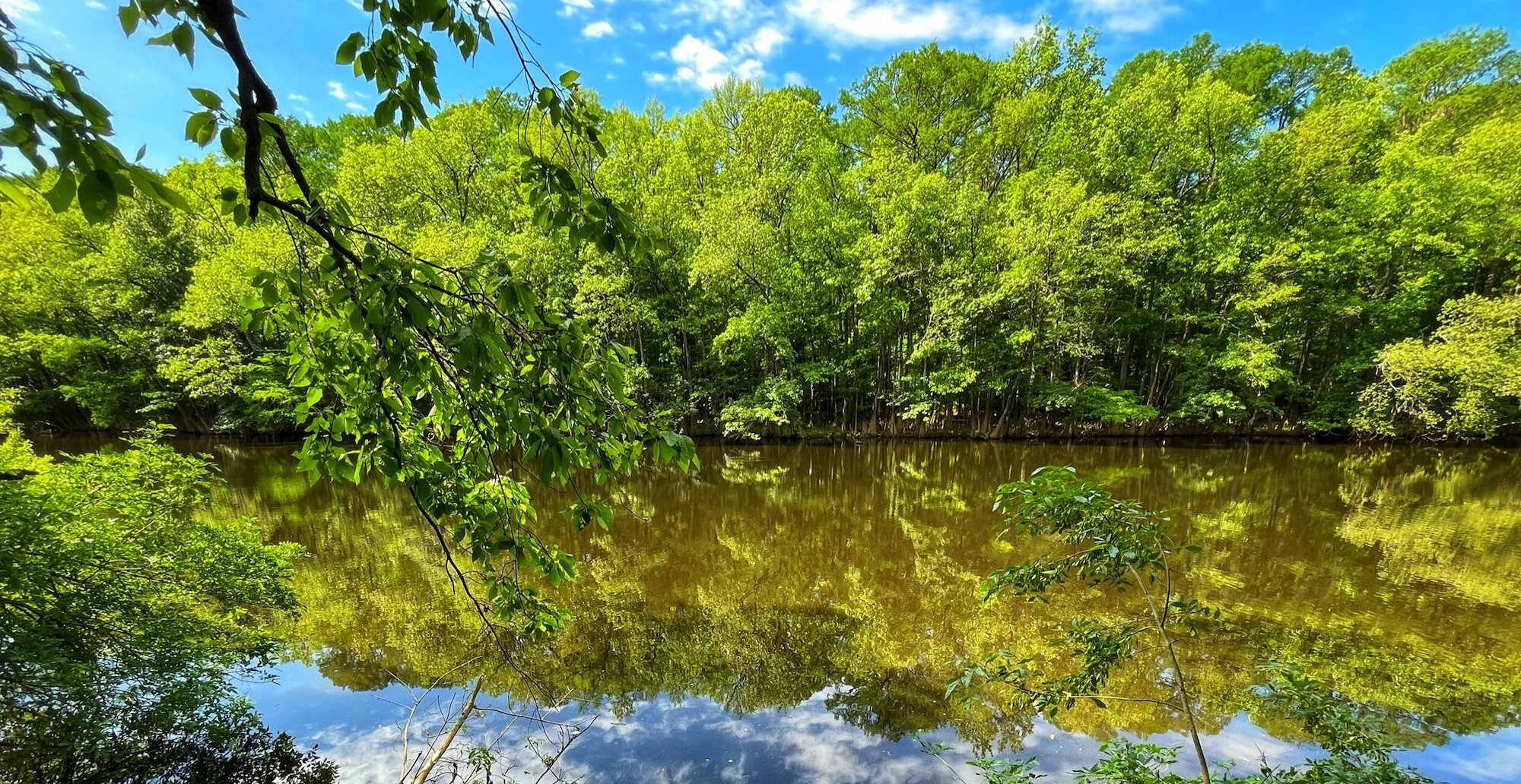
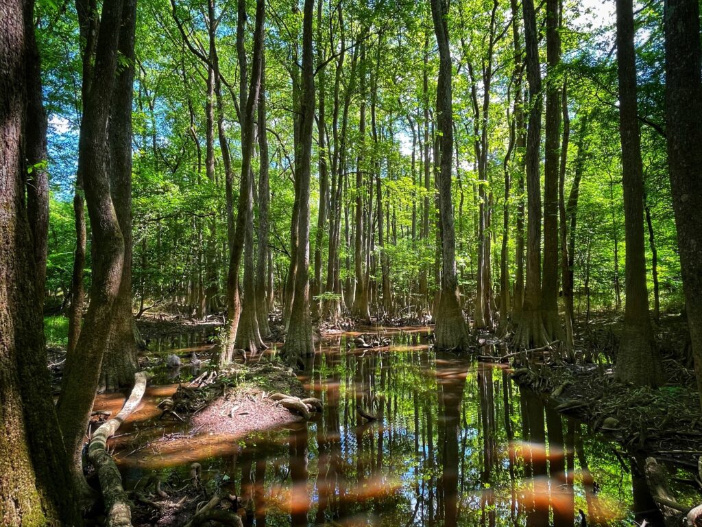
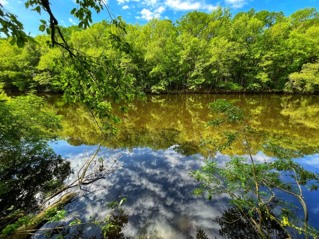
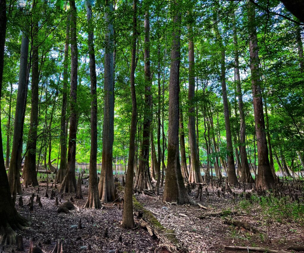
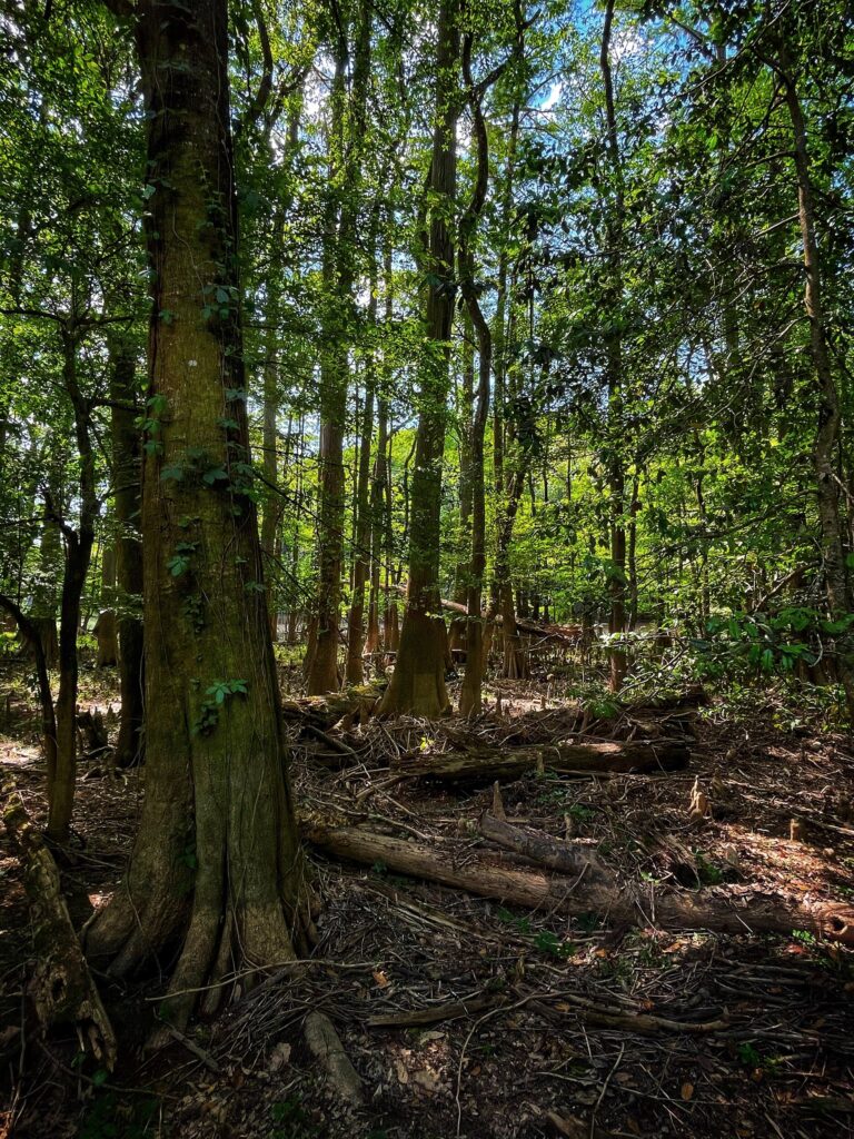
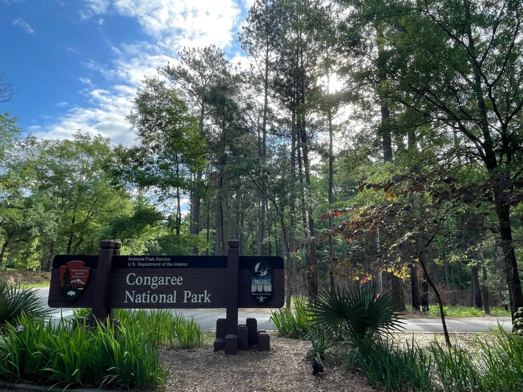
    After hiking around the bottomland forest in Congaree, we headed northwest to Pigeon Forge, Tennessee. This was our basecamp for Great Smoky Mountains National Park. A popular destination for big city dwellers along the east coast, Great Smoky Mountains is the #1 most visited national park. The park reserves a section of the Appalachian Mountain range and straddles the border between Tennessee and North Carolina.

    Sugarlands

    We kicked off our visit by stopping at the Sugarlands Visitor Center which is centrally located on the north side of the park. There is no entry fee here, which probably contributes to the high attendance, but there is a fee for the junior ranger activity book. It’s a small price to pay to feed the curiosity of a four year old with the heart of a conservationist.

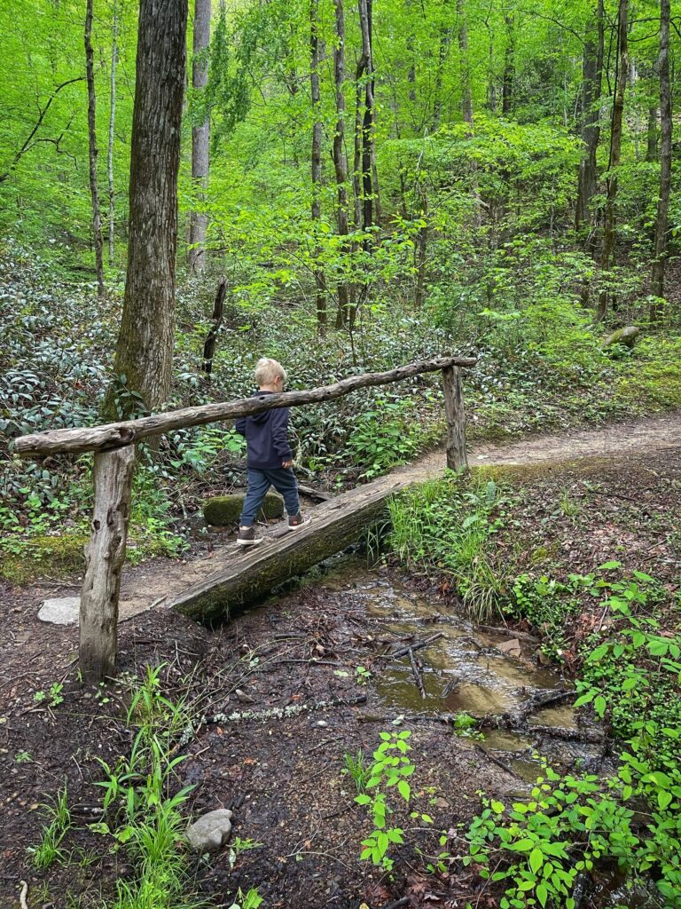
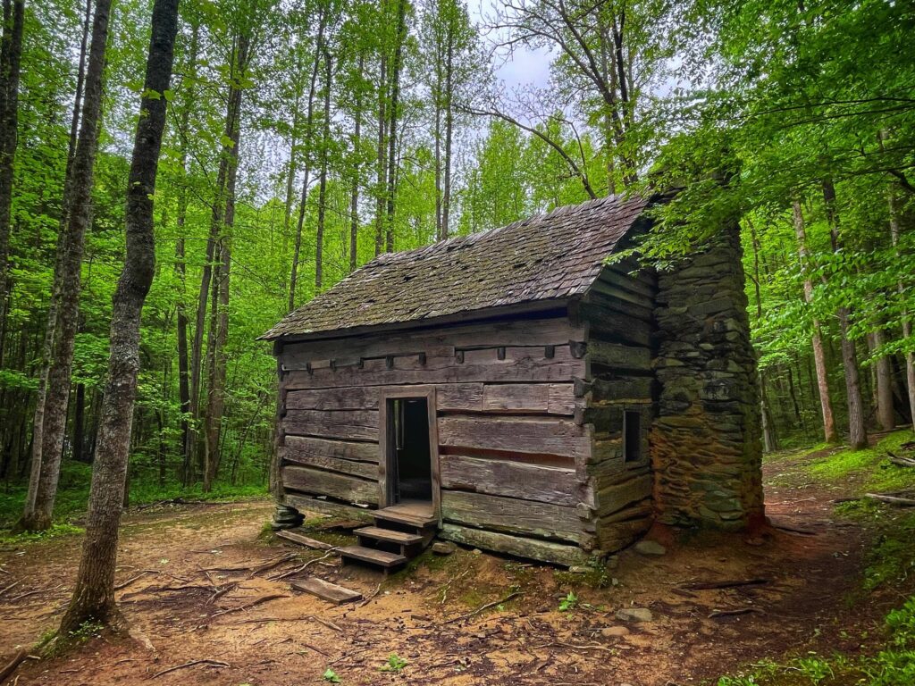
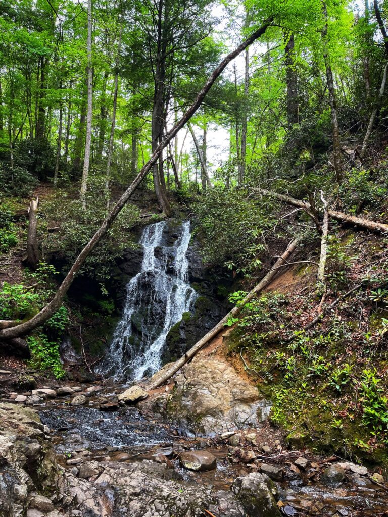
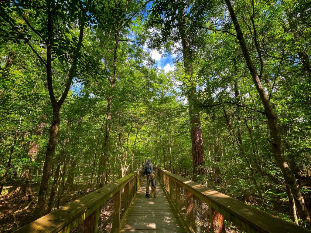
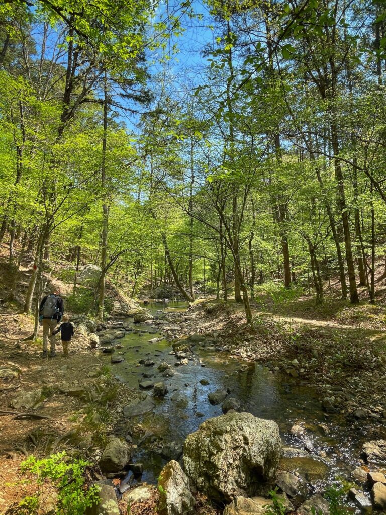
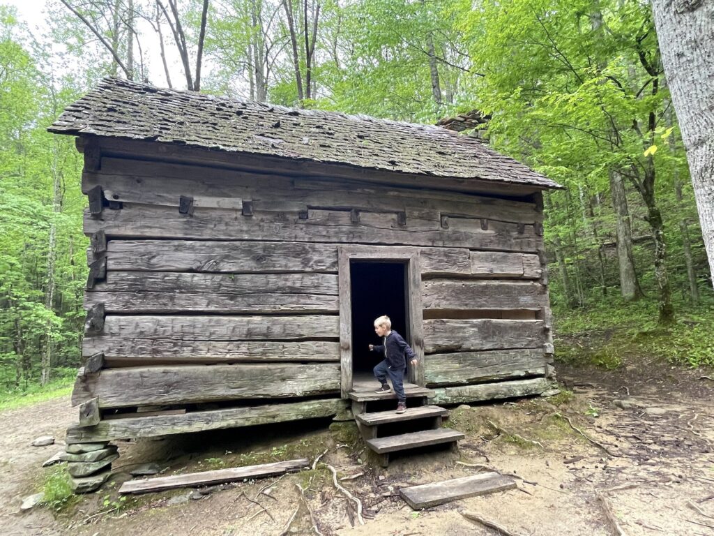
    Next we headed out on the Fighting Creek Nature Trail. This 1.4 mile loop trail departs from the visitor center and meanders through the lush forest, with placards along the way identifying the many types of trees. Owen’s mind was blown learning about the various uses for the different trees in this forest, from making chewing gum to log cabins. At the farpoint of the trail is the John Ownby Cabin, which was fun to explore. We imagined what it must have been like living in a home like that, and in a setting like the Smokies.

    Newfound Gap & Clingmans Dome

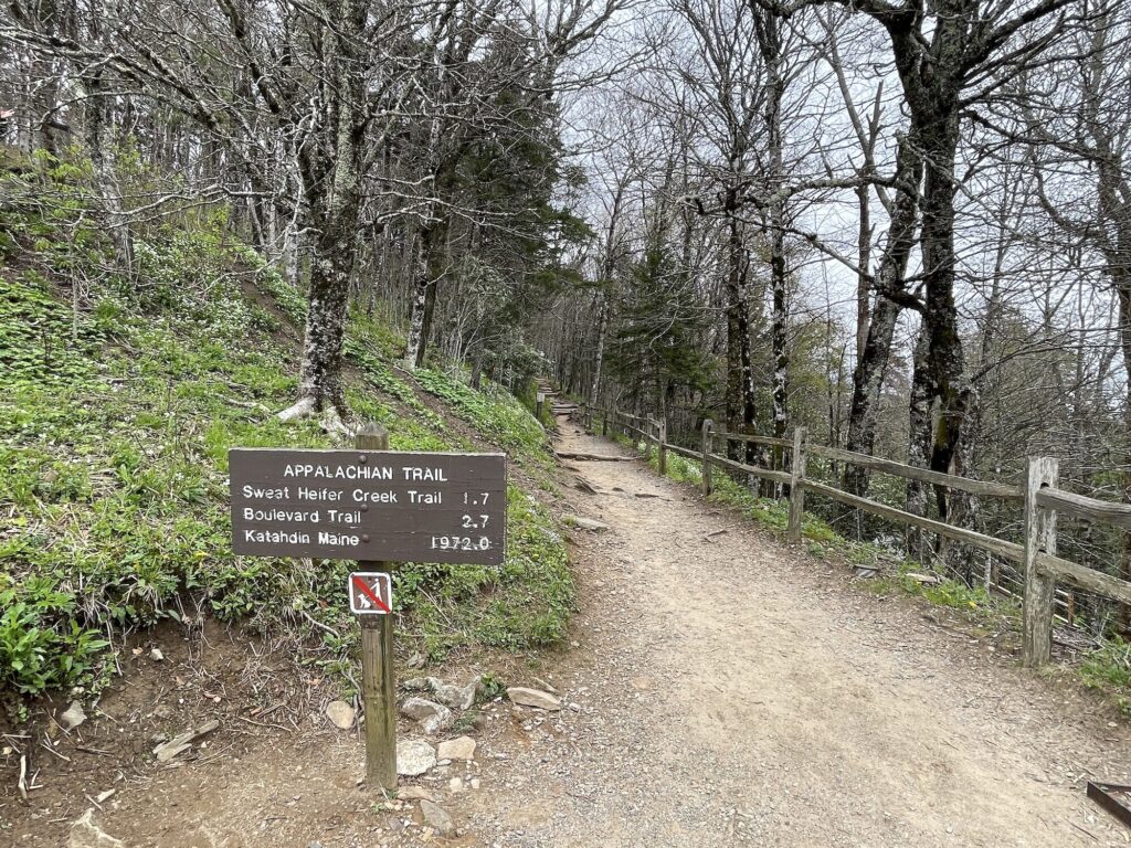
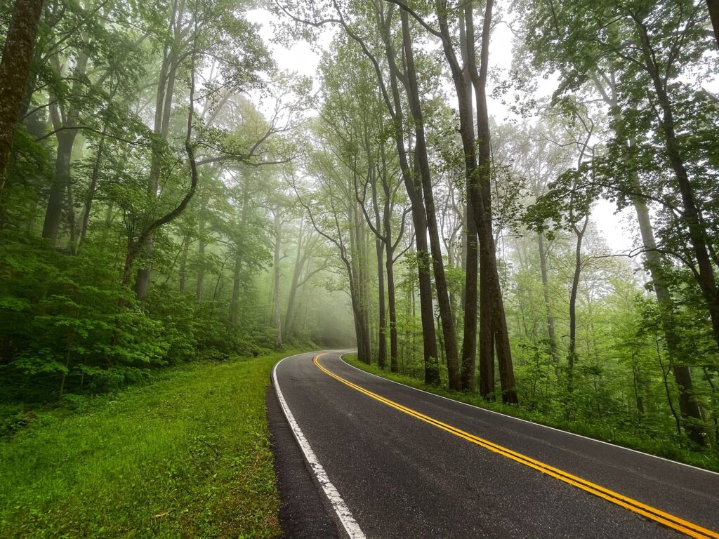
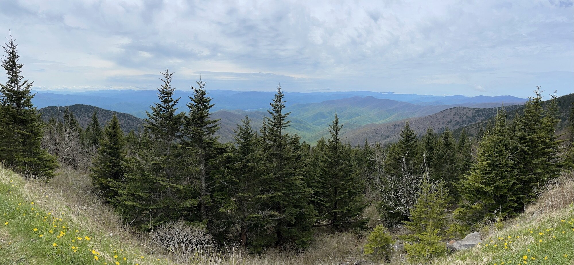
    After our hike, we headed up Newfound Gap Road (US-441) to its namesake Newfound Gap. We had the quintessential Smoky Mountains experience as we drove through rolling banks of fog and low clouds on our way up and into the mountains.

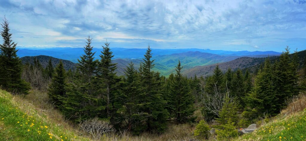
    Newfound Gap offers expansive views of the the mountainous terrain and dense forest. It is also a popular rest stop along the Appalachian Trail. From here we were able to see clearly for miles as we admired the color variations across the expansive forest.

    We continued deeper into the park to visit another popular destination, Clingmans Dome. This is a favorite among visitors and by the time we arrived it was packed full. We were able to take a few minutes to soak in the views and snap a few photos, but didn’t want to brave the large crowds. If I’m being honest, we were pretty tired from a long day already, so we decided to make our way back down to our campsite.

    It’s easy to see why this park is so popular. It has tremendous biodiversity due to it’s range of elevation and variety of ecosystems, and many hiking options to suite all levels. Oh, and no entry fee! The three of us love mountain forests, and while it may not have the jagged peaks of Glacier or Grand Teton, it does have miles and miles of pristine forest. The flip-side of the popularity coin though, is that this park was busy. We left a lot of it unexplored, and next time we would love to check out some of the lesser known destinations.


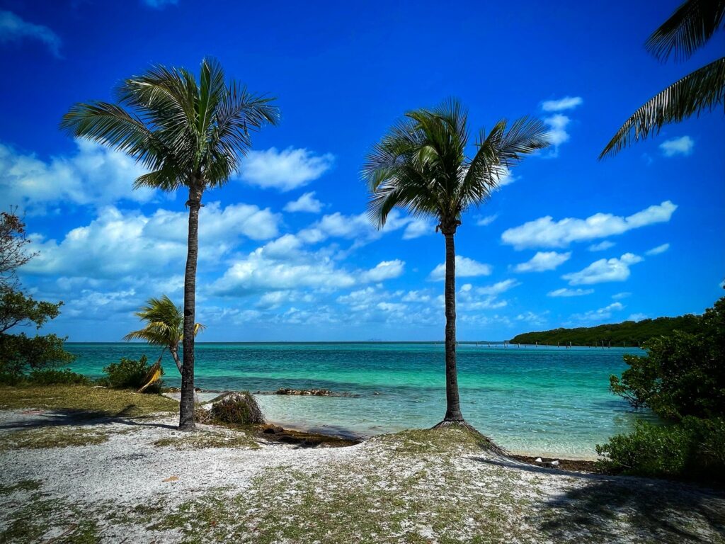
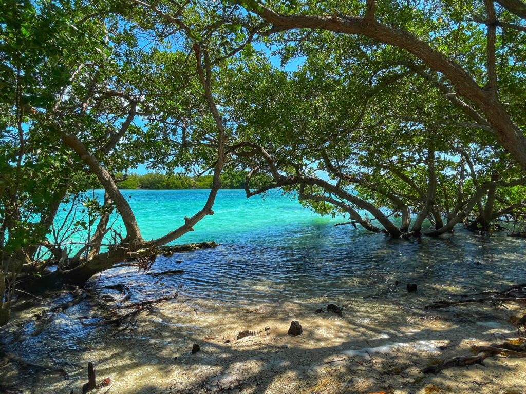
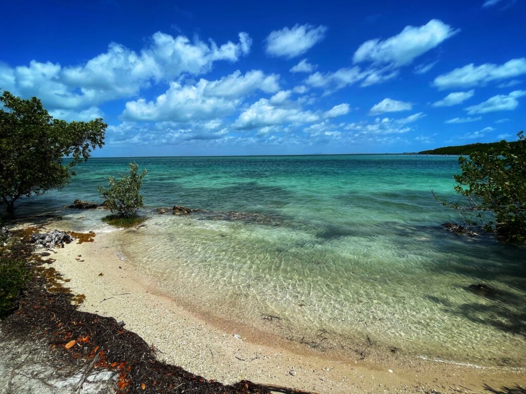
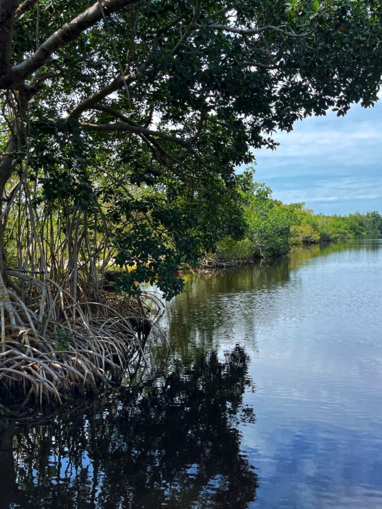
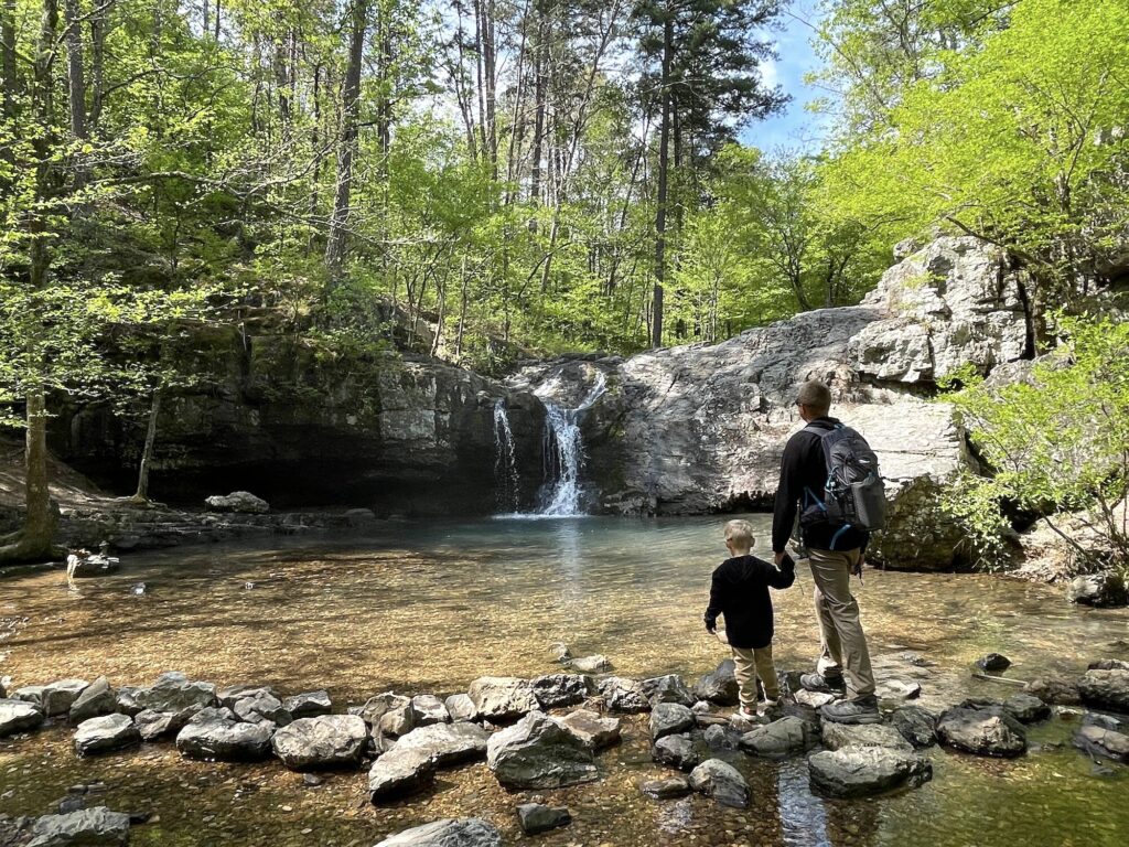
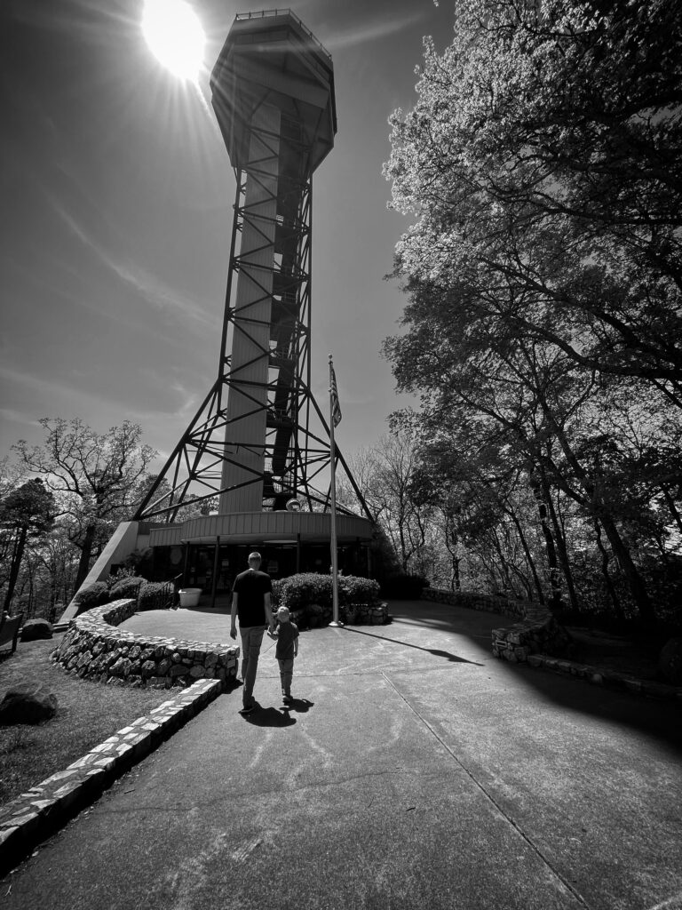
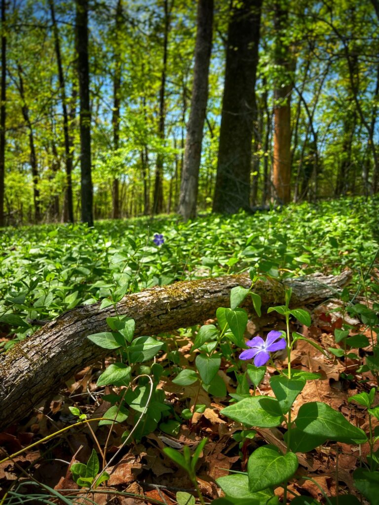
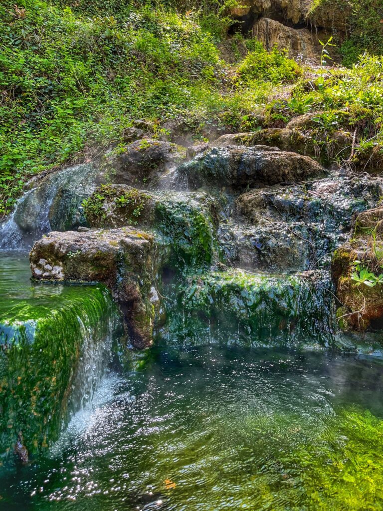
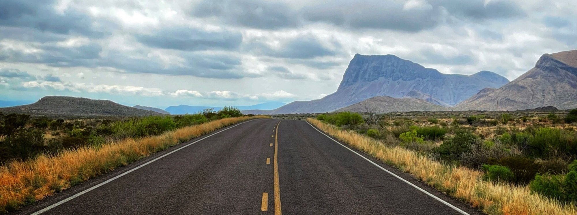
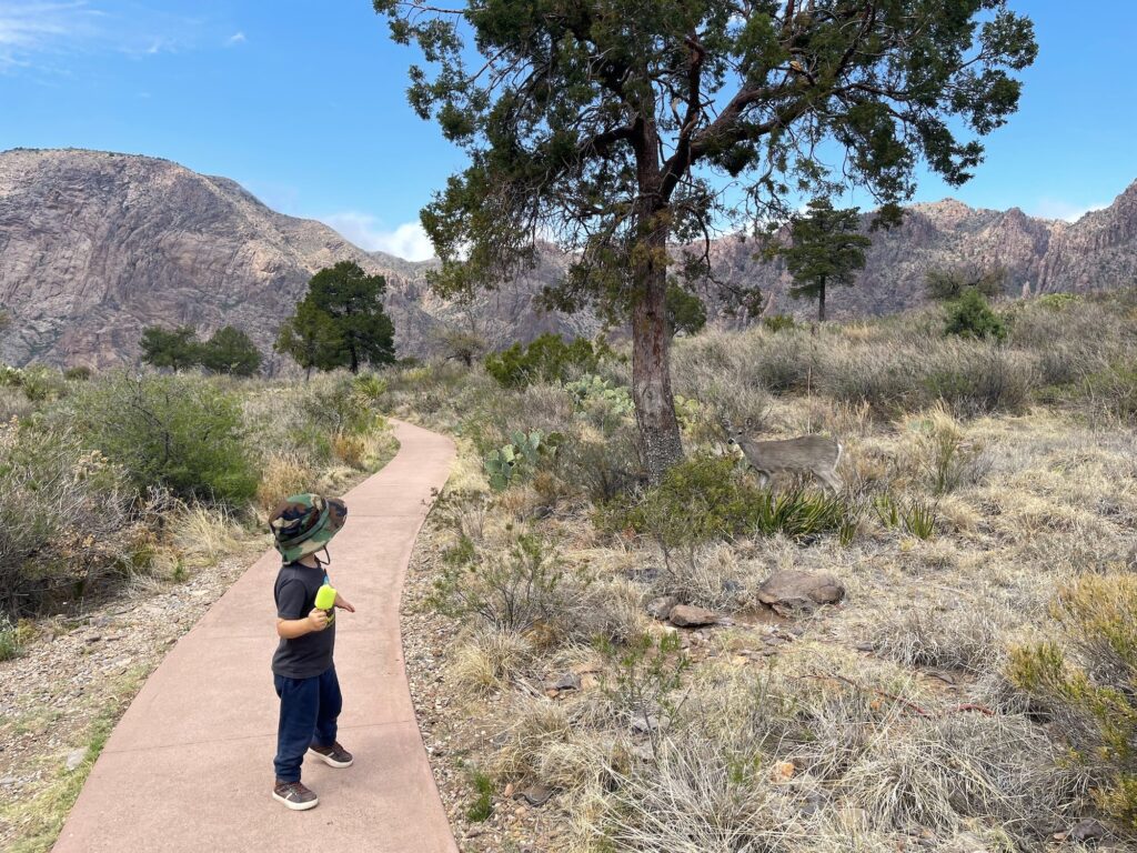
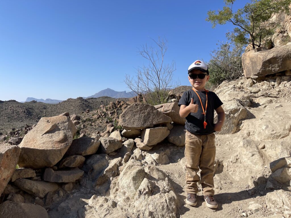
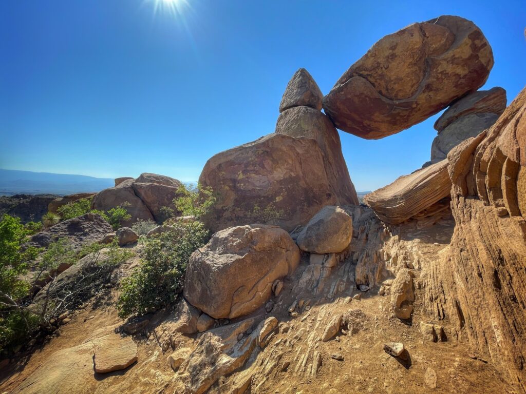
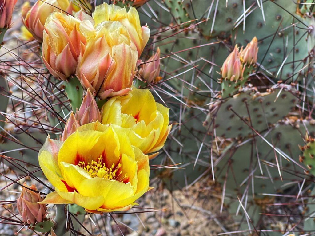
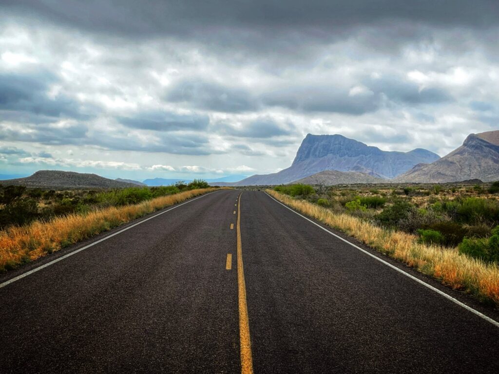
    Great Smoky Mountains Gallery

    Great Smoky Mountains National Park is the #1 most visited National Park in America. We hiked through the woods and drove through banks of fog on our trek up into the “smokies”.

  • Congaree National Park – South Carolina

    Congaree National Park – South Carolina

    Dates we visited: May 6th, 2021
    Where we stayed: Santee Lakes KOA

    After completing our epic adventure to Dry Tortugas National Park, we headed north through Georgia and on into South Carolina to visit Congaree National Park. Kristy found us a great campground set in the woods next to a lake. After a few weeks in the Florida heat and humidity we were relieved to be in a cooler climate.

    The bottomland

    Congaree is known as a “Bottomland” forest. This basically means that it is a forest that exists on a floodplain. Because of this, the park floods frequently, about ten times a year. Depending on the severity of the flood, the various parts of the park may be open or closed on any given day.

    Because of the wet conditions in the area, the mosquitos can be quite bad here. So bad, that the visitor center has a “mosquito meter” prominently displayed at the park entry. The official range goes from “1 – All clear” to “6 – War Zone”. Lucky for us, the park was not flooded, and the mosquito meter was at a manageable 2.5.

    The Boardwalk

    On the scale of National Parks, Congaree is one of the smaller ones. While there are a number of trails, the highlight of the park is the boardwalk trail that starts and ends at the visitor center. Canoe trips are also possible depending on conditions, but for this trip we decided to stick to the boardwalk.

    Congaree is home to a number of “Champion” trees, which are the tallest known specimen of their species. Unfortunately, several of those were lost in the last few years as hurricanes swept through the area. As we traversed the two mile long Boardwalk Loop trail, we were struck by the lushness of the green forest and the diversity of plant life. We didn’t spot much of wildlife, but we did come across quite a few birds, a lizard and a couple of water moccasin snakes sunning themselves on rocks near a pond.

    This park was quiet and the hike was peaceful. We had a pleasant day adventuring here, and really enjoyed the boardwalk trail. If you plan to visit, make sure you check the flood levels, and time it to avoid the “war-zone” level mosquitos!


    Congaree Gallery

    Lucky for us, the “Mosquito Meter” at Congaree National Park was at a tolerable 2.5 out of 6. For the record, the National Park service describes level 6 as a “War Zone”.

  • Dry Tortugas National Park – Florida

    Dry Tortugas National Park – Florida

    Dates we visited: April 29th, 2021
    Where we stayed: Boyd’s Key West

    After visiting Everglades and Biscayne National Parks, we headed down US-1 to the southern tip of Key West. This served as our launchpad to Dry Tortugas National Park , which would finish off our tour of the three parks in Florida. Located about 70 miles offshore from Key West, Dry Tortugas ranks among the least accessible parks in the National Park system. It can only be reached by boat or seaplane. We opted for the seaplane…and it was incredible! Visiting this park was surreal and was easily one of the most memorable experiences of our travels.

    A Seaplane Ride

    Dry Tortugas is about 100 square miles of mostly open water with a few small islands. If you opt for the ferry ride it takes a little over two hours each way. We chose the ~30 minute seaplane ride for a half day excursion in the afternoon.

    The amphibious DHC-3 DeHavilland plane departs via runway from the Key West airport. We visited at the end of April, but it was already hot and humid walking out on the tarmac to board the small plane. Making small talk with the pilot on the walk to the plane, I mentioned my experience as a lapsed private pilot. I was thrilled that he granted me permission to sit in the cockpit “right seat” for the journey out. Kristy and Owen claimed the front two seats in the passenger cabin directly behind the cockpit.

    The flight was incredible, with stunning views of the keys, the water, multiple shipwrecks, and Fort Jefferson at Dry Tortugas. Owen did great on this flight, and was super excited to have his own seat and headset. Our pilot did a fantastic job narrating the sights and pointing out wildlife, such as sea turtles and sharks, that could be seen from our low altitude flight. Make sure to check out the photo album to see some of Kristy’s photos from the flight.

    After a surprisingly smooth ocean landing, and quick procedure to beach the plane, we made our way onto the island just as the ferry full of about a hundred people was leaving. Special thanks to our pilot Kris for the great flight and for taking a nice photo of us!

    Fort Jefferson

    The on-land highlight of the park for us was the historic Fort Jefferson building. Planned as a defense post to guard the gulf of mexico, construction on the fort took place over 30 years. Work progressed between 1846 and 1875, but it was never fully completed. It was an ambitious engineering project at the time. Unfortunately, they soon realized the shifting sands on the island compromised the structure over time. After being decommissioned as a fort, the building was also used as a prison, before eventually being designated a National Monument in 1935 and then a National Park in 1992.

    There are basically no accessibility or safety features in the building, and exploring it required crossing a moat, walking up winding stone staircases, and being careful not to fall out of the windows or off the roof. All three of us were fascinated by the structure and the history of the building, and captivated by the pristine views of the surrounding shallow blue waters.

    After exploring the fort for awhile, we were ready to cool off by snorkeling around the island. Kristy and I were a little hesitant to snorkel with Owen, but it turned out he was a quick study, and he absolutely loved it. We had watched a brief instructional video at the seaplane base, but we didn’t realize Owen had been paying super close attention, and apparently absorbed every last detail. We stayed pretty close to the shore, but the island is renowned as an excellent snorkeling location with many interesting areas to explore.

    Dry Tortugas National park was an experience of a lifetime. We are grateful to have been able to explore this remote location, learn about it’s history, and enjoy an afternoon snorkeling near a pristine beach. All of us had a blast, but Owen especially seemed to revel in the new experiences of flying in a seaplane, visiting a remote island, and snorkeling. If you ever have the opportunity to visit this National Park, don’t let it pass by.


    Dry Tortugas Gallery

    Taking a seaplane to visit the remote Dry Tortugas National Park, 70 miles off the tip of Key West, was one of our favorite experiences of the journey so far. We also found out that Owen is rather skilled at snorkeling.

  • Biscayne National Park – Florida

    Biscayne National Park – Florida

    Dates we visited: Apr 27th 2021
    Where we stayed: Miami Everglades RV Resort

    Biscayne National Park is located on the Atlantic side of the Florida peninsula, just a short hop away from the Everglades. Kristy booked us a great campground with lots of amenities (like a nice pool to cool off in), where we were able to easily get to both Everglades and Biscayne.

    Biscayne is 95% underwater, and is best seen from on, or in, the water, so there wasn’t much in the way of hiking for us on this excursion. We opted for a socially distanced pontoon boat tour across the bay and out to several of the nearby keys (islands).

    On the water

    There are a number of tours and excursions available at Biscayne, from scuba to paddleboarding to boat rides. We opted for the “Heritage of Biscayne” boat tour offered by the Biscayne National Park Institute.

    This was a half day tour that departs from the mainland, cuts across the bay, and passes several of the keys before stopping at one of the islands for exploration / lunch. The boat ride across the bay is speedy by pontoon boat measures, and Owen took great delight in feeling the sea mist hit his face.

    Throughout the journey our guide shared several interesting stories about the history of the area before it became a National Park. There were attempts to commercially develop the beach, bay and islands multiple times before the area was reserved as a national park in 1968. It was interesting to learn about the handful of people who succeeded in fighting to preserve the ecosystem, especially folks like the Jones Family.

    Boca Chita Key

    The key that the tour stops at depends on daily conditions. We were lucky enough to enjoy our lunch in the shadow of the “lighthouse” on Boca Chita Key.

    Boca Chita was once privately owned by Mark Honeywell. Yes the Honeywell of thermostat fame. Apparently, he used the island to host exorbitantly grandiose parties. As the story goes, he started constructing a lighthouse on the island in 1938. When the coast guard caught wind of this they came over to check it out. Then told him, hey, not only are you not allowed to build a lighthouse without our authorization, but you put it on the wrong side of the island, it won’t work to warn ships away. His response was something to the effect of, that’s fine because my intent was to light it up when I throw parties to help my attendees find their way here. The Coast Guard’s retort was, yeah…no…you can build it if you want, but you can never light it up. So that’s what he did.

    In addition to its storied history, apparently this island is also a weekend hotspot for local yacht owners to hang out. Unfortunately, for one reason or another, there was a fair amount of trash on the island. There are intentionally no trash cans on the island, as visitors are expected to pack out their own trash. One of the values we try to instill in Owen is to “leave it better than you found it”, and as such we often carry a few small trash bags with us to pick up any litter we come across in the parks. But on that day, we found ourselves without any spare bags in a place that could have really benefited from a little clean up. Nevertheless, the island was still beautiful and we enjoyed a quiet and peaceful lunch right next to the famed lighthouse before the return trip back to the mainland.

    Biscayne National Park has a ton to offer ocean enthusiasts, and we loved our voyage through the park. If we get the chance to return here in the future, it would be fun to spend some time snorkeling, checking out the reefs, or exploring more of the islands within the park.


    Biscayne Gallery

    Our Biscayne experience included a guided boat tour and a picnic lunch at Boca Chita Key, which we learned was the former private party island of Mark Honeywell.

  • Everglades National Park – Florida

    Everglades National Park – Florida

    Dates we visited: Apr 22nd 2021
    Where we stayed: Miami Everglades RV Resort

    After departing from Hot Springs, Arkansas, we made a few short stops in Louisiana, Mississippi and Alabama before arriving at our excellent campground just outside of Miami to visit Everglades National Park. Everglades is a large park, occupying a good portion of the southern tip of Florida, and it differs in many ways from the parks out west. Most notably it doesn’t have the same immediately striking visual features as places like Yellowstone or Glacier. This park was protected primarily to preserve the ecology of the area. Having spent so much time on the western side of the country, we were amazed at the abundance and diversity of wildlife that we found here.

    Royal Palm

    After a quick stop at the Ernest F. Coe visitor center near the main entrance to the park, we continued on a short distance down Main Park Road to the Royal Palm area. On the recommendation of one of the rangers, we set off on the 1.5 mile Anhinga Trail loop.

    This trail starts off paved, and transitions into a boardwalk over the grassy swamplands. We were quickly taken aback by the amount of wildlife we found on this trail. Exotic and colorful bugs and lizards were in abundant supply. There were also a number of different large and small birds, including the namesake of the trail, the Anhinga. Additionally, we saw turtles and a variety of fish in the water that occasionally popped up to catch a bug. The alligators were the highlight though. We saw between five and ten different gators, some swimming, some lounging partially submerged, and one laid out right across the paved trail. It was wild, and a little scary to see these creatures up close in their natural habitat.

    This trail is popular, and can get busy at peak times, but we only encountered a handful of other visitors. We greatly enjoyed it, and give it a high recommendation for anyone visiting the park.

    Flamingo

    Our next stop was at the far southern end of the park where Main Park Road ends, Flamingo. There is another visitor center here, along with camping, some concessions and a boat launch. Since a lot of the Everglades is best experienced from on the water, we decided to do the Back Country Boat Tour offered by Flamingo Everglades. There was limited seating and masks required due to Covid. This hour and a half long boat tour took us through two canals and eventually out into Whitewater Bay.

    Right off the bat we saw several large crocodiles. Which, by the way, neither Kristy or I realized that gators and crocs can live in such close proximity to each other. As our guide educated us on the various types of mangrove trees and other foliage, we also came across a manatee in the canal, and then a dolphin out in the bay. The boat tour was a great way to experience more of the park, and we were excited to see such a wide variety of wildlife.

    The Everglades is known for being a vast grassy swampland, and it is that, but as we learned, it’s also much more. We hoped we would catch a glimpse of a gator, but we never dreamed we would see both alligators and crocodiles in abundance, and some just 15-20 feet away from us. The manatees and dolphins were also a nice surprise. We enjoyed this park more than we expected, even if it was a bit hot and humid. We’re just glad we made it here in April, as the Florida heat might have been too much for us in the summertime!


    Everglades Gallery

    Lizards, alligators, crocodiles, manatees, dolphins and more! The Everglades caught us off-guard with its abundance of wildlife, and we had a blast exploring this park on foot and by boat.

  • Hot Springs National Park – Arkansas

    Hot Springs National Park – Arkansas

    Dates we visited: Apr 11th – Apr 15th 2021
    Where we stayed: Hot Springs KOA

    After experiencing a whole lot of desert across the southwest, we were excited to return to a part of the country that was a bit more green. Hot Springs National Park in Arkansas definitely fit the bill. It was surprisingly reminiscent of our home state of Minnesota. This was the first park we visited that was set in a city. Or, more accurately, the city grew up around the hot springs. Our campground was just a few minutes from the downtown area of the city of Hot Springs, as well as the main entrance to the park.

    Bathhouse Row

    There is a ton of history in this park, and “Bathhouse Row” contains a lot of it. The springs have existed here for thousands of years, but over time, they were “capped” and the water routed to various buildings and “bathhouses”. For a time, people from around the world flocked to these bathhouses to undergo a spa experience with the reportedly “healing waters” of the hot springs.

    Geologically, the water emanating from the springs mostly fell as rain water roughly 4,000 years ago, then found its way deep underground, where it was heated, and then eventually rose back to the surface. While the National Park service does not certify any healing properties of the water, it does certify it as safe to drink, and encourages visitors to do so.

    There are a number of free “jug filling stations” in and around the park, and while we didn’t partake in a spa experience this time, we did fill up a few jugs. I haven’t experienced any unusual curative properties from drinking it as of yet, but it was pretty good tasting water, and it made a fine cup of coffee!

    Lake Catherine State Park

    After experiencing Hot Springs National Park, we decided to make a day-trip a few miles southeast for a hiking excursion to Lake Catherine State Park. We completed the 1.6 mile Falls Branch Trail, of which the highlight is the waterfall about 3/4 of the way around the loop trail. Owen had fun hopping from rock to rock across the shallow river…until he missed one and ended up with soaking wet shoes and pants. And then I had fun carrying him on my shoulders the remaining quarter mile or so. He is getting big quickly though, so that may not be an option for much longer!

    This was a fun hike, with many bridges criss-crossing the river, including one recently repaired suspension bridge. If you are visiting Hot Springs, and looking for a hike that is a bit more remote than those found in the national park, this is a great option.

    Hot Springs was unique amongst the national parks that we have visited in many ways. Perhaps most notably, the use and taking of its resources (the spring water), is not only permitted, but encourage. It’s city setting offered conveniences that were a far cry from our experience at Big Bend, but we also had to remind Owen to watch out for traffic on the busy street in front of the visitor center. Life is full of trade-offs. In the future we would like to return here to get the full Hot Springs Spa experience.


    Hot Springs Gallery

    Four thousand years ago rain fell to the earth, seeped into the ground, got heated up, and eventually rose back up to the surface. And then we drank it as coffee, and it was delicious.

  • Big Bend National Park – Texas

    Big Bend National Park – Texas

    Dates we visited: Apr 3rd – Apr 5th 2021
    Where we stayed: Stillwell Store & RV Park

    As we made our way east after Carlsbad Caverns and Guadalupe Mountains, our next stop was Big Bend National Park. Kristy found us a campground just six miles down the road from the north entrance to the park near the Persimmon Gap visitor center. The Stillwell RV Park was no frills, but they had full hookups, a friendly staff and a clean campground. If you are considering a trip to Big Bend, you should know the park is remote, and this campground in particular is pretty far from civilization. The closest town is Marathon, TX, which is 45 miles away and has a population of 386. They do have a gas station there though!

    The Rio Grande to The Chisos Mountains

    Big Bend National Park is large at over 1,200 square miles. We made two day-trips in, to two different areas of the park. The first day we headed south from Persimmon Gap down towards the Rio Grande Village and Boquillas Canyon area. But first, we stopped at the Fossil Discovery Exhibit. This most excellent exhibit features fossils of the various dinosaurs that have been found in the area of the park. Ranging from Tyrannosaurus to Pteranodons, Owen loved exploring this informational outdoor exhibit.

    The southern edge of the park is the Rio Grande River, which is also the border with Mexico. From the Boquillas Canyon overlook, we were able to catch a glimpse across the river of the small town of Boquillas del Carmen in Mexico. The river was quite low when we were here, so we decided to cut this leg of the excursion a little short and make our way back out.

    Next, we headed back north and west through Panther Junction and up into the Chisos Mountains. This drive couldn’t have been more different than the drive in the morning. Transitioning from flat desert into rugged mountains, the Chisos Mountains surprised us all. Turns out they are the only mountain range that is completely contained within a National Park, and they are striking. At the top, we completed the short Window View Trail, which showcases an expansive view back down into the flatlands.

    Balanced Rock

    Day two started out with an early, morning trip into the park with the goal of hiking to Balanced Rock. We got on the road at about 7:45 for what we thought would be about an hour and fifteen minute drive to the trailhead. As we entered the park we were greeted with a dense fog that limited visibility to a few hundred feet. As we approached Panther Junction, the fog cleared up and we turned onto Grapevine Spring Road. We knew this was a dirt road, but it was a bit more rough and washboard’y than we expected. We finally reached the trailhead just a little before 10am.

    The drive was worth it though, as the 1.9 mile round trip Balanced Rock Trail was one of the most fun hikes we have done in months. Owen absolutely loved scrambling up the rocks in the final section of the trail. It was hotter than we expected on the trail, but we found a few shady spots, that after clearing for snakes, served nicely as water break stops.

    The reward at the end of the trail is a rock formation consisting of three boulders, with one precariously balanced atop the other two. We’re glad we braved the washboard road to complete this hike as it was the highlight of our visit to Big Bend.

    One thing we missed on this trip, that we would love to see next time, is the Santa Elena Canyon in the southwestern corner of the park. Nonetheless, with its several dramatically different landscapes, and it’s wide assortment of both wildlife and vegetation, we cherished our time here.


    Big Bend Gallery

    Big Bend is described as one of the most remote and least visited parks in the lower 48…we can attest to that. Our isolated campground had full hookups, and wifi good enough to write this blog post, but no cell service. The closest city was 45 miles away. It was awesome.

  • Guadalupe Mountains National Park – Texas

    Guadalupe Mountains National Park – Texas

    Dates we visited: March 30th – April 3rd
    Where we stayed: Carlsbad KOA

    Right next door to Carlsbad Caverns, and across the New Mexico / Texas border is Guadalupe Mountains National Park. This lesser known park shares much of the same terrain as Carlsbad, but offers more of a focus on the above-ground landscape. Millions of years ago, a gigantic reef formed when this area was all underwater. As plate tectonics did their thing, the mountains rose, the water disappeared, and now it’s possible to find fossils of sea shells in this desert that sits between 5,000 and 8,000 feet of elevation.

    Our Visit

    While the land area of this park is relatively large at 135 square miles, there are not a lot of options for driving through it. There is not a “scenic drive” to speak of, but the area does have a multitude of hiking trails. The trails weave their way throughout the mountains.

    Our first stop was at the Pine Springs Visitor Center, where we checked in to get Owen his Junior Ranger materials, and then completed a short hike out to The Pinery Butterfield Stage Station Ruins. This spot was briefly a stop on a stagecoach route that delivered mail back in the 1850’s, and we were able to see what’s left of buildings here.

    Variety

    One of the things that makes Guadalupe Mountains interesting is that it straddles a few different ecological boundaries. Parts of the park showcase the desert ecology of the area, while other sections offer a more mountainous ecosystem. We took a drive up to the McKittrick Canyon Visitor Center which is the launching point for several trails that wind up through the canyon. The trails here were a bit more strenuous than we wanted to tackle on our visit, but this area looks beautiful, and i’d imagine even more so in the fall time.

    As one of the lesser visited National Parks, Guadalupe Mountains offers a more intimate experience. There were fewer visitors than the more well known parks, and plenty of great trails. This would be a great location for us to come back to and camp inside the park in the future. Additionally, it’s proximity to Carlsbad Caverns makes it a nice destination to be able to experience the area from a few different perspectives.


    Guadalupe Mountains Gallery

    This park is Carlsbad Caverns lesser known nextdoor neighbor. Just a few miles down the road, and across the border into Texas, Guadalupe Mountains offers an above-ground and high-elevation perspective of the area. Roads are in short supply, but hiking trails are abundant!

  • Carlsbad Caverns National Park – New Mexico

    Carlsbad Caverns National Park – New Mexico

    Dates we visited: March 30th – April 3rd
    Where we stayed: Carlsbad KOA

    Carlsbad Caverns National Park sits in the southeastern corner of New Mexico, just above the border of Texas. Having just visited White Sands National Park, we took the southern route from Las Cruces, down through El Paso, and then back up to Carlsbad. This caused us to go from the mountain time zone, into the central time zone, and then back to mountain. There’s nothing particularly interesting about that, except that we didn’t register it at the time and it took us a full day to realize we were living life off by one hour. Time zones are hard.

    While this park offers much more than it’s namesake caverns, the trek underground is pretty much the main event. When we visited Wind Cave National Park last year, we were unable to enter the caves due to covid restrictions. But Carlsbad was open, with with some appropriate safety precautions. Most notably, masks, and an advanced reservation were required to enter the caverns.

    The Hike Down

    We made a 9:30am reservation to enter via the “Natural Entrance” route. This route involves a 1.25 mile hike down 750 feet (the equivalent of a 75 story building). We had a blast on this route, and Owen walked about 95% of it on his own. The journey down is surreal and other-worldly, with plenty of spots to pause, take a break, and soak in the somewhat ominous surroundings.

    Kristy has a bit of claustrophobia, so she was a little nervous about this park. Most of the route is very large and open though, and there were only a few spots where she said she was uncomfortable. We were able to quickly move past those passages into more open spaces.

    While it is allowable to hike back up the trail (the one that is equivalent to a 75 story building…), we chose to take the elevator ride back to the visitor center. There is also an option to ride the elevator down, rather than hike down, if that is more appealing to you. If you do that, it will drop you into the “Big Room” which has a mile long route of its own, and is much more level terrain. It’s a great option if you want to save time, or are not interested or able, to complete the somewhat strenuous hike down.

    The Caverns

    What is generally referred to as the “Caverns” is actually one huge system of interconnected rooms and passages. As we worked our way down and through the system I was awestruck by the thought of what it must have been like for early explorers in the 1910’s to spelunk through the caves without knowing what was around the next corner. There are numerous pits and passages, not too mention rooms of both small and massive scale.

    The whole system is filled with stalactites, stalagmites, flowrock, and other rock formations unique to the cave ecosystem. Some of these formations are millions of years in the making. As you hear the slow dripping of water throughout the cave, it’s difficult to wrap one’s mind around the geologic time scale of the formation of these caverns.

    Carlsbad Caverns was a great experience for all three of us. Owen was fascinated by the entire affair, and he took his Junior Ranger responsibilities very seriously by continuously reminding us to speak only in whispers while underground. If you can bring yourself to overcome the natural human aversion to journeying deep underground, and staying there for several hours, don’t miss this fantastic National Park.


    Carlsbad Caverns Gallery

    How does a 1.25 mile hike down 750 feet into the earth on a slippery and dimly lit trail sound to you? Well it sounded like fun to us, so that’s what we did to check out Carlsbad Caverns National Park. The hike was totally worth it though, the caverns were other-worldly.

  • White Sands National Park – New Mexico

    White Sands National Park – New Mexico

    Dates we visited: March 26th – March 30th 2021
    Where we stayed: Las Cruces KOA

    About 45 minutes northeast of Las Cruces, New Mexico is one of the newest National Parks, White Sands. It was upgraded from a National Monument to a National Park in 2019. The park sits inside of the White Sands Missile Range military installation, which makes for some interesting travel planning. Most notably the only access road into the park is occasionally closed due to missile tests. Luckily, these are usually scheduled a few weeks in advance, and it was not a problem for us to plan around them using the schedule on the park website.

    Dunes

    As you might imagine, this park is named for what it is, a place filled with white sand. Sand dunes are already relatively rare and dunes like these, with sand made from gypsum, are even more unusual. The dunes vary in height around the park, but the tallest are around 60 feet, making them quite accessible to climbing. Most of the sand is very soft, so much so that we all decided to go barefoot within a few minutes of arriving. Owen will attest to the fact that hiking these dunes barefoot is no problem, and rather fun!

    Exploration

    The park itself is quite large, as there are 275 square miles of dunes, totalling over 4.5 billion tons of gypsum sand according to the park service. However, there is only one road in the park. The loop road starts at the visitor center and is just a couple of miles long. It is paved for the first half and unpaved, hard-packed sand for the second half. It is easily traversable in most any vehicle and there are plenty of pull-offs and parking areas. One of the best things about this park is that open exploration, and even sledding, is allowed in the dunefield. You just have to stay clear of any vegetation.

    Owen, as well as Kristy and I, absolutley loved hiking out to a random dune and frollicking in the sand. Owen spent most of the afternoon pretending that the sand was snow, which at first glance, it definitely resembles. Making “snow” angels and burying Kristy in the were some of the highlights. It’s good to see that the kid hasn’t forgotten his Minnesota roots!

    While all of Kristy’s photos are spectacular, she really got some great shots at this park. Don’t forget to head over to the photo album to check them out! We really enjoyed this park, and if you have children this one is an especially good destination. Just be prepared to clean sand out of, well, everywhere and everything for the next week. It’s totally worth it though 🙂


    One of our favorite parks so far, we had a blast romping around the dunes, making “snow” angels, and rolling down the hills. You’re not supposed to take any sand with you when you leave…but we were cleaning it out of, well everywhere, for the next week.