Dates we visited: October 10th 2020
Where we stayed: Duke’s Slickrock Campground
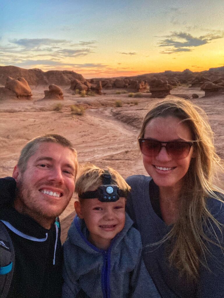
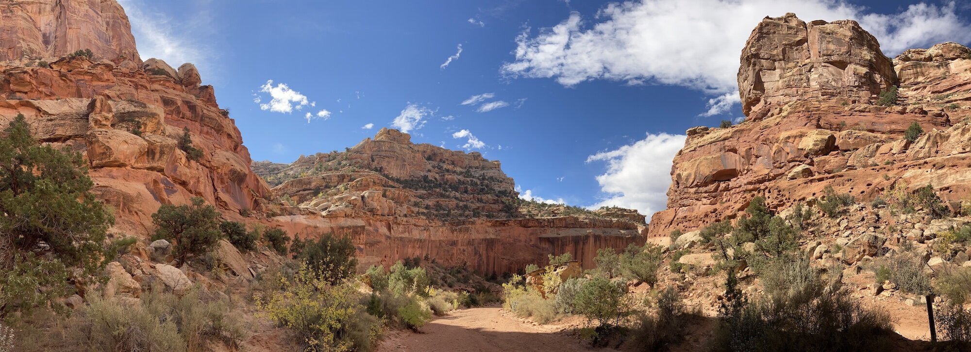
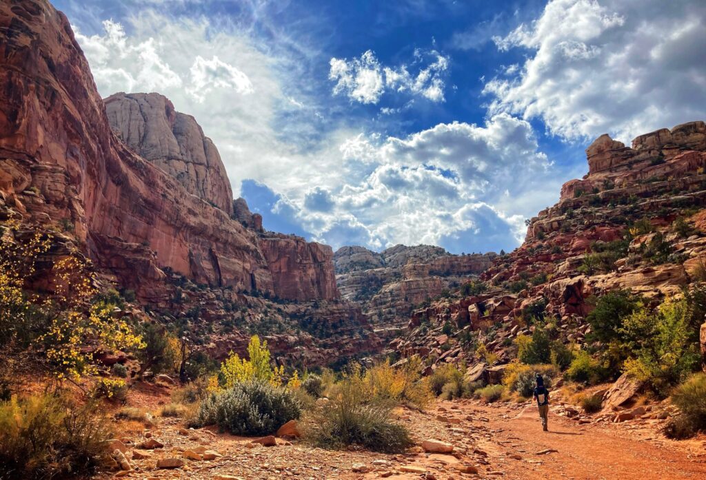
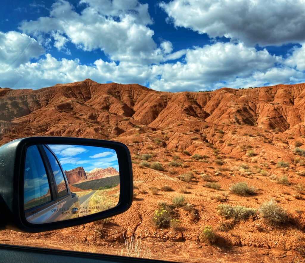
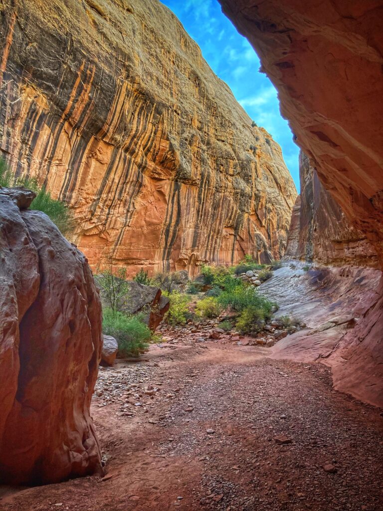
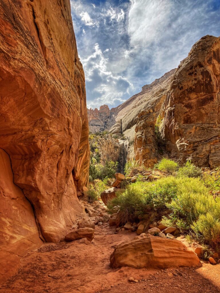
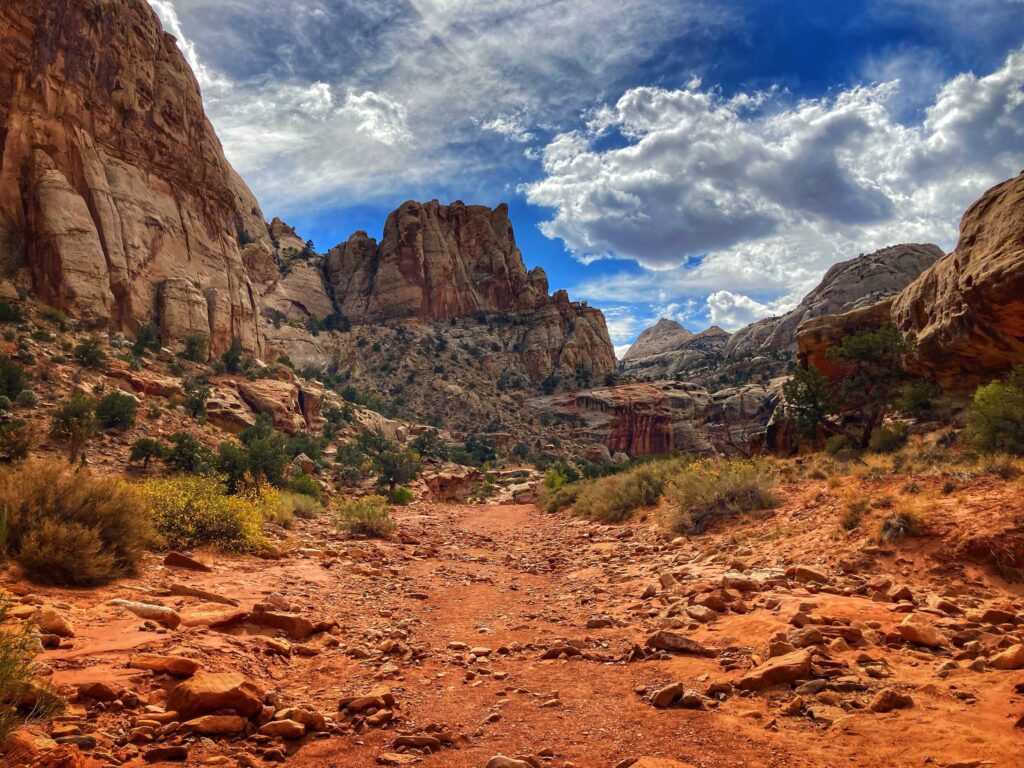
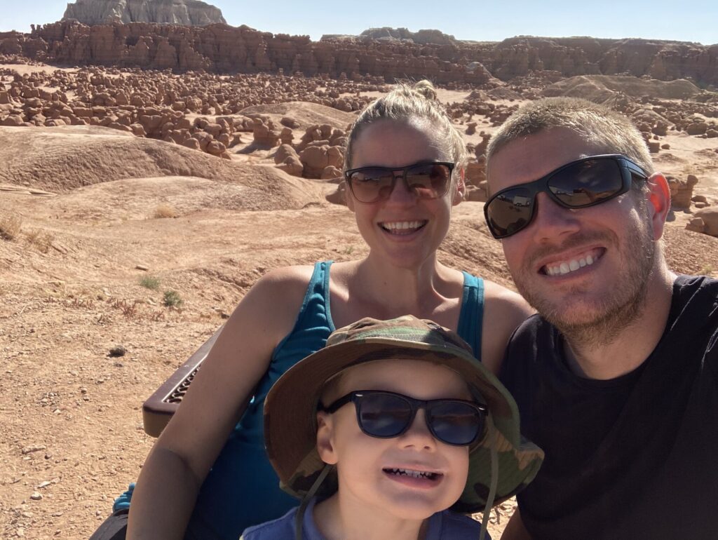
After visiting the first three of Utah’s “Mighty 5” National parks (Zion, Bryce Canyon & Capitol Reef) we took a slight detour so that we could check out Goblin Valley State Park. Goblin Valley was recommended to us by multiple people, so we figured we better see what it was all about. We want to extend our thanks to those that made that recommendation, because we loved this state park, and returned to it several times over the course of a few days!
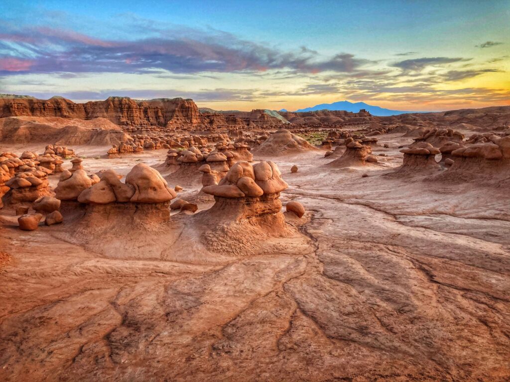
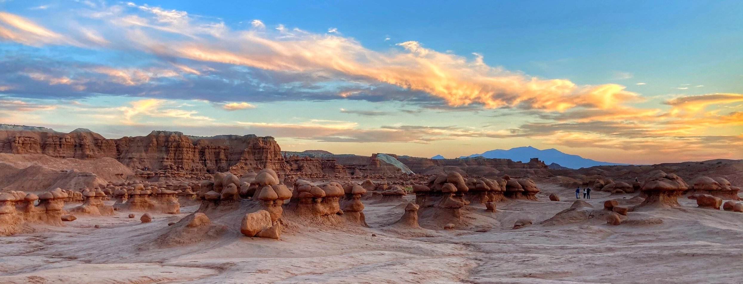
So many hoodoos
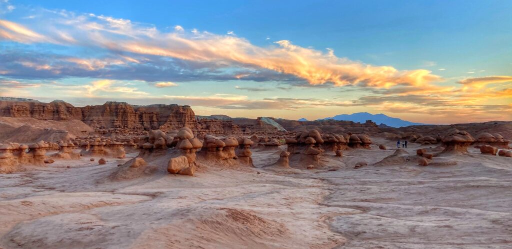
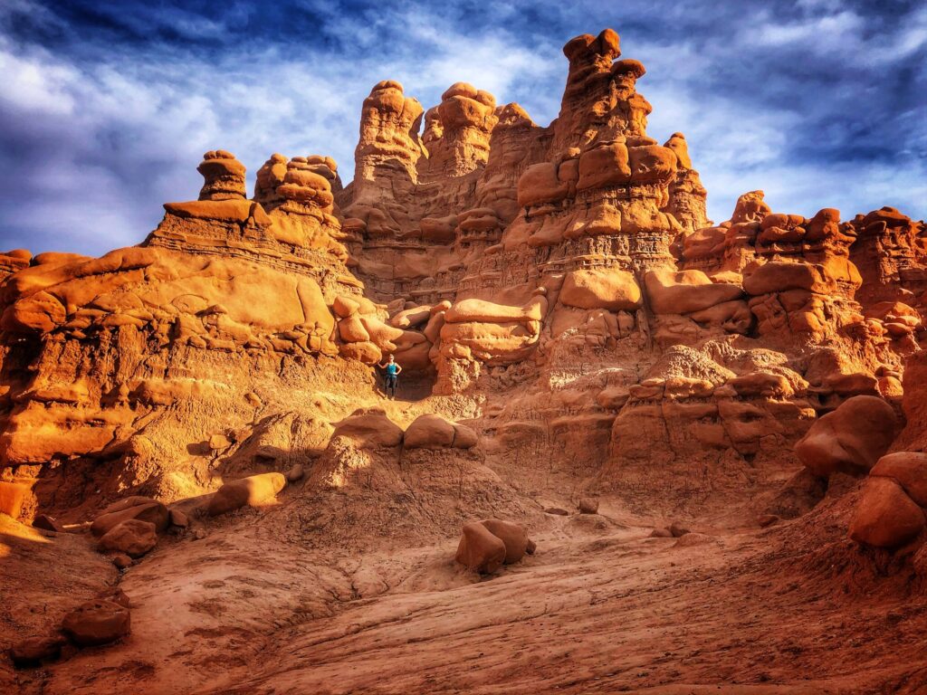
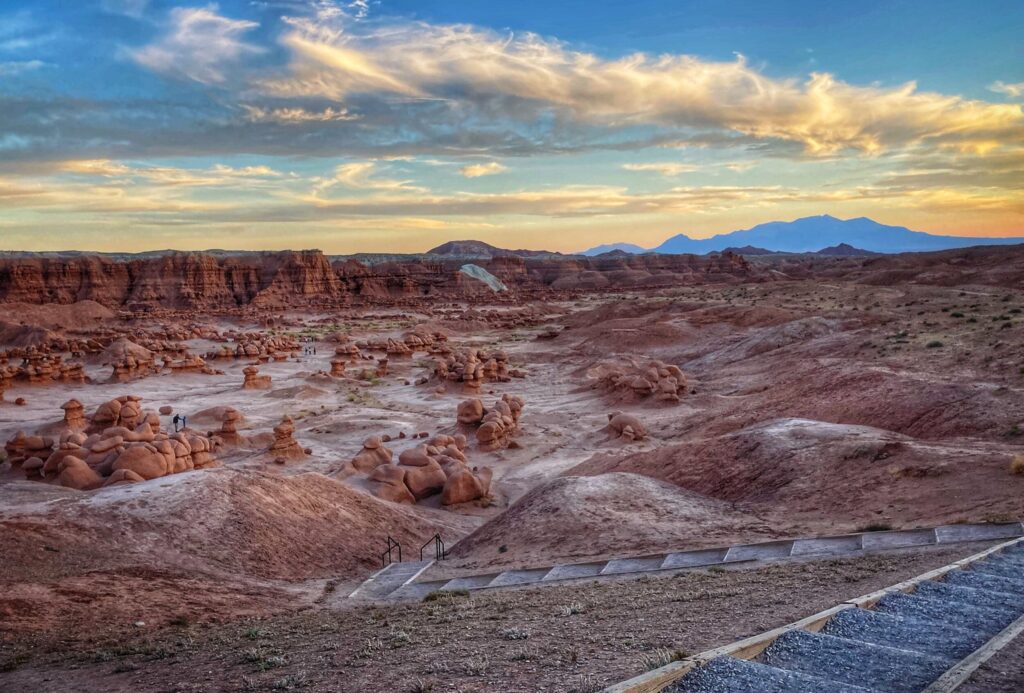
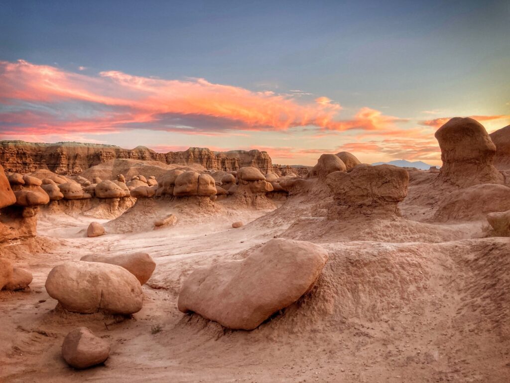
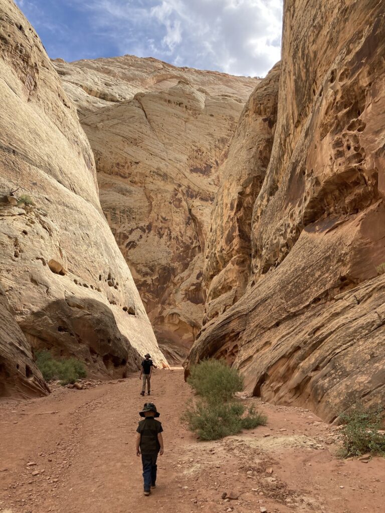
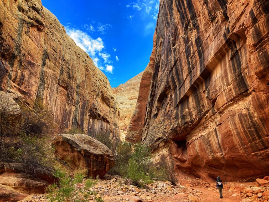
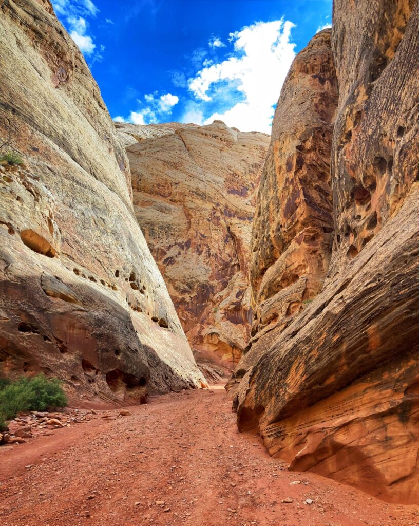
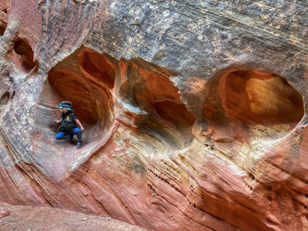
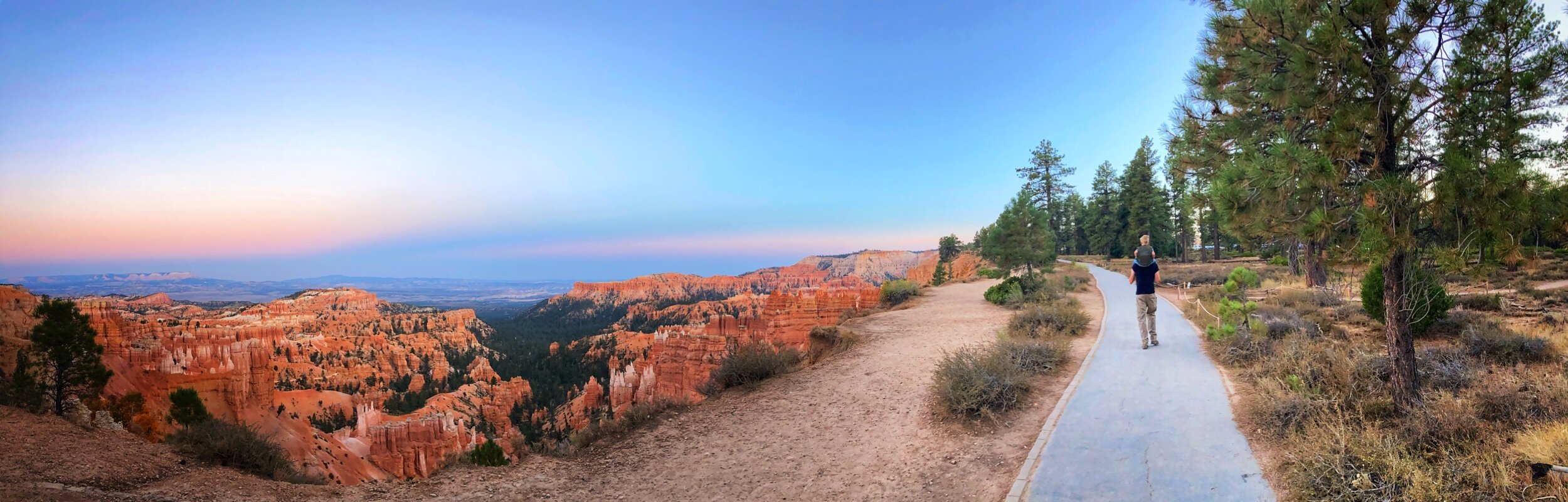
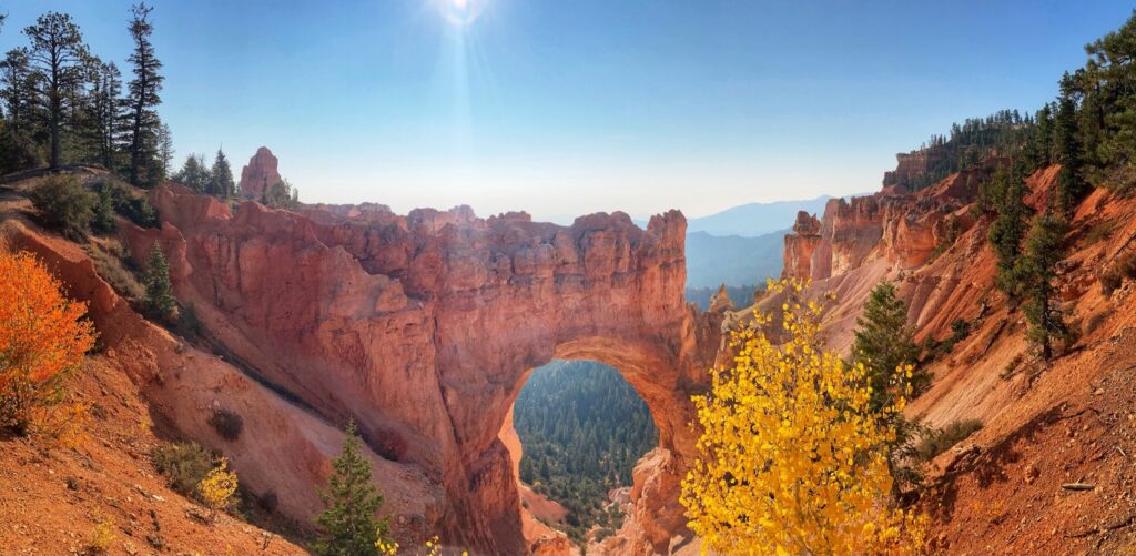
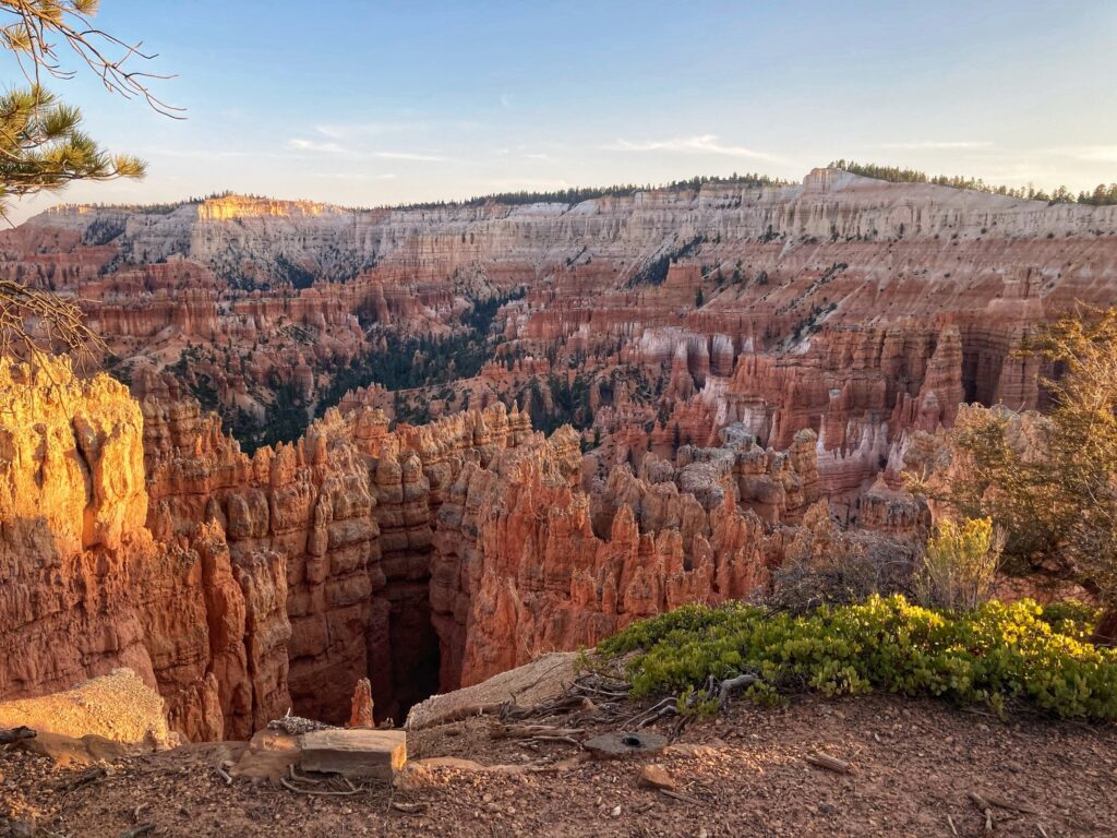
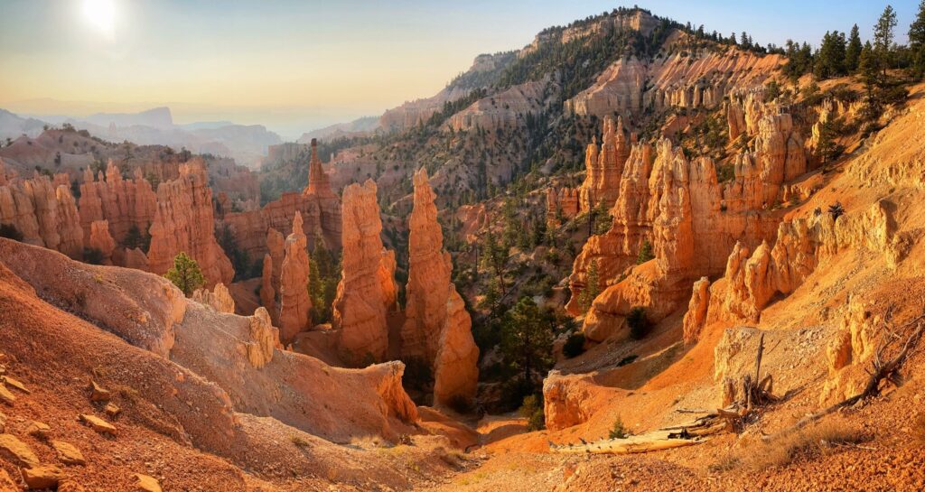
We caught our first glimpse of the geologic phenomenon known as a hoodoo at Bryce Canyon. The hoodoos there were grand in scale, and interesting to experience from a multitude of overlooks…but Goblin Valley was an entirely different experience. Imagine a valley filled with hoodoo rock formations of every possible shape and size. Now imagine that there are no trails, and you just go out, explore, and climb around on those rocks…that’s basically Goblin Valley.
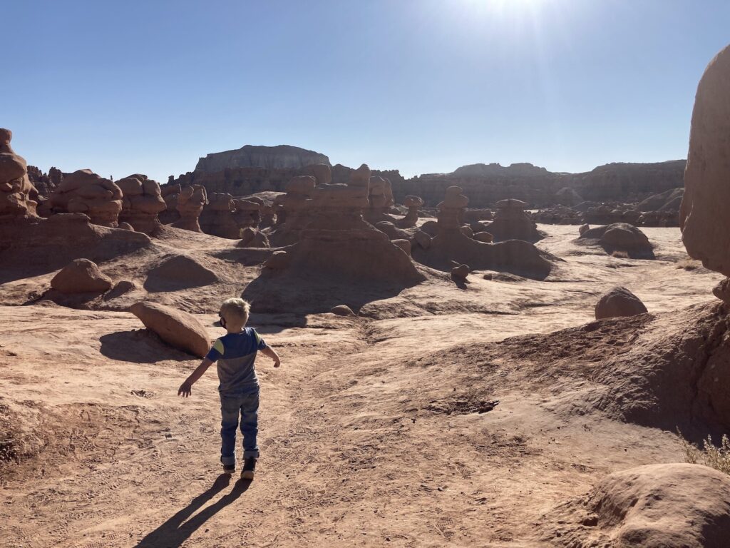
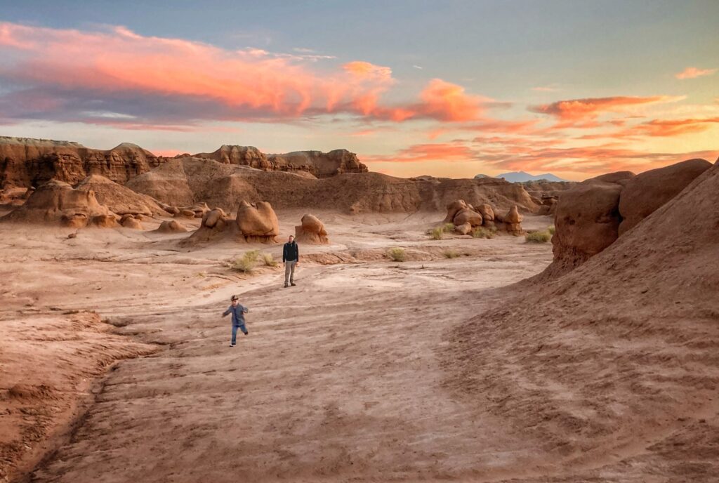
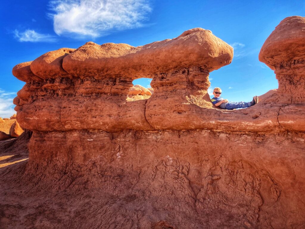
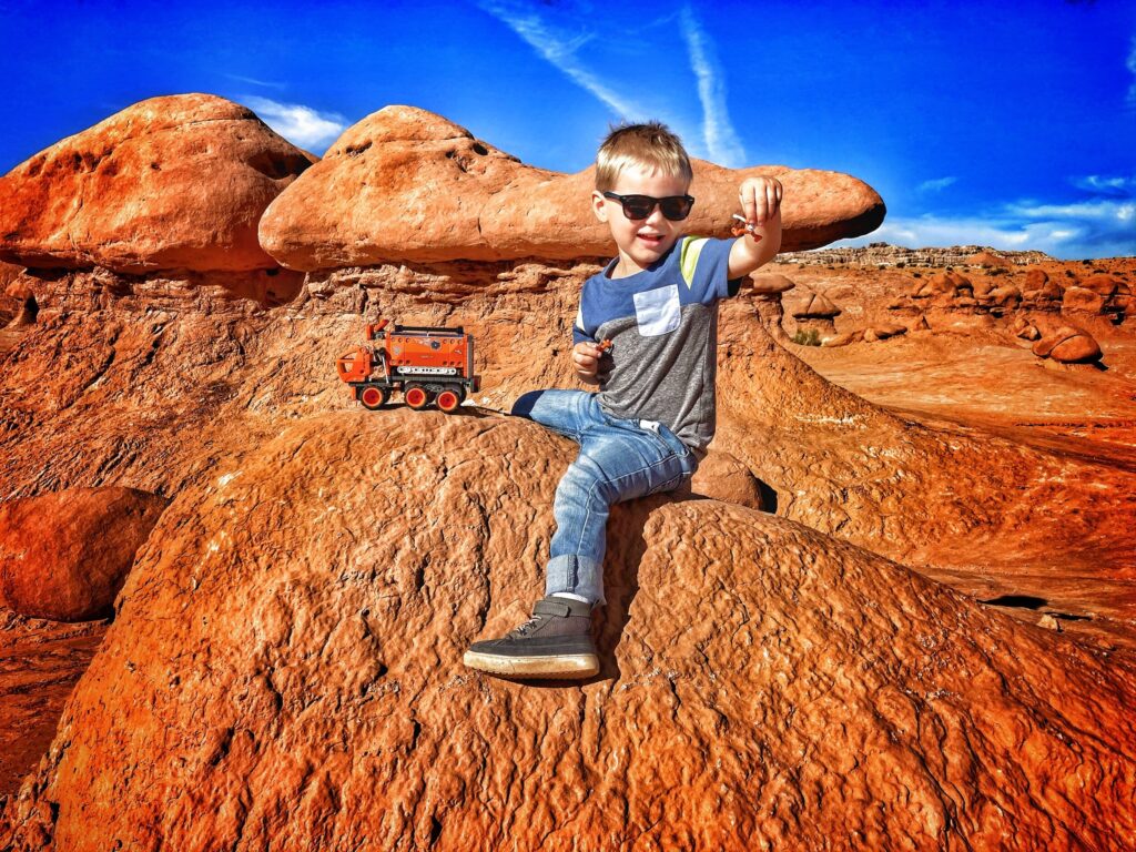
Owen has spent a lot of time in national parks and he is well acquainted with the conservationist mantra “stay on the trail.” So when we arrived here and told him there was no trail and he could simply go explore the area, it took him a few minutes to actually wrap his mind around that. Once he figured it out though, he was thrilled! He took great pride in being the leader of our little party and picking our route through the valley. The area is very family friendly, and while it would be hard to get dangerously lost here, it is very easy to get seperated, so we still kept a close eye on him.
We have been to a lot of places that felt like they belonged to either to a different time (Yellowstone), or a different planet (Craters of the Moon), and Goblin Valley definitely gets added to that list. Due to the red sandstone that is common in the area, there was a strong Mars vibe here. So much so that we decided to do a rough stop-motion video of Owen’s “mobile science lab” toy. Side-note: If you have ever tried to produce your own stop-motion video, you know how time consuming this can be. I ran up and down that rock somewhere between 75 and 100 times, moving the vehicle a fraction of an inch each time while Kristy painstakingly held the camera steady and clicked the photo button. I don’t know about you, but I think the results are down right cinematic 🙂
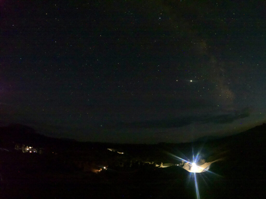
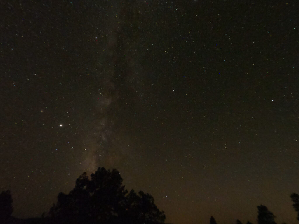
Goblin Valley State Park at night
Before leaving the area, we visited Goblin Valley three times, twice during the day, and once in the evening. In addition to being a fun place to explore in the daytime, the park is an “International Dark Sky Place”, meaning there is exceptionally little ambient light or light pollution in the area. We didn’t stay out too late, but we were still able to get some excellent views of the night sky and milky way.
If you happen to be visiting any of the Utah “Mighty 5” parks, it’s worth planning a little extra time to stop by Goblin Valley, especially if you have kids along with you. It was one of Owen’s favorite destinations, and ranks up near the top for Kristy and I as well. Forgive me this one final pun, but whatever you do, don’t miss out on these hoodoos 😉
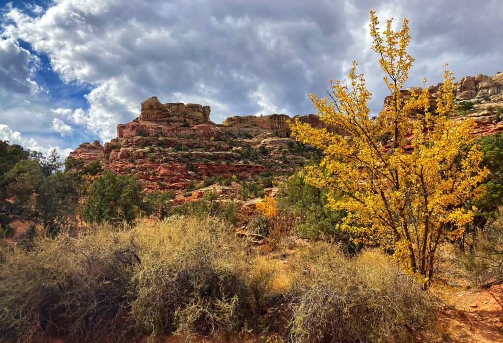
Gallery
This state park was recommended to us by several people, and we sure are glad we decided to check it out. With hoodoos as far as the eye could see, and the ability to simply explore the valley without the confines of a trail, this ranked among our favorite destinations so far.